- [01] Adams Co, OH (18)
- [02] Allen Co, OH (2)
- [03] Ashland Co, OH (14)
- [04] Ashtabula Co, OH (11)
- [05] Athens Co, OH (20)
- [06] Auglaize Co, OH (5)
- [07] Belmont Co, OH (24)
- [08] Brown Co, OH (32)
- [09] Butler Co, OH (8)
- [10] Carroll Co, OH (22)
- [11] Champaign Co, OH (9)
- [12] Clark Co, OH (3)
- [13] Clermont Co, OH (10)
- [14] Clinton Co, OH (4)
- [15] Columbiana Co, OH (19)
- [16] Coshocton Co, OH (14)
- [17] Crawford Co, OH (13)
- [18] Cuyahoga Co, OH (15)
- [19] Darke Co, OH (8)
- [20] Defiance Co, OH (7)
- [21] Delaware Co, OH (10)
- [22] Erie Co, OH (4)
- [23] Fairfield Co, OH (9)
- [24] Fayette Co, OH (3)
- [25] Franklin Co, OH (12)
- [26] Fulton Co, OH (4)
- [27] Gallia Co, OH (9)
- [28] Geauga Co, OH (10)
- [29] Greene Co, OH (1)
- [30] Guernsey Co, OH (34)
- [31] Hamilton Co, OH (6)
- [32] Hancock Co, OH (5)
- [33] Hardin Co, OH (5)
- [34] Harrison Co, OH (15)
- [35] Henry Co, OH (4)
- [36] Highland Co, OH (15)
- [37] Hocking Co, OH (7)
- [38] Holmes Co, OH (12)
- [39] Huron Co, OH (15)
- [40] Jackson Co, OH (8)
- [41] Jefferson Co, OH (11)
- [42] Knox Co, OH (13)
- [43] Lake Co, OH (2)
- [44] Lawrence Co, OH (9)
- [45] Licking Co, OH (17)
- [46] Logan Co, OH (5)
- [47] Lorain Co, OH (13)
- [48] Lucas Co, OH (5)
- [49] Madison Co, OH (6)
- [50] Mahoning Co, OH (13)
- [51] Marion Co, OH (5)
- [52] Medina Co, OH (9)
- [53] Meigs Co, OH (15)
- [54] Mercer Co, OH (3)
- [55] Miami Co, OH (4)
- [56] Monroe Co, OH (28)
- [57] Montgomery Co, OH (11)
- [58] Morgan Co, OH (20)
- [59] Morrow Co, OH (9)
- [60] Muskingum Co, OH (24)
- [61] Noble Co, OH (15)
- [62] Ottawa Co, OH (8)
- [63] Paulding Co, OH (6)
- [64] Perry Co, OH (8)
- [65] Pickaway Co, OH (7)
- [66] Pike Co, OH (9)
- [67] Portage Co, OH (8)
- [68] Preble Co, OH (9)
- [69] Putnam Co, OH (9)
- [70] Richland Co, OH (11)
- [71] Ross Co, OH (7)
- [72] Sandusky Co, OH (8)
- [73] Scioto Co, OH (16)
- [74] Seneca Co, OH (16)
- [75] Shelby Co, OH (5)
- [76] Stark Co, OH (16)
- [77] Summit Co, OH (5)
- [78] Trumbull Co, OH (3)
- [79] Tuscarawas Co, OH (15)
- [80] Union Co, OH (9)
- [81] Van Wert Co, OH (5)
- [82] Vinton Co, OH (9)
- [83] Warren Co, OH (3)
- [84] Washington Co, OH (34)
- [85] Wayne Co, OH (20)
- [86] Williams Co, OH (4)
- [87] Wood Co, OH (5)
- [88] Wyandot Co, OH (10)
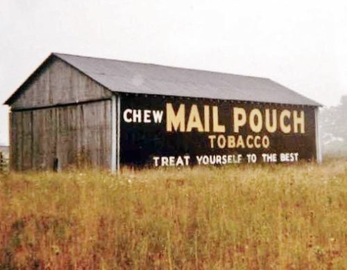
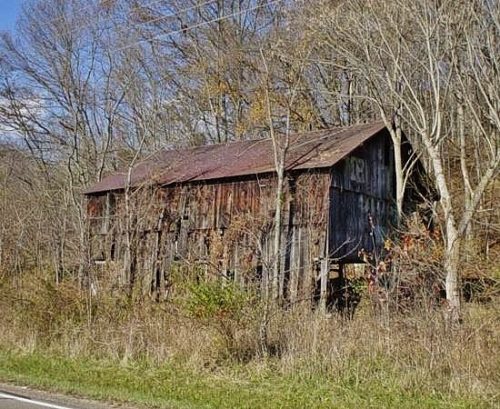
OH-37 southeast of OH-605 by about 2.3 miles. The barn is on the left side of the highway headed southeast. The Mail Pouch sign faces southeast. One side. Black. Roof extension and brush obscures the MP/KC sign.
*GONE (razed and removed)* OH Rt. 435/OH Rt. 729/Co. Hwy 35A (old US Rt. 35) east of I-71 by about 1.25 miles. Just east of the OH Rt. 729 intersection. The barn was on the left side of the highway headed east. The MB/KC sign faced west. The Mail Pouch end faced west. Two ends.
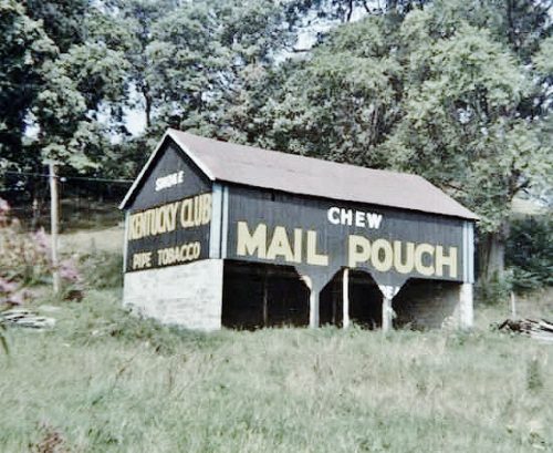
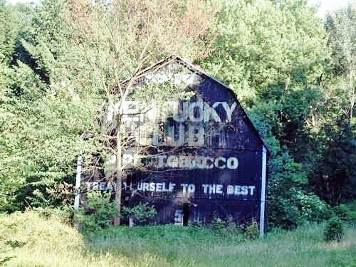
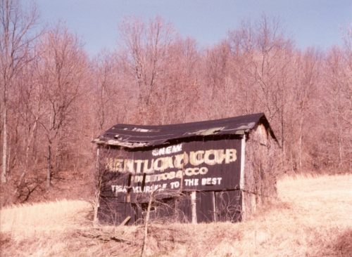
US-250 (Cadiz-Dennison Rd.), west of US-22 by about 3.7 miles. The barn is on the right side of the highway headed west. The Mail Pouch sign on the side faces south. The Kentucky Club sign on the end faces west. Black backgrounds.
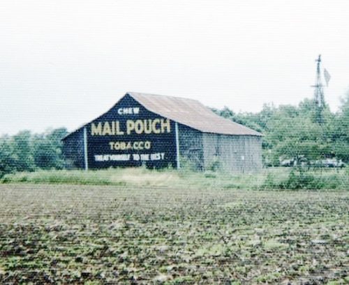
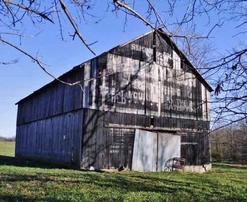
US Rt. 22 (Cadiz-Piedmont Rd.), southwest of US Rt. 250 by about 5.5 miles. The barn is on the left side of the road headed south, just past the intersection with Slater Rd. One end. One side. Black.
*GONE (fallen and removed)* OH Rt. 180/OH Rt. 374 west of US Rt. 33 at Mt Olive Rd. North of the OH Rt. 180/OH Rt. 374 split by about 4.0 miles. The barn was on the left side of the highway headed west. The MP/KC signs faced west. One end. Black.
*GONE (fallen)* Along the north side of OH-43 west of the OH-152 intersection, In Richmond, by 4.8 miles. The barn was on the right side of the highway headed west from Richmond. Two ends. One side. Black Backgrounds.
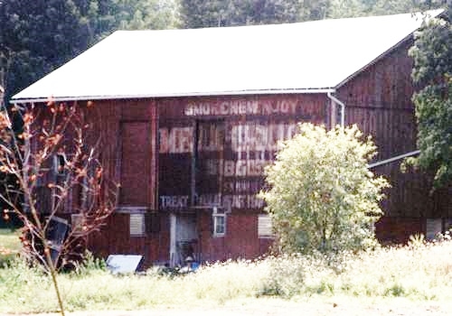
*GONE (razed and removed)* US Rt. 36/OH Rt. 3 (Columbus Rd.) southwest of OH Rt. 229 by about 3.6 miles. The barn was on the left side of the highway headed southwest. Two ends. Red.
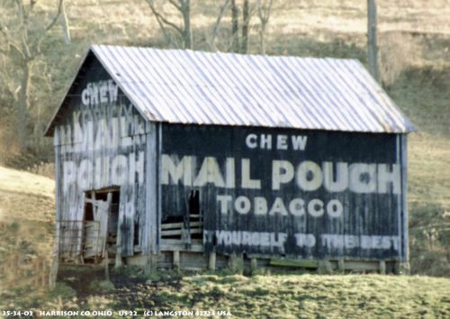
OH-13 (Jacksontown Rd.) north of US-40 by 2.4 miles and south of MPB 35-45-08 site by 1.9 miles. Directly across from Hirst Rd. (Co. Hwy. 310). The barn is on the left side of the highway headed north. One end Mail Pouch sign faces north. One side Kentucky Club sign faces east. Red backgrounds.
*GONE* (razed and removed) Along the east side of Branch Rd. just past the OH-586 intersection, north of the intersection with OH-16 by 2.3 miles. The barn was on the right side of the road headed north. The Mail Pouch end faced south. The Kentucky Club side faced west. Red Backgrounds.
*GONE* Exact location not known. Two sides. Black Background.
*GONE* (destroyed in 1987 site cleared) Along the south side of Woodsfield Rd (OH-78) east of the intersection with Seneca Lake Rd (OH-147) by 1.9 miles. The barn was on the rights side of the road headed east from Seneca Lake Rd. The Mail Pouch signs were on the east and west ends of the barn and the Kentucky Club tobacco sign was on the north side of the barn. Black Bacckgrounds.
*GONE* (razed and removed) Along the north side of OH-111 west of Williams St. intersection, in Paulding, by 8.6 miles. The barn was on the right side of the highway headed west from Paulding. Two sides. Mail Pouch sign on the west side. Onld Kentucky Club tobacco sign on the east side which was subsequently overpainted with a Mail Pouch sign. Black Backgrounds.
OH Rt. 155 (Sanders St.), east of OH Rt. 93 (2nd St.), in Shawnee, by about 4.0 miles. The barn is on the right side of the highway headed east. The MP/KC sign faces southwest. One end. Red. Greatly faded.
Along the southwest side of US-30 (Lincoln St. SE) southeast of Wood St. intersection, in East Canton, by 4.1 miles. The barn is on the right side of the highway headed southeast. The Mail Pouch sign faces northeast. The Kentucky Club sign faces southeast. One end (Kentucky Club). One side (Mail Pouch). Black Backgrounds.
*GONE* (faded away) Along the south side of US-224 west of US-30 by about 4.8 miles. The barn is on the left side of the highway headed west. Two ends. Mail Pouch with red background faces west. Kentucky Club with black background faces east.
*GONE* (fallen and removed) Along the east side of OH-278, north of US-50, in Prattsville, by 2.9 miles. The barn was on the right side of the highway headed north. The MP/KC sign faced west. One side. Black background.
Along the north side of OH-141 northeast of the intersection with Neds Fork Rd (CR-53) in Kitts Hill, by 2.5 miles. Just before the intersection with Twp. Rd. (Union Church - Lodge Ridge Rd.). On the left side of the highway headed east. Just past the Union Baptist Church at the 9 1/2 mile marker. Signs face south. One side. Black Background & 2 by unknown .
*PARTIAL GONE* (East end painted over) US Rt. 50 est of Rainsboro by about 1.5 miles. The barn is on the right side of the highway headed east. Two ends (east and west). One side (south). Black. Greatly faded.
*GONE* (covered over) OH-179 (E. Main Street) east of OH-60 (Mechanic St.), in Hayesville, by 0.5 mile. The barn is in a field on the right side of the road headed east. The Mail Pouch/Melo Crown sign faced north. One side. Black Background.
*GONE (fallen)* US Rt. 52 (Main St.), west of OH Rt. 222, in Chilo by 2.4 miles. Just northwest of the Meldahl Dam access road. The barn was on the right side headed northwest from OH Rt. 222. The MP/MC sign faced southeast. One end. Black.
