Along the south side of US-40 west of OH-726 by 2.2 miles. The barn is on the left side of the highway headed west. The Mail Pouch sign faces east. One end. Black. Greatly faded.
*GONE* (Barn remains. sign probably gone) Along the north side of US-35W east of OH-503 by 0.4 mile. The barn is on the left side of the highway headed east. The Mail Pouch sign faced west One side. Black Black Background.
*GONE* (razed and removed) Along the south side of US-40 (National Rd.), east of the Ohio/Indiana state line by 5.7 miles. The barn was on the right side of the highway headed east from Indiana. One Mail Pouch sign end faced west. One Mail Pouch sign side faced north. Black Background.
*GONE* (razed and removed) Along the south side of OH-122 west of the intersection with US-35, in Eaton, by 1.7 miles. The barn was on the left side of the highway headed west from Eaton. The Mail Pouch sign faced east. One end (see 'Other Information'). Black Background.
*GONE* (razed and removed) Along the east side of US-127 north of the intersection with US-40 by 4.6 miles. The barn was on the right side of the highway headed north from US-40. The Mail Pouch sign faced north. One end. Black Background.
*GONE* (razed and removed) Along the north side of US-40 west of the intersection with N. Commerce St. (OH-503), in Lewisburg, by 1.7 miles. The farm site is at the northwest corner of the US-40/E Lock Rd intersection. The Mail Pouch sign faced south. One end. Black Background.
*GONE* (razed and removed) Along the southwest side of US-35 northwest of the intersection with Main St., in Eaton, by 5.3 miles. The barn was on the left side of the highway headed northwest from Eaton. The Mail Pouch sign faced northwest. One end. Red Background.
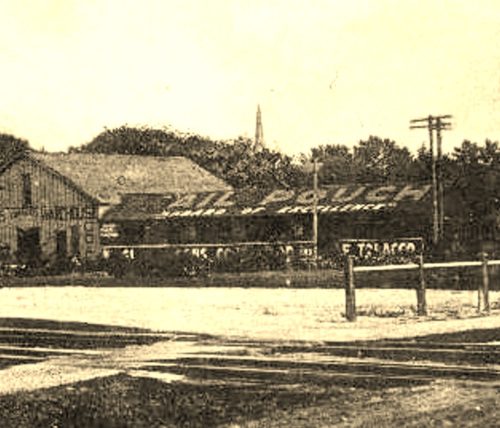
*GONE* (demolished and removed) Along the east side of US-127 (N. Barron St.) just northeast of the RR station, across the RR tracks. Roof Mail Pouch sign. Sign faced southwest. Black Background.
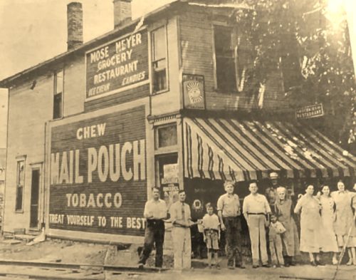
*GONE* (covered over) Along the north side of E. Dayton St. (US-35), in West Alexandria, east of Main St. intersection by 0.2 mile. The two-story frame building is on the left side of the street headed east. The Mail Pouch sign faced west. One side. Black background.


