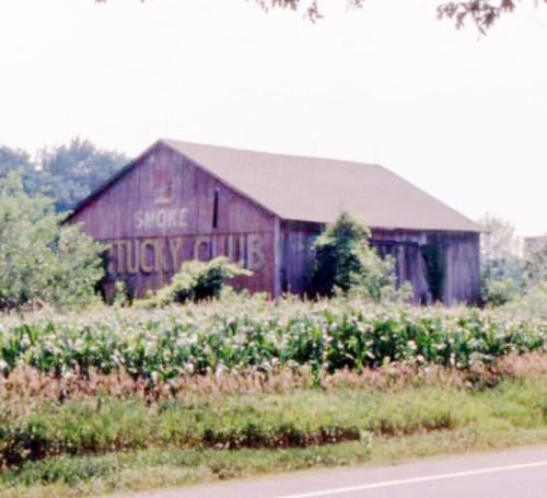
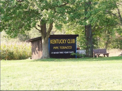
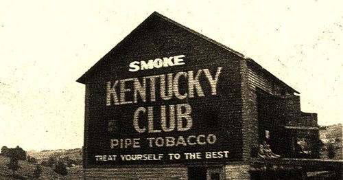
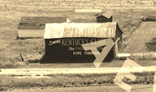
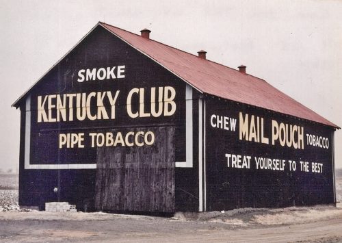
*GONE* (fallen and subsequently removed) Along the south side of US Rt. 6 (GAR Hwy) west of Albion St. (N 290 W) intersection, in Wawaka, by 1.3 miles. The barn was on the left side of US-6 headed west from Wawaka. The Kentucky Club sign faced east. One end. Red background.
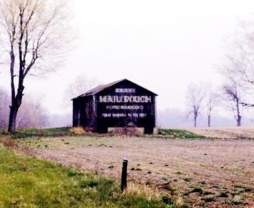
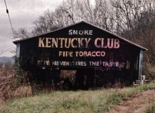
OH Rt. 171 (Waynesburg Rd. NW) east of Waynesburg by about 4.4 miles; and, east of the Stark County line by about 3.7 miles. Right side of the highway headed east. The KC sign faces north. One side. Black.
*GONE* Londonderry. One end. Black.
*GONE (painted over)* OH Rt. 31 south of Kenton by about 2.5 miles. The barn is on the right side of the highway headed south. The KC sign faced north. One end. Original black. Now over-painted white.
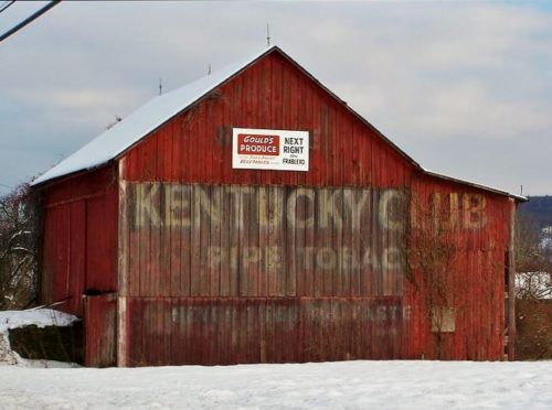
US Rt. 209 east of PA Rt. 715, in Brodheadsville, by about 0.7 mile. The barn is on the right side of the highway headed east. The KC sign faces west. One end. Red.
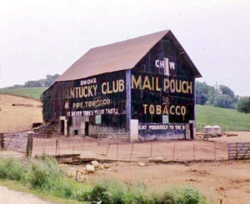
*GONE* (razed and removed) Along the north side of US-12 west of the US-12 & MI-103 intersection in Mottville by about 1.0 mile. Just west of the St. Joseph Co. line. The barn was on the right side of the highway headed west. The Kentucky Club sign faced east. The Red Man Tobacco sign on the silo faced southeast. One side. Original Black background for the Kentucky Club sign, Original White background for the Red Man sign.
*GONE (razed and removed)* The barn faced on Twp. Rd-180 and was view along the southeast side of US-68, south of the intersection with W. Espy St (OH-67), in Kenton, by 3.8 miles. The barn was on the life side of the highway headed southwest from Kenton. A very faded Red Man Tobacco sign was originally on the barn which was subsequently overpainted with a Kentucky Club Tobacco sign. The signs face north. The original barckgrounds were black. One side.
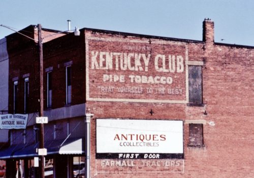
*GONE* (razed and removed for new Post Office building) At the southwest corner of the intersection of IN-5 (n. Jefferson St.) & Water St., in Cromwell. On the northeast side of the old post office. The Kentucky Club tobacco sign faced northeast. One side. Black background.
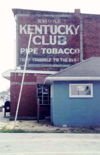
OH Rt. 31 (Main St.) at the intersection with the RR tracks, in Mt. Victory. On the right side of the street just crossing the RR tracks. The KC sign faces southeast toward the tracks. One side. Brick building. Black Barckground.
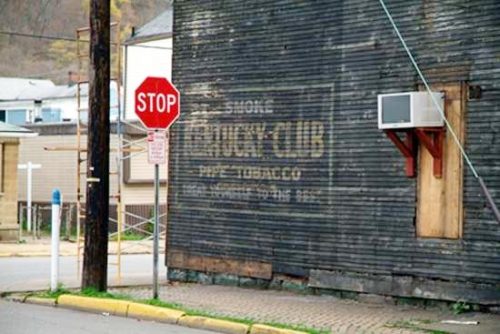
*GONE* (razed and removed - July 2019) Southwest corner of Jacob St. & 40th St., in Wheeling. The building (an old bar) was on the right side of 40th St. headed from Water St. toward Jacob St. The KC sign faces north. One side. Three story, wood frame building formerly used as a bar. Original Black Background.
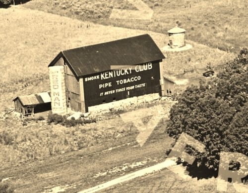
*GONE* Along the west side of IN-101 south of IN-8 by about 2.6 miles. The barn was on the left side of the highway headed south from IN-8. The MP/KC signs faced south. One end. Black backgrounds.
*GONE* (fallen) Along the east side of IN-56 west of the Ferry St. intersection, in Vevay, by 10.5 miles. The barn was on the right side of IN-56 headed west from Vevay. Two sides (Mail Pouch) One southwest end (Kentucky Club). Black backgkrounds.
*GONE* (fallen and removed) Along the east side of US-231 south of US-50 by about 4.0 miles. The barn was on the left side of the highway headed south. The Kentucky Club side faced north. The Mail Pouch end faced west. Black backgrounds.
*GONE* (razed and removed) Along the west side of IN-9 (N. Baseline Rd.) south of Main St./E. State Rd 8 intersection, in Albion by 1.1 miles. The barn was on the right side of IN-9 headed south from Albion. The Mail Pouch side faced east. The Kentucky Club end faced north. Balck backgrounds.
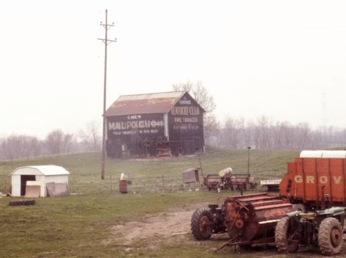
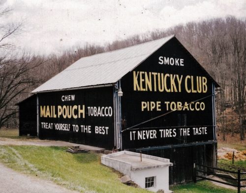
*GONE* (razed and removed) Along the north side of the National Pike (US-40) east of US-219 by about 5.3 miles. The barn was on the left side of the highway headed east. Two ends and one side. West end and south side of barn were Mail Pouch. East end of the barn was Kentucky Club. black backgrounds.
US Rt. 52 (Ohio River Scenic Byway) west of the Scioto County line by about 9.5 miles. MP sign faces west. KC sign faces east. Two ends. Black background.
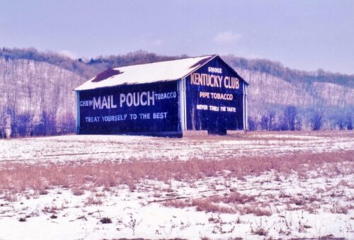
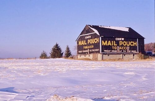
US Rt. 33, south of US Rt. 50 by about 2.8 miles. South of Twp. Hwy. 62 (Robinson Rd.) by about 600'. Barn is on the left side of US Rt.33 headed south. One end - Kentucky Club. One side - Mail Pouch. Black.
OH-125 southwest of US-62 by about 3.0 miles. The barn is on the right side of the highway headed southwest. Two ends (One Mail Pouch, facing east & one Kentucky Club, facing west). Two sides, facing north and south (Mail Pouch). Black backgrounds.
*GONE* US Rt. 30 (Lincoln Hwy.) east of OH Rt. 9 (1st St.), in Hanoverton, by about 3.5 miles. East of MPB 35-15-02 by 500'. The barn was on the left side of the highway headed east. Two ends. East end - Kentucky Club sign. West end - Mail Pouch sign. Black backgrounds.
*GONE* (razed and removed) OH-4 south of OH-103, in Chatfield, by 2.3 miles. The barn was on the left side of the highway headed south from Chatfield. The Mail Pouch sign faced north. One end. Black background.
