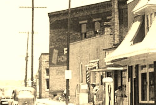
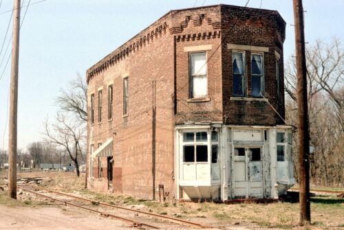
*GONE (razed and removed)* Southeast corner of the E. Main St./S. Front St. intersection, in Oak Hill. In 2018 Google Earth view now a vacant lot. The 'Chew Honest Scrap' sign faced to the west. One side. Two story brick/masonry building.
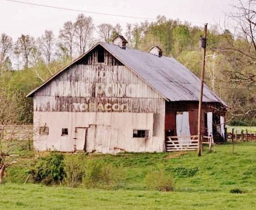
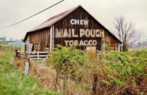
US Rt. 35 north of OH Rt. 93, north of Jackson, by about 7.0 miles to Co. Rd. 70 (Savageville School Rd.). Turn right onto Co. Rd. 70 and travel about 800'. The barn is high in a field on the right side of the road. The MP sign faces southwest. One end. Black. Greatly faded.
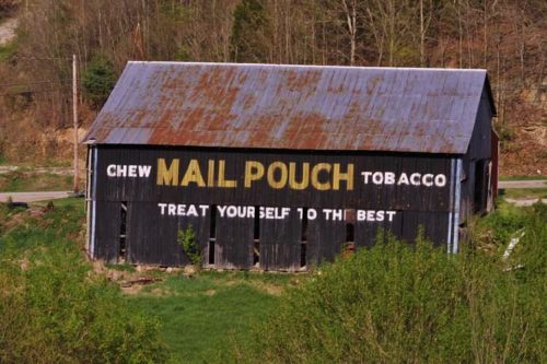
US Rt. 35 north of OH Rt. 93, north of Jackson, on the right side of the highway headed north. Just before the barn there is Co. Rd. 71 (Lloyd Bridges Rd.) to the right. Make the right turn onto CO.Rd. 71. The barn is on the left side of the road approximately 200' from US Rt. 35. The MP sign faces west. One side. Black.
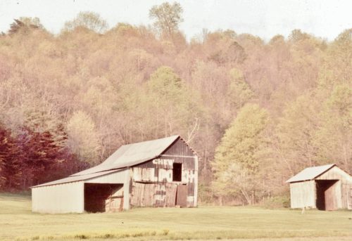
*GONE (razed and removed)* Along the northeast side of OH-139 north of the OH-139/OH-279 Junction by 1.8 miles. The barn was on the right side of the highway headed northeast. The Mail Pouch sign faced southwest. On end. Black Background.
*GONE* (razed and removed) Along the northeast side of OH-93 south of OH-124, in Jackson, by 5.8 miles. The barn was on the left side of the highway headed southeast from Jackson. Directly across the hgihway from the Camba Rd (TH-15) intersection. The Mail Pouch sign faced southeast. One end. Black background.
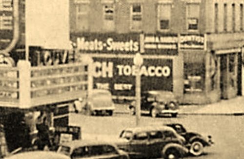
*GONE* (painted over) The building with the Mail Pouch sign was located on the NW corner of S. Ohio Ave. & 1st St, directly across the street from the Louvee Theater, in Wellston. Building was two story masonry. The Mail Pouch sign faced south. Black Background.
*GONE* (razed and removed) Along the northwest side of Harding Ave. northeast of the Mail St. intersection, in Jackson, by 0.1 mile. The two story brick building wa on the left side headed northeast from Main St. The Mail Pouch sign faced southwest. One side. Black background.
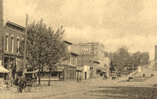
*GONE (razed and removed)* Northeast corner of the E. Broadway/N. Ohio Ave. intersection, in Wellston. The OWL Cigar sign faced west.
