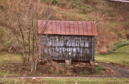
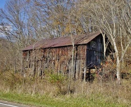
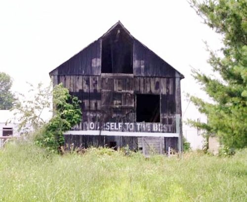
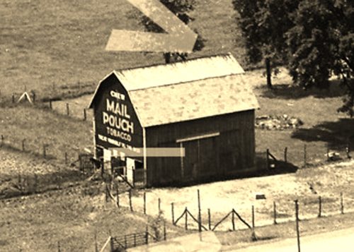
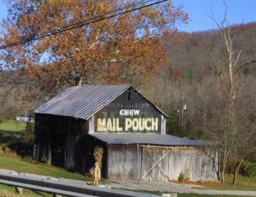
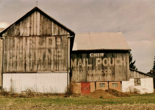
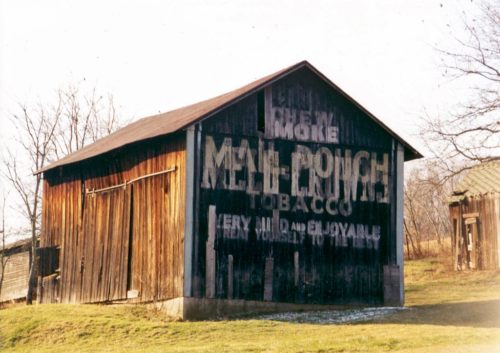
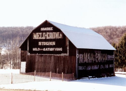
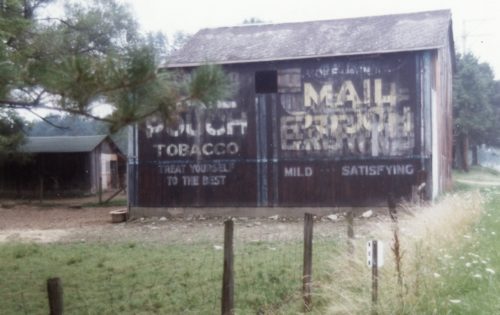
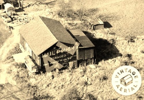
Old US Rt. 33 south of US Rt. 50 by about 5.0 miles. South of Twp. Hwy 64 (Hawks Nest Rd.) by about 400'. The barn is on the right side of old US Rt. 33 headed south. The sign faces southeast. One side. Black. Greatly faded.
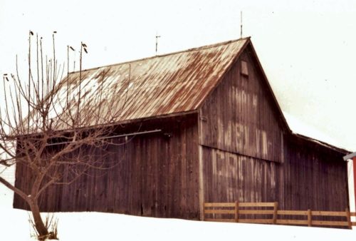
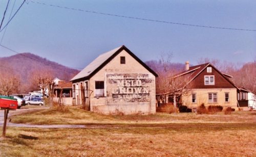
*GONE* (razed and removed) Along the east side of OH-7 (N. Main St.) south of OH-681, in Tuppers Plains, by about 1.5 miles. The barn was on the left side of the highway headed south.The Melo Crown sign faced south and it was very difficult to make out the 'Melo Crown' wording. One end. Black Background.
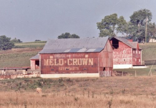
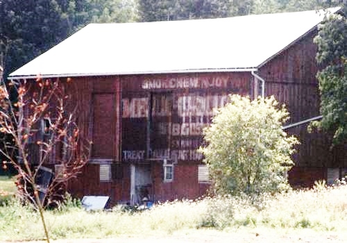
OH Rt. 550 southeast of OH Rt. 555 by about 4.4 miles. The barn is on the right side of the highway headed southeast. One side. Red.
(This sign may be totally faded away) Along the northwest side of Guys Mill Rd. (PA-27) east of PA-77 (Hickory St.), in Meadville, by about 13.8 miles; and, west of PA-8 (Spring St.) in Titusville, by about 12.5 miles. The barn is on the north side of the highway. The Melo Crown sign faces northeast. One end. Black Background. Greatly faded.
*Gone* (razed and removed) Along the southeast side of Elk River Rd. N (US-119), southwest of WV-4 junction, in Clendenin, by about 6.5 miles. The building was on the left side of the highway headed southwest. The Melo Crown sign faced southwest. One end. Black background.
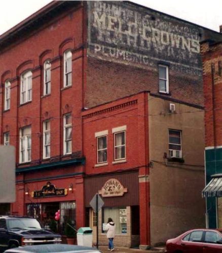
Along the west side of S. Broad St. (PA-173/PA-208, in Grove City, north of College Ave. intersection by about 190'. The three-story brick building is on the left side of S. Broad St. headed north from College Ave.The Melo Crown sign faces north. Three-story brick building. Black Background. Greatly faded.
Along the north side of OH-141 northeast of the intersection with Neds Fork Rd (CR-53) in Kitts Hill, by 2.5 miles. Just before the intersection with Twp. Rd. (Union Church - Lodge Ridge Rd.). On the left side of the highway headed east. Just past the Union Baptist Church at the 9 1/2 mile marker. Signs face south. One side. Black Background & 2 by unknown .
*GONE* (razed and removed) Along the southwest side of N. Pike Rd. (PA-356) northwest of PA-28 (Allegheny Valley Expy.) by about 7.0 miles. The barn was on the left side of N. Pike Rd. headed northwest. The site is almost directly across from the Cooper Rd. intersection. The Mail Pouch end and the KC/MC side faced northwest. One end (MP). One side (KC/MC). Black backgrounds.
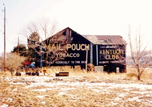
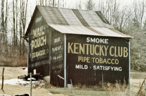
US Rt. 219 (Mahaffey Grampian Hwy.) south of Main St., in Grampian, by about 1.2 miles. North of PA Rt. 969 (Lumber City Hwy.) by about 3.4 miles. The barn is on the southeast side of the highway. North east end Mail Pouch/Kentucky Club/Melo Crown. Southwest end Mail Pouch. Northwest side Kentucky Club. Black.
*GONE* (covered over) OH-179 (E. Main Street) east of OH-60 (Mechanic St.), in Hayesville, by 0.5 mile. The barn is in a field on the right side of the road headed east. The Mail Pouch/Melo Crown sign faced north. One side. Black Background.
*GONE (fallen)* US Rt. 52 (Main St.), west of OH Rt. 222, in Chilo by 2.4 miles. Just northwest of the Meldahl Dam access road. The barn was on the right side headed northwest from OH Rt. 222. The MP/MC sign faced southeast. One end. Black.
*GONE* (faded away and painted over)US Rt. 22(Cincinnati Zanesville Rd. SW) east of OH Rt. 674(Winchester Southern Rd.) by about 1.7 miles. The barn is on the right side of the highway headed northeast. Two signs. The MP/MC sign faced northeast. The MP sign faced southwest. Two ends. Black Background.
*GONE* (razed and removed) Along the north side of W. Akron - Canfield Rd./US Rt. 224, west of OH Rt. 45, in Ellsworth, by 2.7 miles. The barn was on the right side of the road headed west from Ellsworth. Two ends & One side. Mail Pouch sign on the west end. Melo-Crown Stogies on the east end (Previous to the Melo-Crown sign a Mail Pouch sign was on the east end). Mail Pouch sign on the south side. Black backgrounds.
*GONE* (fallen & removed) Along the south side of Tallmadge Rd. (CR-18) west of OH-225, in Palmyra, by 2.3 miles. The barn was on the left side of the road headed west from Plamyra. The Mail Pouch sign faced east. One end. Black Background. The Melo-Crown sign was barely visible.
*GONE* (fallen) Along the northeast side of OH-125 northwest of US-52, in Friendship, by 3.2 miles. Two ends. There was a Mail Pouch sign with very faint Melo Crown sign on the southeast end of the barn; and, a Mail Pouch sign on the northwest end of the barn. Black Backgrounds.
*GONE* (razed and removed) Along the west side of US-19, north of PA-68 by 3.2 miles. About 250 feet south of Schott Lane intersection with US-19, on the right side, headed south. One end and one side, both facing south. Black backgrounds.
*GONE* (razed and removed) Along the southwest side of Oneida Valley Rd. (PA-38) north of US-422 (Benjamin Franklin Hwy.) by about 7.8 miles. The barn was on the left side of the highway headed north. The MP/MC sign faced north. One end. Black backgrounds.
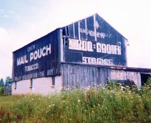
Along the west side of PA-77 (Spartansburg Hwy.) south of W, Main St., in Corry by about 3.3 miles. The barn is on the right side of the highway headed south. The Mail Pouch side faces north. The Melo Crown end faces east. Black backgrounds.
Along the east side of N. Perry Hwy. (US-19) north of Franklin Rd. (US-62) intersection, in Mercer, by 10.4 miles. The barn is on the right side of the highway headed north. the signs (Mail Pouch and Melo Crown) face north. Greatly faded. Black Background.
*GONE* (fallen & removed) PA-157 southeast of US-62 (President Rd.) by about 1.8 miles. The barn was on the left side of the highway headed east. One end. Black background.
