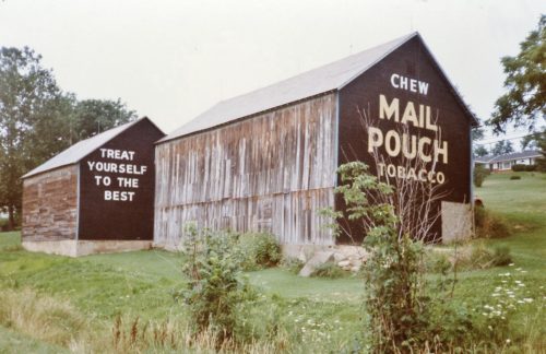
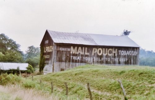
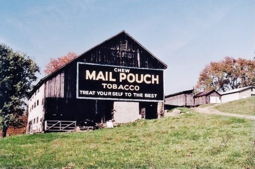
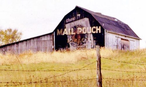
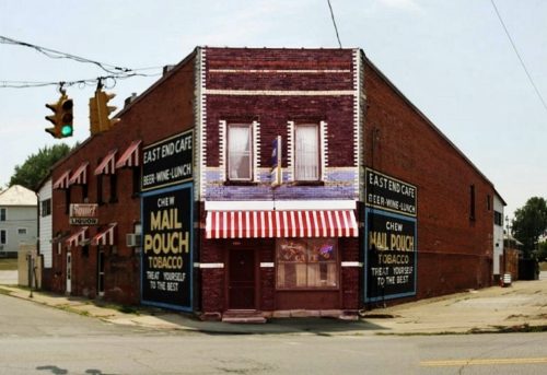
*GONE* (Painted over or sandblasted off) US-40 (Main St.) west of S. 2nd St. intersection by 440'. The 4 story brick building is on the left side of the street headed west. The Bull Durham sign faced west and is on the same building adjacent to MPS 35-60-15. 4 story masonry building. One side. Black Background.
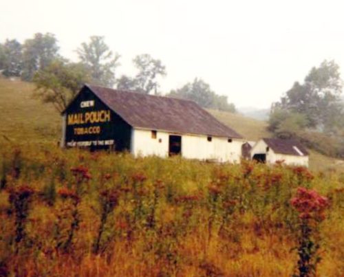
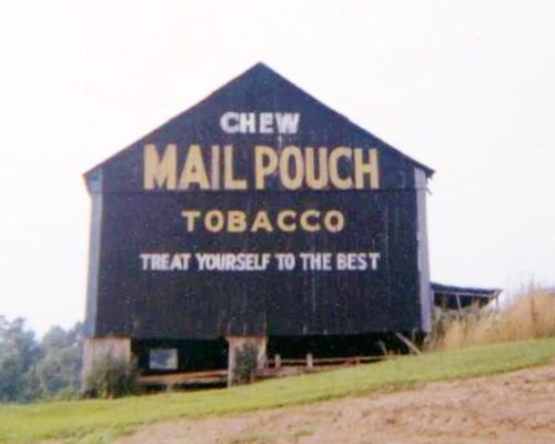
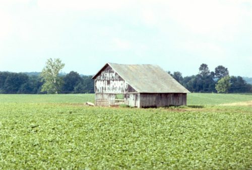
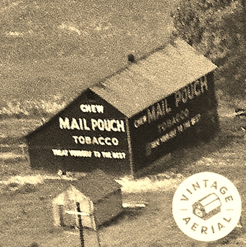
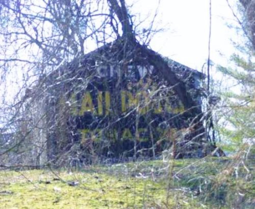
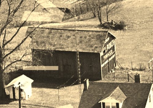
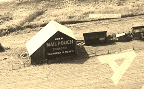
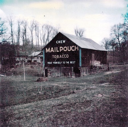
US-40, east of OH-668 by about 7.1 miles. West of Zaneville by about 3.0 miles. The barn is on the right side of the highway headed west from Zanesville. Two ends. Black backgrounds.
*GONE* (razed and removed) Along the southwest side of OH-146 (Chandlersville Rd.), northwest of Claysville Rd. (OH-313) intersection, in Chandlersville, by 2.3 miles. The barn was on the left side of the road headed northwest. Two sides (NW & SE); and, one end (NE). Black Background.
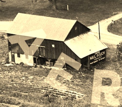
Along the north side of US-22/US-40 (E. Pike), west of OH-83, in New Concord, by1.5 miles. The barn is on the right side of the highway headed west. The Mail Pouch sign faces east. One end. Black Background.
Along the south side of US-22/US-40 (E. Pike), west of OH-83, in New Concord, by 3.5 miles. The barn is on the left side of the highway headed west. The Mail Pouch sign faces east. One end. Black Background with unique Mail Pouch sign.
Along the northwest side of Marne Rd. southwest of OH Rt. 586 (Blackrun Rd.) by 0.5 mile. The barn is on the right side of the road headed southwest. The Mail Pouch sign faces southwest. One end. Black Background.
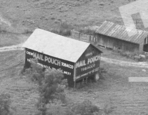
*GONE* (razed and removed) Along the northeast side of Friendship Dr. (OH-83) north of the US-22 intersection, in New Concord, by 5.4 miles. The barn was on the left side of the highway headed north. Two Mail Pouch signs: One on the south end; and, one on the west side. Black Backgrounds.
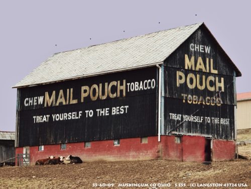
Along the northwest side of OH-555 (Center Rd.), south of the OH-555/OH-719 junction, in Zanesville, by 10.7 miles. The barn is on the right side of the highway headed southwest. Two Mail Pouch signs: Northeast end; and, southeast side. Black Backgrounds.
*GONE* Along the south side of Raiders Rd. west of OH-60 intersection by 2.0 miles. The barn was on the left side of Raiders Rd headed west from OH-60. The Mail Pouch sign faced east. One end. Black Background.
*GONE (fallen, demolished and hauled away)* Along the west side of OH-83 (Friendship Dr.), north of US-22 by 3.0 miles. The barn was on the left side of the highway headed north. Mail Pouch sign on the east end of the barn; and, Mail Pouch sign on the north side of the barn. Black Backgrounds.
*GONE* (razed and removed) Along the south side of Raiders Rd. (Old OH-16) east of OH-60 by 0.6 mile. The barn was on the right side of Raiders road headed east from OH-60. The Mail Pouch sign faced northeast. One end. Black Bacjground.
*GONE* (faded away) US-22/US-40 (E. Pike), southwest of I-70 by 1.4 miles. The barn is on the left side of the highway headed southwest. The Mail Pouch sign faced southwest. One end. Black Background.
*GONE* (razed and removed) Along the west side or Rose Hill Rd (CR-696) north of the Main St. intersection, in Roseville, by 1.3 miles. The barn was on the left side of the road headed north from Roseville. The Mail Pouch sign faced east. One end. Black Background.
*GONE* (painted over) Along the south side of Creamery Rd. west of the intersection with OH-62 by 1.7 miles. The barn is on the left side of the road headed west from OH-60. The Mail Pouch sign faced east. One end. Original Black Backround.
*GONE* (razed and removed - site totally cleared) Along the northeast side of Creamery Rd east of the intersection with OH-146 by 2.4 miles. The barn was on the right side of the road headed east from OH-146. Mail Pouch sign on the north end of the barn; and, a Mail Pouch sign on the east side of the barn. Black Backgrounds.
*GONE* (razed and removed) Along the south side of East Pike (US-22/US-40) east of the intersection with the I-70 - 157 exit. The barn was on the right side of the highway headed east. The Mail Pouch sign faced east. One side. Red background.
*GONE* (razed and removed) Along the north side of National Road east of the US-40 intersection by 0.9 mile. The barn was on the left side of the road headed east from the US-40 intersection. The Mail Pouch sign faced south. One side Black background.
US-40, east of OH-668 by about 6.8 miles. On the left side of the highway headed east from OH-668. The Mail Pouch/Red Man sign faces south. One end. Mail Pouch - Black background. Red Man - Yellow background.
On the southwest corner of Greenwood Ave. (US-22/US-40/OH-93) and Cemetery Ave., in Zanesville. Two sides. Black backgrounds. On each side the prevalent Mail Pouch sign over paints a much older, greatly faded Mail Pouch sign.
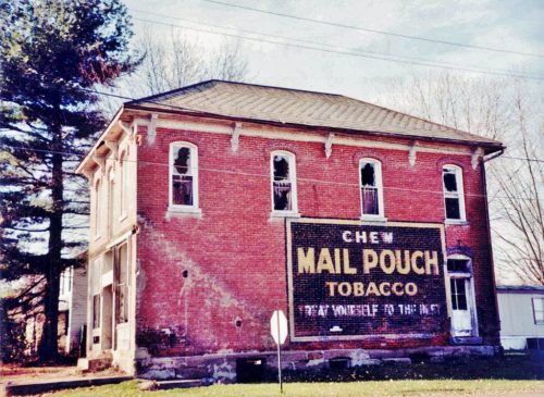
Northwest corner of Main St. & 1st St. intersection in the village of Sonora. North of I-70 (exit 160). One side brick building. MP sign with black background on brown brick building.

