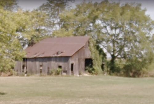
MPB/KCB 35-24-01

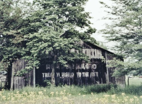
Photo 1
Sides Painted
2
Color
Black
Structure
Barn
Unique Characteristics
None
Still Standing
No
Credits

Photo 1 by Myron Huffman.

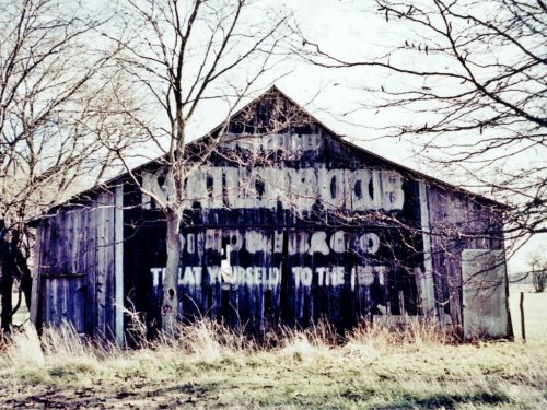
Photo 2 by Mark Comstock.

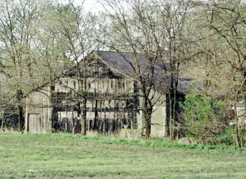
Photo 3 by Lonnie Schnauffer (May 2002).

Photo 4 by Lonnie Schnauffer (Dec. 2002).

Photo 5 by unknown.

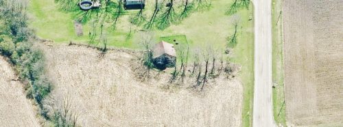
Photo 6 Bing Map's bird's eye view (ca. 2010-12).

Photo 7 Google street view (Aug. 2012).
Other Information

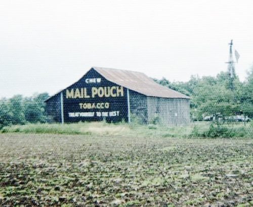
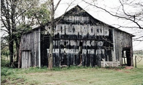
Originally noted as having a Mail Pouch sign on only one end; however, the Bing Map's Birdseye view shows a aign on the west end.
Where to find it

*GONE (razed and removed)* OH Rt. 435/OH Rt. 729/Co. Hwy 35A (old US Rt. 35) east of I-71 by about 1.25 miles. Just east of the OH Rt. 729 intersection. The barn was on the left side of the highway headed east. The MB/KC sign faced west. The Mail Pouch end faced west. Two ends.
Address
11280 OH-435
Address Line 2
Uncompahgre National Forest
City
Jeffersonville
State
OH
Zipcode
43128
Country
USA
Latitude
N 39° 36.63'
Longitude
W -83° 35.13'
lat
39.61055801
lng
-83.58556708
  • Photo 2
  • Photo 3
  • Photo 4
  • Photo 5
  • Photo 6
  • Photo 7