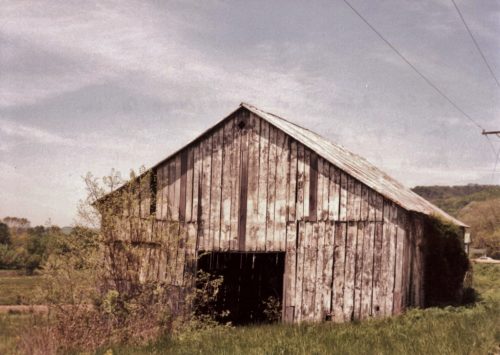
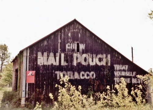
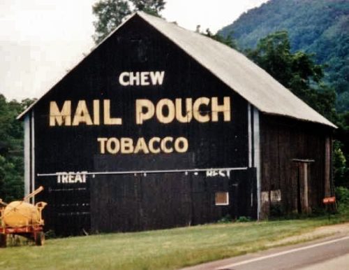
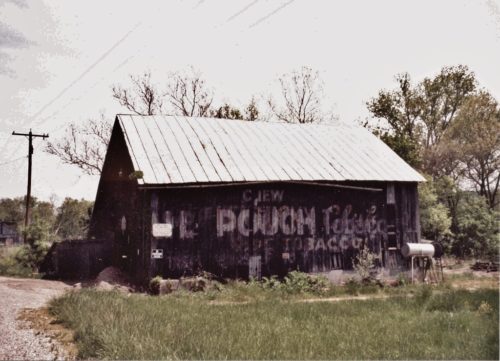
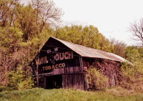
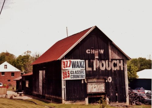
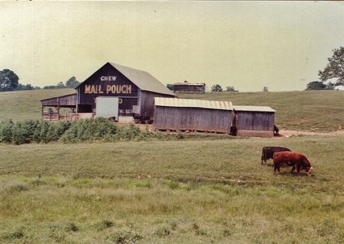
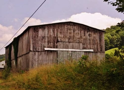
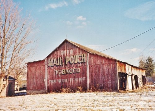
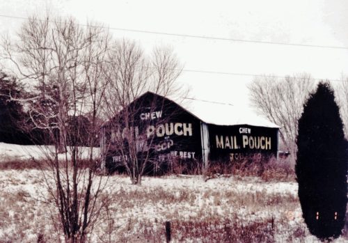
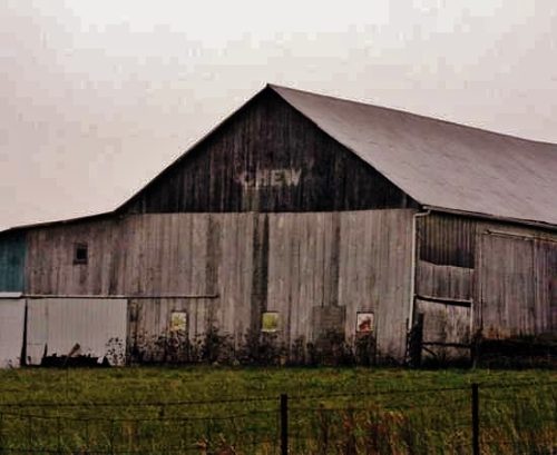
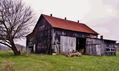
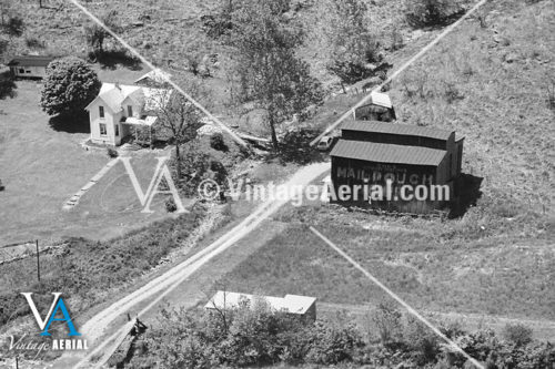
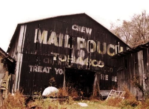
US Rt. 52 (Ohio River Scenic Byway) west of Scioto Co. line by about 7.4 miles. East of Upper Rome Rd. by about 600'. Barn is on the left side of US Rt. 52 headed west from the Scioto Co. line. Two ends. Black.
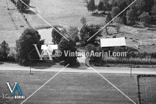
US Rt. 52 (Ohio River Scenic Byway) west of the Scioto Co. line by about 6.7 miles. East of Upper Rome Rd., in Rome, by about .75 miles. On the left side of the road headed west from the Scioto Co. line. At the intersection of US Rt. 52 and Ohio River Drive. The sign faces west. One end. Black.
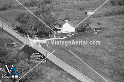
US Rt. 52 (Ohio River Scenic Byway), west of Scioto Co. line by about 9.0 miles. Barn is on the left side of US Rt. 52 headed west. The sign faces east. One end. Black.
*GONE (fallen and removed)* US Rt. 52, east of OH Rt. 135, in Manchester, by 1.8 miles. The barn was on the right side headed east. The MP sign faced west. One side. Black.
US Rt. 52, east of OH Rt. 135, in Manchester, by 1.6 miles. The barn is on the left side of the highway headed east. The MP sign faces west. One end. Black.
US Rt. 52 west of OH Rt. 136 by about 2.3 miles. On the left side of the road as you head SW. Two ends. Black.
OH Rt. 41 north of the intersection with OH Rt. 73 by about 1800'. The barn is on the left side of OH Rt. 41, headed north. The sign faces east. One end. Black.
*GONE (faded away)* On County Rt. 25 (running parallel to OH Rt. 125), west of the Scioto County line by about 6.0 miles. On the left side of the road, headed west. Two ends. Black.
OH-136 north of OH-125 by about 1.2 miles. Barn is on the left side of OH-136, headed NW. Two ends. Red backgrounds.
Old OH Rt. 32 (County Rd. 100), NW of Peebles by about 1.5 miles. The barn is on the left side of Old OH Rt. 32, headed NW. 2 ends & one side. Black.
*GONE (covered over)* OH Rt. 136 north of OH Rt. 32 by about 1.6 miles. The barn is on the right side of the road, headed north. The MP sign used to face north. One end. Black, badly faded.
On the Tri-County Rd. (County Rd. 400/County Highway 24C), Northwest of OH Rt. 136 (Main Street), in Winchester, by about 1.5 miles. Barn is on the left side of the road, headed NW. Two ends. Black, very faded.
*GONE* (razed and removed). Along OH Rt. 136 (Jack Roush Way), north from the intersection with OH Rt. 52, in Manchester, by 1.7 miles. The barn was on the left side of the highway headed north. The Mail Pouch sign, with a black background, faced east.
*GONE (razed and removed)* OH Rt. 41 (S. Main St.), in Peebles, northeast of the intersection with OH Rt. 32 by about 0.5 mile. The barn was on the left side of the highway headed northeast. The Mail Pouch sign faced southeast. One side. Black background.
*GONE (razed and removed)* OH Rt. 41 north of the intersection with OH Rt. 125, in West Union, by about 5.2 miles. The barn was on the right side of the highway headed northeast. The Mail Pouch sign faced toward the east. Black background.
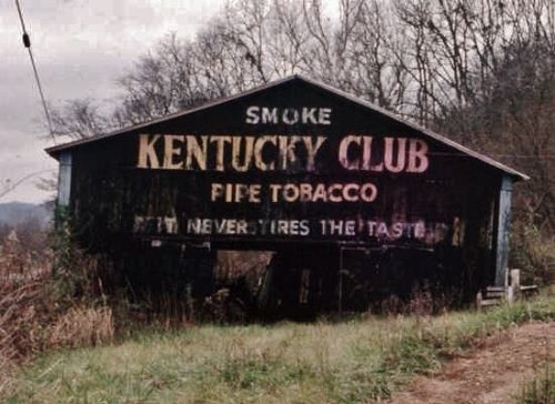
US Rt. 52 (Ohio River Scenic Byway) west of the Scioto County line by about 9.5 miles. MP sign faces west. KC sign faces east. Two ends. Black background.
US Rt. 52 (Ohio River Scenic Byway), southwest of the Scioto Co. line by about 1.0 mile. The barn is on the left side of the highway headed southwest from Scioto Co. line. Two ends. Black background.
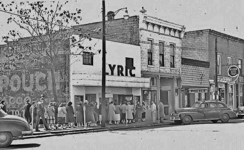
*GONE (painted over)* On US Rt. 52 (E. 2nd Street) in Winchester. Located halfway between Diamond Avenue and Pike Avenue on the left side of US Rt. 52, headed slightly SW from Diamond Avenue. The MP sign used to face NE. One side. Building remains, sign gone.
