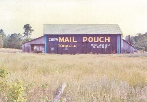
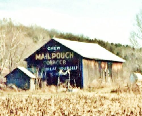
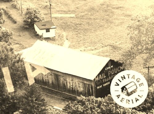
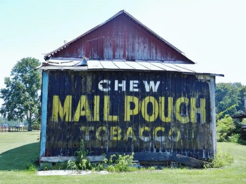
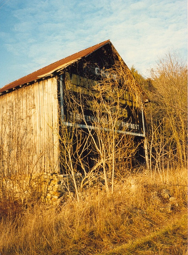
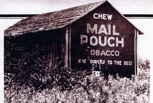
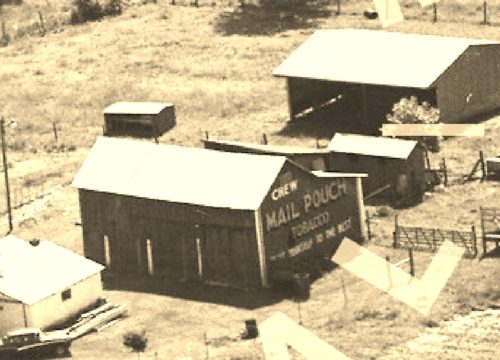
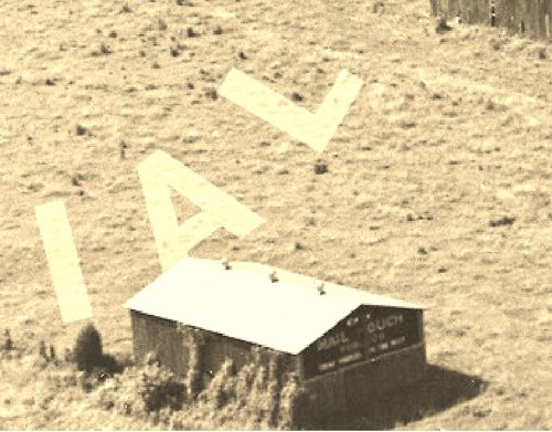
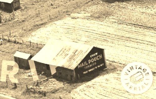
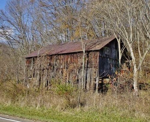
US Rt. 50 east of OH Rt. 222 by 0.2 mile. On the right side of the highway headed east. The MP sign faces north. One side. Black.
*GONE (fallen and removed)* US Rt. 50 southeast of the OH Rt. 450 intersection by 1.8 miles. Just southeast of the Wolfpen Pleasant Hill Road. The barn was on the left side of the highway headed southeast. The MP sign faced northwest. The MP sign was on the northwest end of the barn. One end. Black background.
*GONE* (razed and removed) This barn was along US Rt. 50, southeast of the OH Rt. 450 intersection by 2.0 miles. The barn was just southeast of MPB 35-13-03. The barn was on the right side of the highway headed southeast. The MP sign was on the northwest end of the barn. One end. Black background.
*GONE* US Rt. 50 west of OH Rt. 286 (Cross St.) by about 1.25 miles. The barn is on the left side of the highway headed west. The MP sign faces west. One end. Black. Just uncovered.
*GONE* This barn was noted to have been located along US Rt. 52 (Ohio River Scenic Byway). One end. Black.
*GONE* (fallen) This barn was located along Batavia-Williamsburg Pike (Old State Rte 32) west of the intersection with OH Rt. 133 (Main St.), in Williamsburg, by 1.6 miles. The barn was on the right side of the highway headed west. The MP sign was on the east end of the barn. One end. Black background.
*GONE* (razed and removed) This barn was located along OH Rt. 222 south of the Market St. intersection, in Felicity, by 0.9 mile. The barn was on the right side of the highway headed south. The MP sign was on the north end of the barn. One end. Red background.
*GONE* (razed and removed) The barn was located along US Rt 52 (Ohio River Scenic Byway) southeast of the OH Rt. 133 intersection, at Rural, by 0.3 mile. The barn was on the left side of the highway headed southeast. The MP sign was on the southeast end of the barn. One end. Black backgound.
*GONE* (razed and removed) This barn was along OH Rt. 133 south of the OH Rt. 125 (Plane St. ) intersection, in Bethel, by 2.2 miles. The barn was on the right side of the highway headed south. The MP sign was on the north end of the barn One end. Black background.
*GONE (fallen)* US Rt. 52 (Main St.), west of OH Rt. 222, in Chilo by 2.4 miles. Just northwest of the Meldahl Dam access road. The barn was on the right side headed northwest from OH Rt. 222. The MP/MC sign faced southeast. One end. Black.
