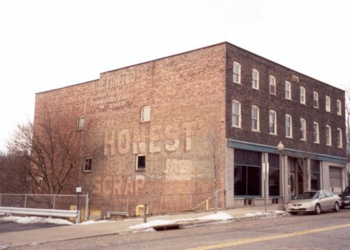
Along the southwest side of Canal St. N, northwest of the intersection with Cherry St W (OH-93), in Canal Fulton, by 500 '. The brick building is on the left side of the street headed northwest. The Honest Scrap sign faces southeast. One side of 3 story, brown brick building. Greatly faded.
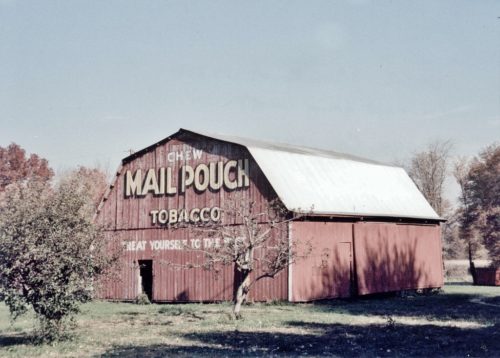
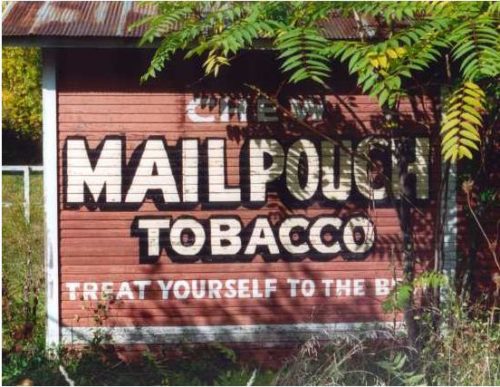
Along the northwest side of US-62 (Navarre Rd. SW), at the intersection with Stoneford Rd., northeast of the Main St. (US-250) intersection, in Wilmot by1.8 miles. The barn is on the left side of the highway headed northeast. Two ends. Red Backgrounds.
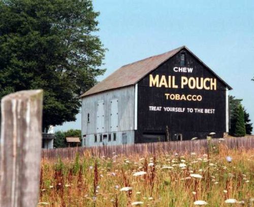
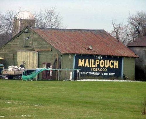
Along the northeast side of Lincoln St. SE (US-30) northwest of OH-183 (N. Market St.), in Minerva, by 2.4 miles. The barn is on the right side of the highway headed northwest. The Mail Pouch sign faces southeast. One end. Black Background.
Along the west side of Manchester Ave. NW (OH-93) north of OH-172 by 4.1 miles. The barn is on the left side of the highway headed north. The existing Mail Pouch sign faces east. The Mail Pouch sign which had been on the south end of the barn has been covered over with siding. Black backgrounds.
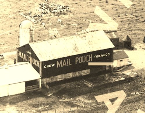
*GONE* (destroyed by fire) In Canton at a city run amusement park 'Mother Goose Land'. One side. Red.
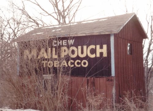
Along the west side of OH-93 north of OH-172 intersection by 1.4 miles. The barn is on the left side of the highway headed north. The Mail Pouch sign faces north. One side. Black Background.
*GONE* (razed and removed) Along the east side of Waynesburg Dr SE, just north of the intersection with OH-43, by 0.8 mile. The barn was on the right side of the road headed north. The Mail Pouch sign faced south. One side. Red Background.
*GONE* (razed and removed) Orrville St. NW. From OH-236 (1st St. NE), in Massillon, head west on Lake Ave. NW. Make right onto 3rd St. NW (Becomes Earl Rd. NW). After approximately 1000' make right onto Orrville St. NW. Travel about 0.7 mile. The barn was on the left side of the street headed northwest. The Mail Pouch sign faced north. One side. Black Background.
*GONE* (razed and removed) Along the south side of US-62/OH-173 west of the intersection with OH-183, in Alliance, by 3.1 miles. The barn was on the left side of the highway headed west out of Alliance. The Mail Pouch sign faced north. One side. Black Background.
*GONE* (razed and replaced with new building) Along the west side of Erie Ave SW (OH-21) north of the intersection with OH-212 by 1.0 mile. The barn was on the left side of the highway headed north. The Mail Pouch sign faced southeast. One end. Black Background.
*GONE* (razed and removed) Along the southwest side of Zwallen Way (OH-43) southeast of US-30 interchange, in Canton, by 5.6 miles. The barn was on the right side of OH-43 headed southeast from Canton. The Mail Pouch sign faced northeast. One end. Black Background.
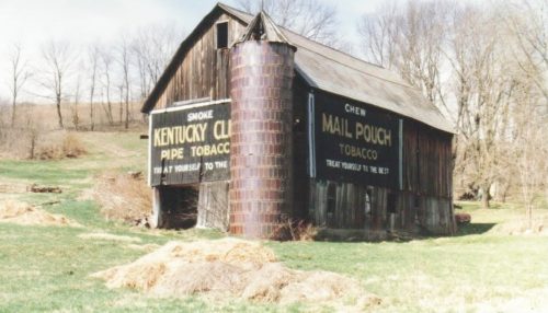
Along the southwest side of US-30 (Lincoln St. SE) southeast of Wood St. intersection, in East Canton, by 4.1 miles. The barn is on the right side of the highway headed southeast. The Mail Pouch sign faces northeast. The Kentucky Club sign faces southeast. One end (Kentucky Club). One side (Mail Pouch). Black Backgrounds.
*GONE* Canton. Downtown area. One side brick building. Unknown if building still stands; however, the MP sign is gone.
*GONE* OH-172/OH-241 (Lincoln Way) just southwest of Erie St. N. intersection, in Massillon. The building was on the left side of the highway headed northeast. The Mail Pouch sign faced southeast. One side. Brick building. Black background.
*GONE (razed in 1990 and removed)* In Canton. One side of brick building. Multi-color background.Unique sign.
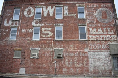
1227 Tuscarawas St W and Brown Ave NW, in Canton. The MPS/OWL sign face west. One side.
