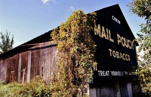
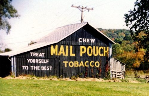
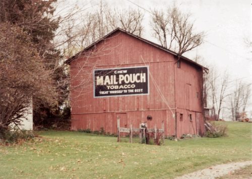
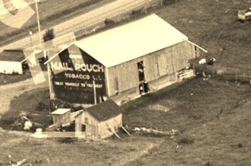
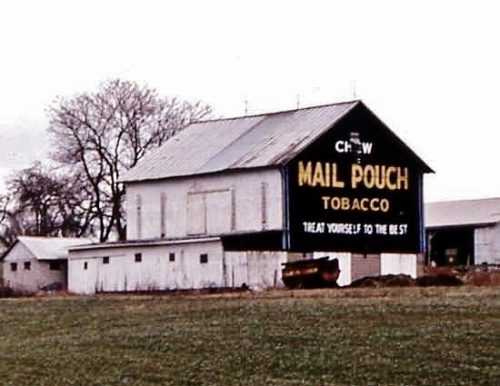
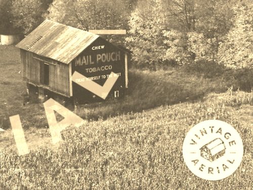
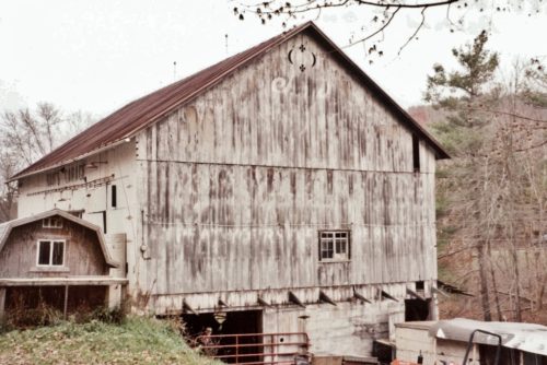
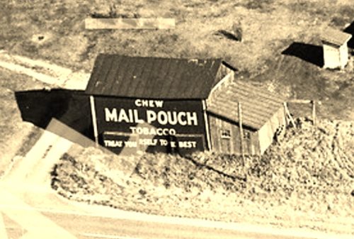
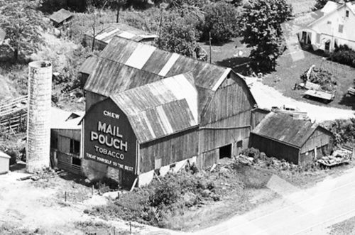
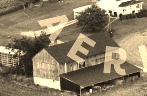
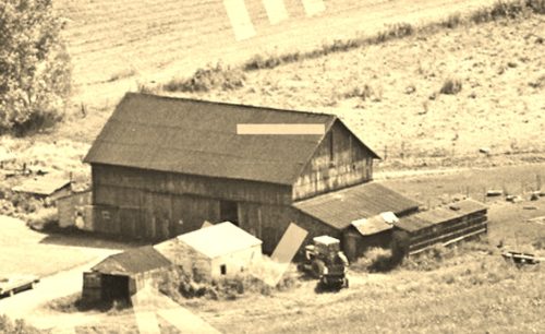
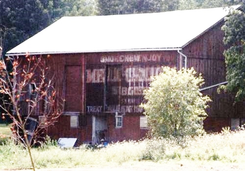
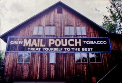
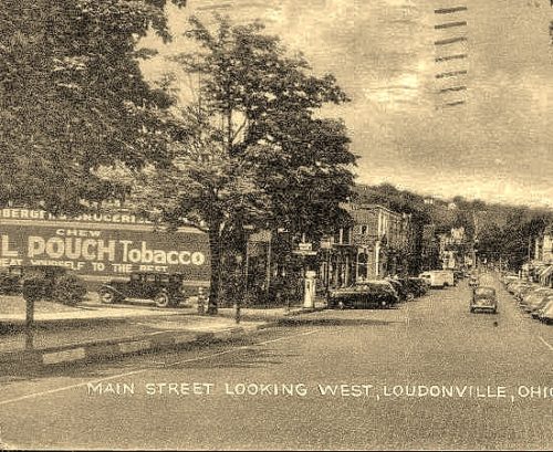
*GONE* (razed and removed) US-42 (Mansfield Road) northeast of OH-603 intersection by 1.9 miles. The barn was on the left side of the highway headed northeast from OH-603, at the northeast intersection with CH-1475. Two ends. Black Backgrounds.
OH-3 south of OH-97 by about 0.5 mile. One end. Black background. Mail Pouch sign faces southwest.
OH-179 (Main Street) east of OH-60 by about 0.5 mile. The barn is on the left side of OH-179, headed east. It sits back off the road and is very difficult to see from OH-179. The Mail Pouch sign faces south. One end. Mail Pouch sign background is black; the barn is painted a reddish brown.
*GONE (razed and removed)* OH-30A (Old US-30), east of OH-89 (High St), in Jeromesville, by 2.2 miles. The barn was on the right side of the highway headed east from Jeromesville. The Mail Pouch sign faced west. One end. Black Background.
*GONE* (razed and removed) US-250 southeast of I-71 intersection by about 1.5 miles. The barn was on the right side of the highway headed southeast. The Mail Pouch sign faced northwest. One end. Black background.
*GONE* (razed and removed) OH-58 northeast of intersection with CR-801 by about 0.4 mile. The intersection is just north of Nankin. The barn was on the left side of the highway headed northeast. The Mail Pouch sign faced northeast. One end. Black background.
*GONE* (faded away) CR-739 just off of OH-3 south of Loudonville by about 4.0 miles. The barn is on the right side of the road headed south and is visible from OH-3. The Mail Pouch sign faced south. One end. Black original background, whitewashed over.
*GONE* (razed and removed) OH-60 northeast of the OH-95 intersection, in McKay, by 0.2 mile. The barn was on the right side of the highway headed northeast. The Mail Pouch sign faced northwest. One side. Black background.
*GONE* (painted over) US-250 north of East/West Main St. intersection in Savannah, by about 2.0 miles. The barn is on the right side of the highway headed northwest. The Mail Pouch sign faced northwest. One end. Red background.
*GONE* (razed see comment 1 below) OH-30A (Old US-30), east of OH-89 (High St), in Jeromesville, by 2.0 miles. The barn was on the left side of the highway headed east from Jeromesville. The Mail Pouch sign faced west. One end. Black Background.
*GONE* (painted over) US-42 northeast of the intersection with US-250 north of Ashland, by about 8.8 miles. The barn is on the right side of the highway headed northeast. The Mail Pouch sign faced southwest. One end. Black background.
*GONE* (covered over) OH-179 (E. Main Street) east of OH-60 (Mechanic St.), in Hayesville, by 0.5 mile. The barn is in a field on the right side of the road headed east. The Mail Pouch/Melo Crown sign faced north. One side. Black Background.
Private residence along Twp Rd. 1600, southeast of Ashland. One end. On a house.
*GONE (sandblasted away)* OH-39 (W. Main Street) in Loudonville. Building is located on the SW corner of the intersection of OH-39 (W. Main Street) and Bentwood Drive. One side of a brick building which is still standing. Black Background.
