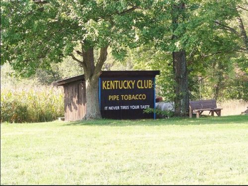
OH Rt. 171 (Waynesburg Rd. NW) east of Waynesburg by about 4.4 miles; and, east of the Stark County line by about 3.7 miles. Right side of the highway headed east. The KC sign faces north. One side. Black.
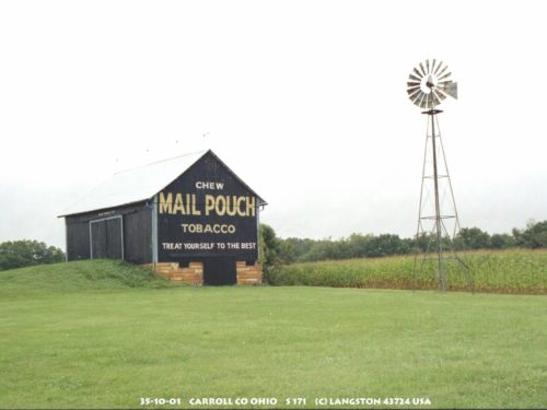
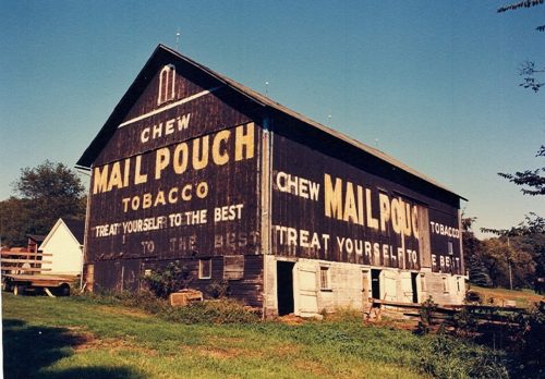
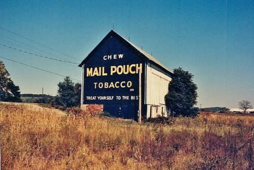
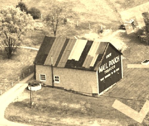
OH-171 (Waynesburg Rd. NE) east of Waynesburg by about 4.5 miles; and, east of the Stark County line by about 3.8 miles. Right side of the highway headed east. The Mail Pouch sign faces east. Two ends. Black backgrounds.
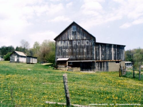
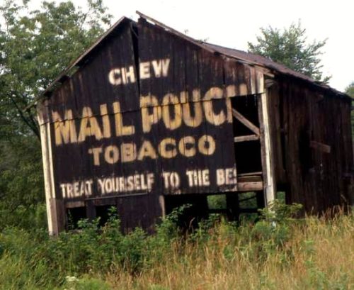
*GONE* (faded away) Along OH Rt. 9 (Kensington Rd. NE) north of the intersection with Main St., in Carrollton, by 1.7 miles. The barn is on the right side of the highway headed north. The MP sign faced west. One end. Black background.
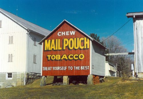
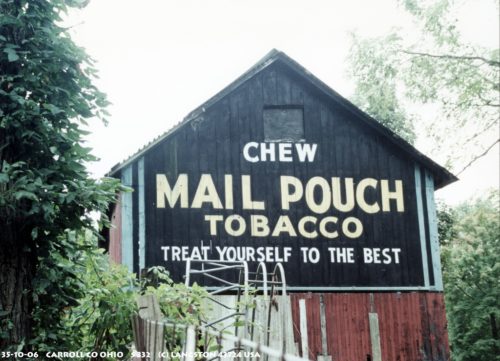
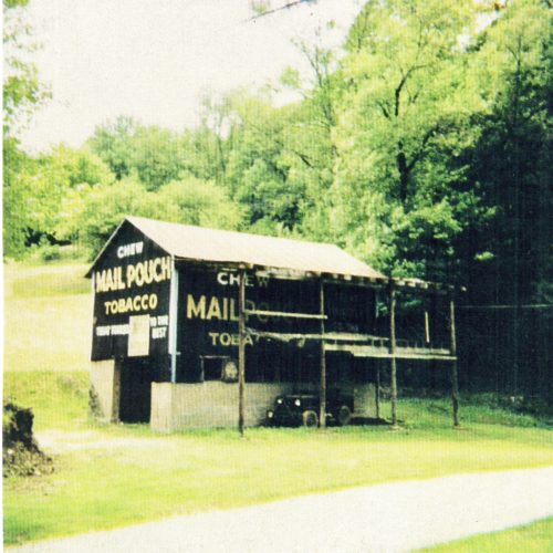
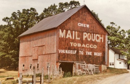
OH-332 (Scio Rd.) south of Carrollton by about 4.5 miles.At the Algonquin Mills Historical Site. One end. Red background.
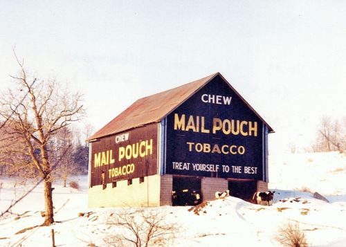
OH-332 (Scio Rd. SW). South of Carrollton by about 4.5 miles. The barn is on the right side of the highway headed south. Two ends. Black backgrounds.
Along OH-43 (Steubenville Rd SE) northwest of the intersection with Main St., in Amsterdam, by about 0.6 mile. The barn is on the left side of the highway headed northwest. Two Mail Pouch signs; North end, and east side. Black background.
OH-39 (Roswell Rd SW), south of the OH-542 intersection, in Dellroy, by about 1.5 miles. The barn is on the right side of the road headed south from Dellroy. There are two Mail Pouch signs on the barn; east end, and north side. Black backgrounds.
TH-224 (Lemon Rd NW), just off of OH-43 (Canton Rd. NW) which is south of the intersection with OH-183 by about 0.6 mile. The barn is on the left side of Lemon Rd. headed east. One Mail Pouch sign faces west and the other Mail Pouch sign faces south. One end. One side. Black backgrounds.
*GONE (painted over)* OH Rt. 39 (Salineville Rd NE) east of the OH Rt. 524 intersection, in Mechanicstown, by about 1.8 miles. The barn is just past the intersection with Niblick Rd., by about 200'. The barn is on the left side of the road headed east. The MP sign faces east. One end. Originial black background.
*GONE* (razed and removed). The barn was along OH Rt. 39 (S. Smith St) south of the intersection with OH Rt. 524, in Dellroy, by 0.2 mile. The barn was on the right side of the highway headed south. The Mail Pouch sign was on the north end of the barn. One end. Black background.
*GONE* (Covered over) OH Rt.9/OH Rt. 43 (Steubenville Rd SE) southeast of the OH Rt. 39 intersection, in Carrollton by 3.6 miles. The barn is on the right side of the road headed southeast. The MP sign faced southeast. One end. Black background.
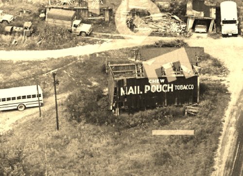
*GONE* (fallen and site cleared) OH Rt. 43 (Steubenvill Rd SE) southeast fo the intersection with OH Rt. 39, in Carrollton, by 3.1 miles. The barn is (was) on the right side of the highway headed southeast. To access the barn site, a driveway exits OH Rt. 43 onto the barn site. The Mail Pouch sign was on the northeast end of the barn. One end. Black background.
*GONE* (fallen and removed) This barn was located along OH Rt. 39 (Salineville Rd. NE) west of the intersection with OH Rt. 524, in Mechanicstown, by 0.8 mile. The Mail Pouch sign was on the west end of the barn. One end. Black blackground.
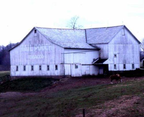
*GONE (painted over)* At 252 Waynesburg Rd. NW (OH Rt. 171) just west of the intersection of OH Rt. 43 (Canton Rd NW) and OH Rt. 171 (Waynesburg Rd NW), about 2.0 miles from Carrollton. The Mail Pouch sign was on the east end of the intersecting 'T' section facing OH. Rt. 43. One end. Original red background.
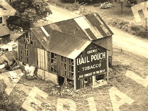
*GONE (razed and removed)* OH Rt. 43/OH Rt. 183 (Alliance Rd NW) southwest of the intersection with Plain St., in Malvern, by 2.7 miles. The barn was on the left side of th highway headed southwest. Two ends. Black backgrounds.
*GONE* (painted over) Along OH Rt. 43 (Canton Rd. NW) southeast of the intersection with OH Rt. 183, in Malvern, by 2.3 miles. The barn is on the right side of the highway headed southeast. The Mail Pouch sign faced northwest. One side. Black background.
*GONE* (razed and removed) Along OH Rt. 322 (Scio Rd.) south of the interesction with Main St., in Carrollton, by 4.1 miles. The barn was on the left side of the highway headed south. The Mail Pouch sign faced south. One end. Black background.
*GONE* (razed and removed) Thge barn was along OH Rt. 9 (Kensington Rd.) north of the intersection with OH Rt. 39 (Main St.), in Carrollton, by 4.8 miles. The barn was on the left side of the highway headed north. The Mail Pouch sign faced south. One end. Black background.
*GONE* (razed and removed) Along OH Rt. 43 (Steubenville Rd. SE) northwest of the intersection with Main St., in Amsterdam, by 3.0 miles. The barn was on the right side of the highway headed northwest. The Mail Pouch sign was on the south side of the barn. One side. Black background.,
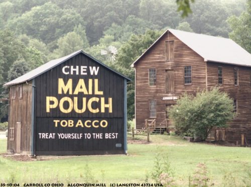
OH-332 (Scio Rd.), south of Carrollton by about 4.5 miles. At the Algonquin Mill Historical Site. One end. Black background.
