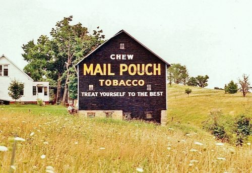
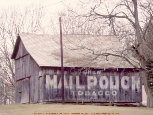
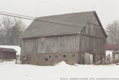
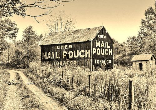
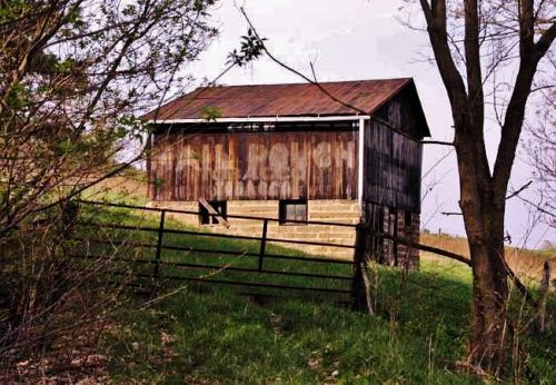
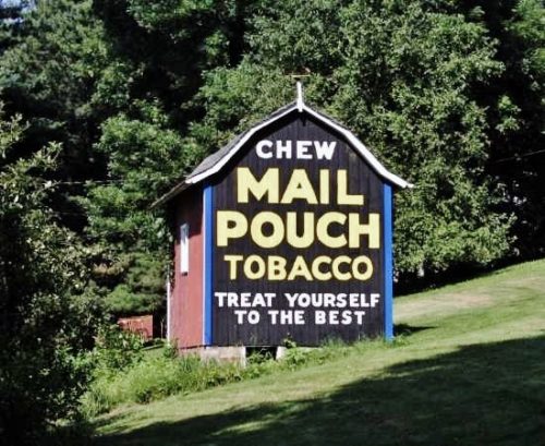
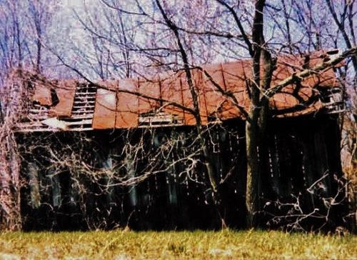
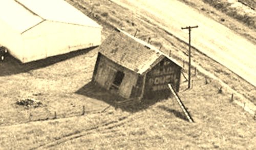
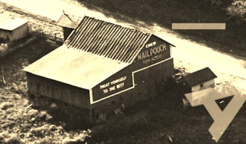
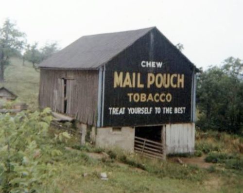
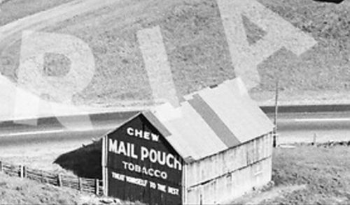
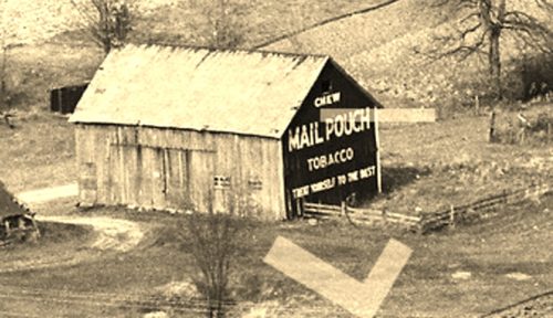
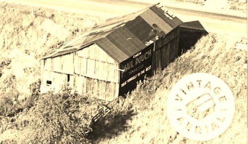
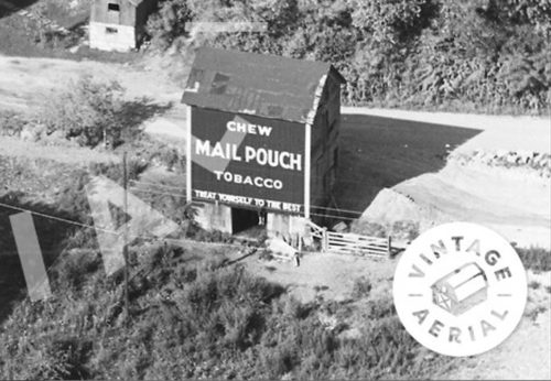
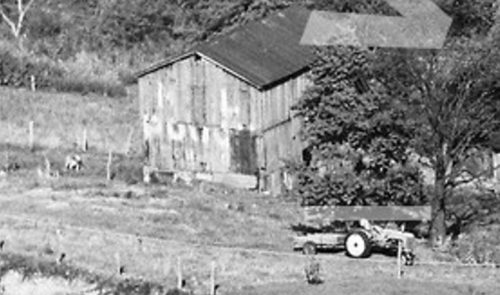
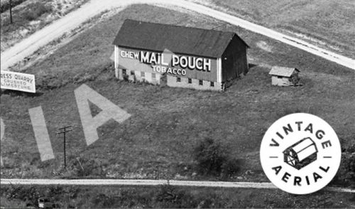
*GONE* Londonderry. One end. Black.
OH Rt. 83 (W. Rd.) south of I-70 by about 1.0 mile. South of New Concord. The building is on the right side of the road headed south. One end. One side. Greatly faded.
*GONE (painted over)* Along Co. Rd. 690 (Bridgewater Rd.) west of I-70/US Rt. 40 exit 193 by about 1.3 miles. The barn is on the right side of the road headed west. The MP sign faced east. One end. MP sign original black. Painted over in red.
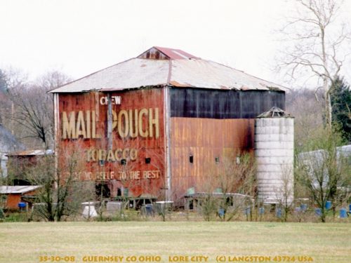
*GONE (fallen and removed)* OH Rt. 285 (Wintergreen Rd.) & OH Rt. 265 (Leatherwood Rd.) intersection, in Lore City. One side. Red.
*GONE* (fallen & removed) Along US Rt. 22 (Cadiz Rd.), southwest of I-77 by about 0.4 mile. When headed southwest on US Rt. 22, from I-77) make a left onto Bottle Ln. (Twp. Hwy. 3665). The barn was immediately on the right. The MP sign faced southwest. One end. Black.
*GONE (razed and removed)* Co. Hwy 35 (old 21 Rd.) southwest of intersection with Co. Hwy. 831 by about 400'. The barn was on the right side of the road headed southwest. Two sides. Black.
*GONE*(razed nd removed) US Rt. 22 (Cadiz Rd.) at Rock Hill Rd. (Co. Hwy. 632) west of Center by about 0.5 mile. The barn was on the right side of the road headed west. The MP sign faced west. One side. Black.
*GONE (fallen and burned)* Along US Rt. 22 (Cadiz Rd.) southwest of OH Rt. 800 by about 1.8 miles. The barn was on the left side of the road headed southwest. One end. One side. Black.
*GONE* (painted over)On Oxford Rd. (Co. Rd. 962) southwest of I-70 (exit 198) by about 0.3 mile. The barn is on the right side of the road headed southwest. One end. Two sides. Black.
Building is located at the residence of Norman Zimmerman, in Cambridge. One end. Black.
*GONE* (razed and removed) Along the southeast side of E. Pike Rd (US-40) east of the I-77 46A interchange by 3.2 miles. The barn was southwest of Peacock Rd. (old red brick US-40) by 500'. The barn was on the right side of the highway headed northeast. One Mail Pouch sign southwest end. One Mail Pouch sign northwest side. Black background.
*GONE* (razed and removed) Along the west side of Cadiz Rd (US-22) northeast of I-77 by 11.5 miles. The barn was on the left side of the highway headed northeast. Mail Pouch sign on both ends of the barn. Black background.
*GONE*(razed and removed) Along the southeast side of Cadiz Rd (US-22)southwest of OH-800 intersection by 2.1 miles. Just southwest of the Skull Fork Rd (TH-98) intersection. The barn was on the left side of the highway headed southwest from OH-800. The Mail Pouch sign faced northeast. One side. Red Background.
*GONE* (razed and removed) Along the northeast side of Bloomfield Rd (OH-209) northwest of Cambridge by about 6.1 miles. The barn was on the right side of the highway headed northwest away from Cambridge. Two ends. Black Background.
*GONE* (razed and removed) Along the southeast side of Old Twenty One Rd (TH-35) north of the intersection with Plainfield Rd, just north of North Salem, by 3.0 miles. The barn was on the right side of the Road headed north from North Salem. There was a Mail Pouch sign on each end of the barn. Black Background.
*GONE* (razed and removed) Along the northeast side of West Rd (OH-83) south of I-70 interchange 169 by 0.9 mile. The barn was on the left side of the road headed south from I-70. The Mail Pouch sign faced southeast. One end. Black Background.
*GONE* (razed and removed) Along the east side of Old Twenty One Rd (TH-35) north of the intersection with Plainfield Rd, just north of North Salem, by 2.4 miles. The location is 0.6 miles south of the former location of MPB 35-30-24. The Mail Pouch sign faced north. One side. Black Background.
*GONE* (razed and removed) Along the right side of Old Twenty One Rd (TH-35) north of Plainfeild Rd, north of North Salem by 5.6 miles. The barn was on the right side of the road headed north. The Mail Pouch sign faced west. One side. Black Background.
*GONE* (razed and removed) Along the right side of Old Twenty One Rd (TH-35) north of Plainfeild Rd, north of North Salem by 4.9 miles. The barn was on the right side of the road headed north. The Mail Pouch sign faced west. One end. Black Background.
*GONE*(razed and removed) Along the north side of US-40/US-22 east of the intersection with OH-83, in New Concord, by 1.0 mile. The barn was on the left side of a highway, on a hill in the distance, headed east out of New Concord. The Mail Pouch sign faced south. One side. Red Background.
