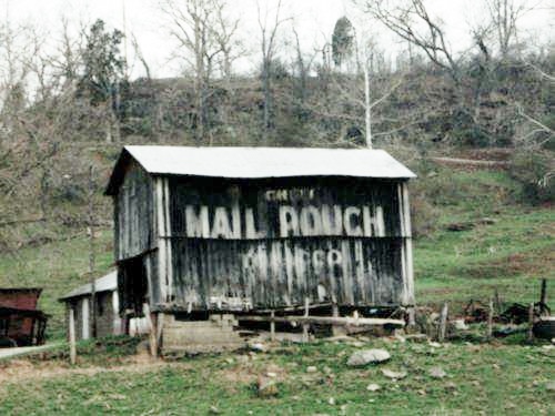
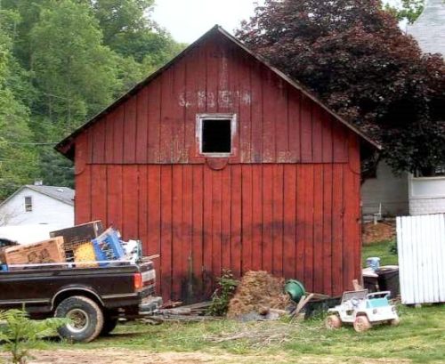
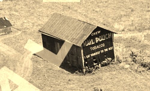
*GONE* (razed and removed) Along the east side of OH-7 (N. Main St.) south of OH-681, in Tuppers Plains, by about 1.5 miles. The barn was on the left side of the highway headed south.The Melo Crown sign faced south and it was very difficult to make out the 'Melo Crown' wording. One end. Black Background.
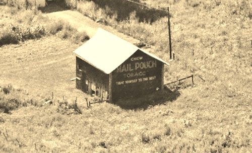
*GONE* (razed and removed) OH Rt. 7 northeast of US Rt. 33 by about 2.5 miles. The barn was on the right side of the highway headed northeast. The MP sign faced north. One end. Black.
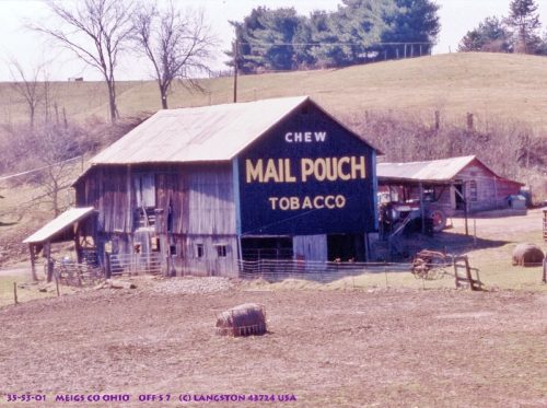
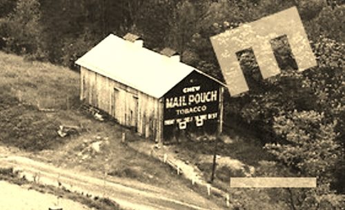
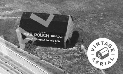
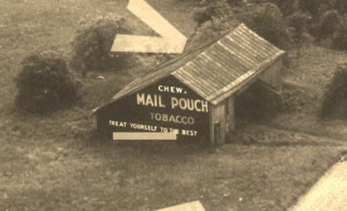
*GONE* (razed and removed) Along the east side of OH-7 north of US-33 intersection by 5.0 miles. The barn was on the right side of the highway headed north from US-33. The Mail Pouch barn faced south. One side. Black Background.
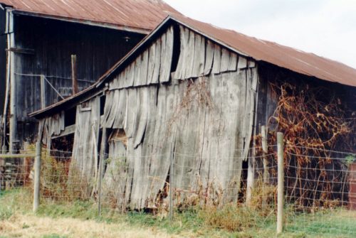
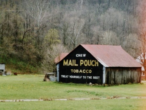
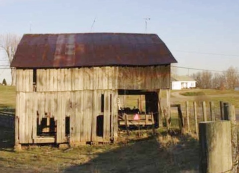
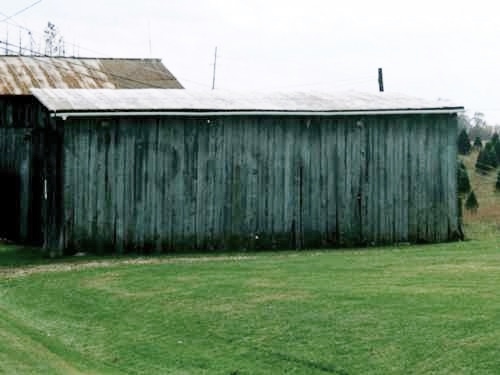
OH-7 (N. Main St.), south of OH-681, in Tuppers Plains, by about 1.5 miles. The barn is on the left side of the highway headed south. Two ends. Black. Very poor condition.
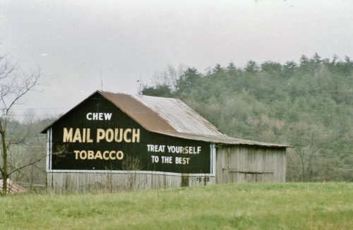
*GONE* (razed and removed) Along the west side of OH-124 east of the OH-160 intersection, in Wilksville, by 7.2 miles. The barn was on the right side of the highway headed east away from OH-160. The Mail Pouch sign faced south. One end. Black. Background.
*GONE* (razed and removed) Along the west side of OH-124/OH-833 north of the OH-124/OH-833 merge north at E. Main St., (east of Pomeroy) by 0.8 mile. The barn is on the left side of the highway headed north just passed Enterprise Rd. The Mail Pouch sign faced northeast. One end. Original Black Background.
*GONE* (razed and removed - a modular home now in the location) Along the northwest side of HO-7 southwest of the OH-681 intersection, in Tuppers Plains, by 3.0 miles. The barn wqs on the right side of the highway headed south from Tuppers Plains. The Mail Pouch sign faced almost due east. One end. Black Background.
*GONE* (razed and removed) Along the southeast side of OH-7, south of the OH-681 intersection, in Tuppers Plains, by 2.8 miles. The barn was on the left side of the highway headed southwest from Tuppers Plains. The Mail Pouch sign faced southwest. One end. Black Background.
*GONE* (razed and removed by the early 1970's) Along the northwest side of OH-7, northeast of the US-33 intersection by 0.3 miles. The barn was on the left side of the highway headed northeast from US-33. The Mail Pouch sign faced east. One side. Black Background.
*GONE* (razed and removed) Along the west side of Rockspring Rd (CH-20) north of the intersection with Fairgrounds Rd, at the Meigs County Fair Grounds, by 2.7 miles. The barn was on the left side of the road headed north from the Fair Grounds. The Mail Pouch sign faced east. One end. Black Background.
*GONE* (razed and removed) Along the northwest side of OH-7 south of OH-681 intersection, in Tuppers Plains, by 4.6 miles. The barn was on the right side of the highway headed southwest. The Mail Pouch sign faced northeast. One end. Black Background.
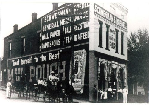
*GONE (razed and removed)* Northeast corner of the E. Main St. (OH Rt. 833) & Nye Ave. intersection, in Pomeroy. The Mail Pouch sign faced west. One side. Black background.
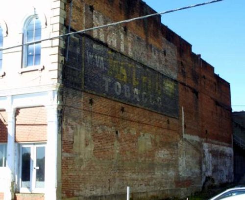
OH Rt. 833 (W. Main St.) in Pomeroy. On the right side of the street headed southwest through Pomeroy. MPS/BAP sign faces northeast. One side of a brick building. Black with brown brick bleed through. Greatly faded.
*GONE* (faded away) old Seven Rd., just south of OH Rt. 7, south of OH Rt. 681 by about 2.3 miles. The barn is on the right side of the road headed south. One side. Red Man Tobacco sign faced south. Unknown Background color.
*GONE* (razed and removed) old Seven Rd., just south of OH Rt. 7, south of OH Rt. 681, in Tuppers Plains, by about 2.3 miles. The barn was on the left side of old Seven Rd. headed south. One side. Back Gound color unknown.
