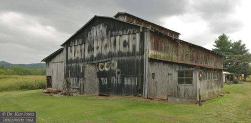
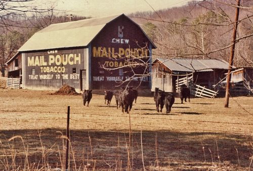
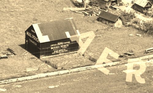
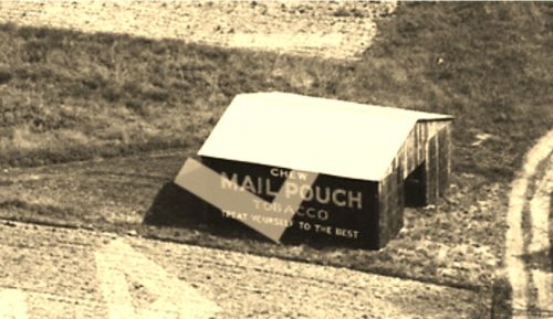
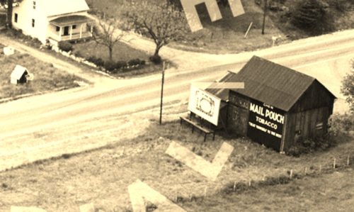
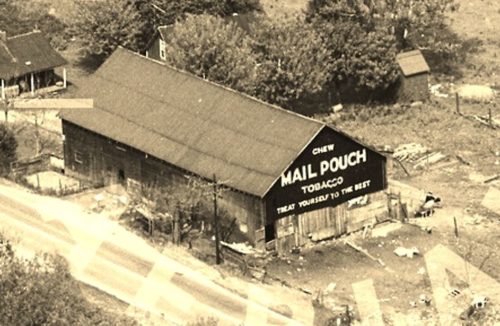
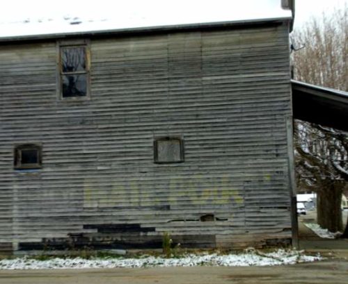
Along the southeast side of US-52 southwest of OH-125, in Friendship, by 6.8 miles. The barn is on the left side of the highway headed southwest from Friendship. Two ends. Black Backgrounds. The Mail Pouch sign facing east is faded; however, the Mail Pouch sign facing west is greatly faded.
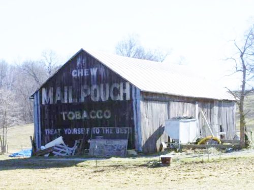
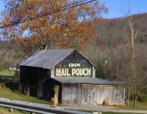
Along the southeast side of OH-140 northeast of US-52 by 6.4 miles. The barn is on the right side of the highway headed northeast. The barn is directly across from TH-419 (Station Rd.) intersection with OH-140. The Mail Pouch sign faces north. One end. Black Background.
*GONE* (painted over) Along the southwest side of OH-73 west of OH-104 by 3.3 miles. The barn is on the left side of the highway headed west. The Mail Pouch sign faced southeast. One end. Black Background.
Along the northwest side of OH-73 west of OH-104 by 4.1 miles. The barn is on the right side of the highway headed west, at the intersection with TH-470 (Jacquay's Run Rd.). Mail Pouch sign on the southwest side; and, Mail Pouch sign on the southeast end. Black Backgrounds.
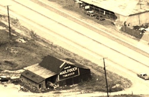
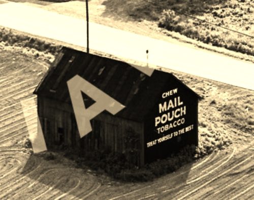
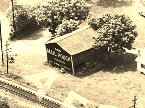
*GONE* (razed and removed) The barn was along the northwest side of US-52 (Ohio River Scenic Byway) northeast of the intersection with OH-125 just south of Friendship, by 3.6 miles. the barn was on the left side of the highway headed northeast. The Mail Pouch sign faced southwest. One end. Black Background.
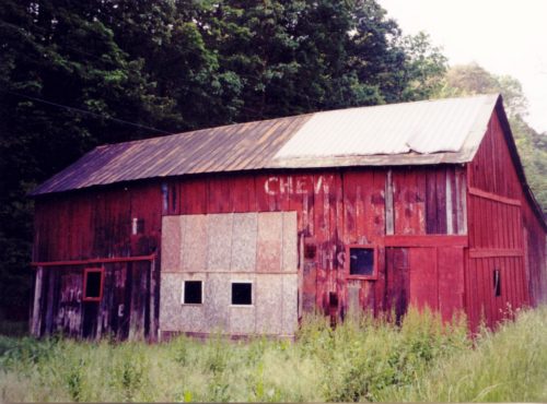
Along the east side of OH-139 north of US-52 by abut 4.2 miles. The barn is on the right side of the highway headed north. The Mail Pouch sign faces north. One side. Black Background. Greatly faded.
*GONE* (razed and removed) The barn was along the east side of OH-139, north of the intersection with US-52 (Ohio River Scenic Byway), in New Boston, by 6.6 miles. The barn was on the right side of the highway headed north. The Mail Pouch sign faced north. Black background.
*GONE* (razed and removed) The barn was along the east side of OH-73 southeast of the intersection with OH-348, in Otway, by 0.6 mile. The barn was on the left side of the highway headed south. The Mail Pouch sign faced north. One side. Black Background.
*GONE* (razed and removed) The barn was along the east side of OH-73 (on the current site of Brown Bros. Lumber Co.), north of OH-248 (Walnut St.) intersection in, in Otway, by 1.6 miles. The barn was on the right side of the highway headed north. The Mail Pouch sign faced south. One end. Black Background.
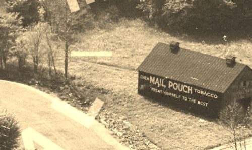
*GONE* (razed and removed). This barn was along the north side of OH-73 southeast of the OH-772 (High St.) intersection, in Rarden, by 1.2 miles. The barn was on the left side of the highway headed southeast from Rarden. The Mail Pouch sign faced southwest. One side. Black Background.
*GONE* (razed and removed) This barn was along the southeast side of US-52 (Ohio River Scenic Byway) northeast of the intersection with OH-125, in Friendship, by 0.7 mile. The barn was on the right side of the highway headed northeast from Friendship. The Mail Pouch sign was on the southwest side of the barn. One side (assumed. Could have been 2 sides). Black Background.
*GONE* (razed and removed) The barn was located along the southeast side of US-52 (Ohio River Scenic Byway) southwest of OH-125, in Friendship, by 2.5 miles. The barn was on the left side of the highway headed southwest from Friendship. The Mail Pouch sign faced southwest. One end. Black Background.
*GONE* (razed and removed - along with the house and small shed). The barn was along the south side of OH-73 south of the intersection with OH-348. in Otway, by 1.9 miles. The barn was on the right side of the highway headed south from Otway. The Mail Pouch sign faced north. One end. Black Background.
*GONE* (fallen) Along the northeast side of OH-125 northwest of US-52, in Friendship, by 3.2 miles. Two ends. There was a Mail Pouch sign with very faint Melo Crown sign on the southeast end of the barn; and, a Mail Pouch sign on the northwest end of the barn. Black Backgrounds.
*GONE* (razed and removed) Along the northeast side of OH-73, at the northeast corner of OH-73 & Market St. in Rarden. One side. Wood two story building. Mail Pouch sign faced northwest. Black Background.
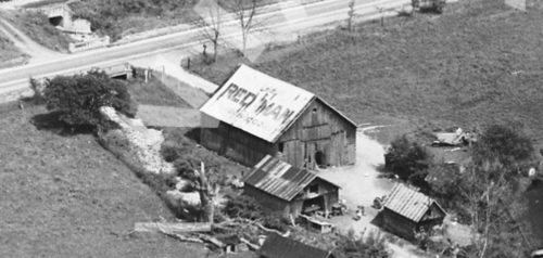
*GONE* (roof has been replaced) Along the east side of OH-73 (on the Brown Bros Lumber Co. property) north of OH-348 (Walnut St.), in Otway, by 1.7 miles. The barn is on the right side of the highway headed north. The Red Man Tobacco signs faced north and south. Unique sign painted on the roof of the barn. Yellow Background.
