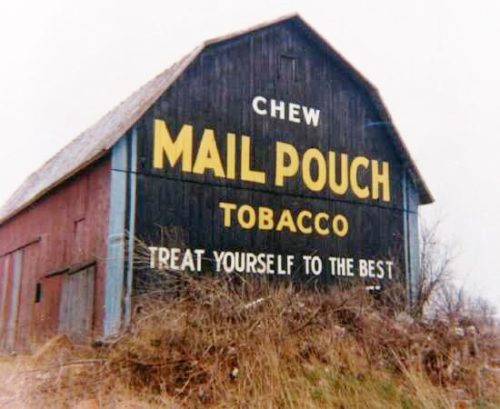
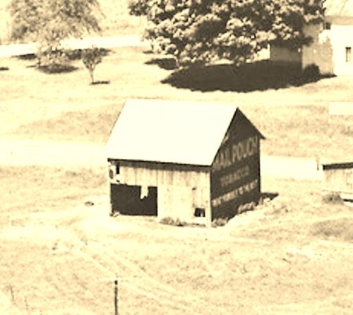
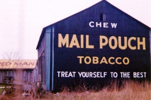
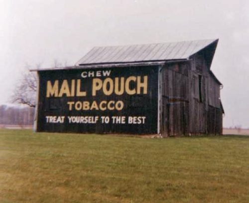
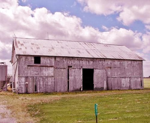
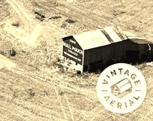
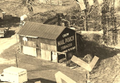
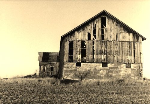
*GONE* (fallen) Along the south side of OH-293 (Lincoln Hwy.) west of the N. Warpole St. intersection, in Upper Sandusky, by 7.2 miles. The barn was on the left side of the highway headed west from Upper Sandusky. Two ends. Black backgrounds.
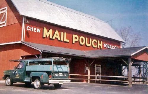
The Steer Restaurant, in Upper Sandusky. US-30 west of US-23 by-pass by about 1.0 mile. The restaurant is on the right side of the highway headed west. The Mail Pouch sign faces east. One side. Red background.
*GONE* (faded away) OH-67 just past the intersection with Co. Rt. 16. The barn is on the right side of the highway headed northeast. Mail Pouch sign on the northwest side; and, Mail Pouch sign on the norhteast end.
*GONE (dismantled)* US-30 (Old Lincoln Hwy.) east of OH-231 by about 0.5 mile. The barn was on the left side of the highway headed east. The Mail Pouch sign faced east. One end. Black background.
*GONE* (razed and removed) Along the north side of CH-330 (old US-30) east of OH-37 by 1.9 miles. The barn was on the left side of the highway headed east from OH-37. The Mail Pouch sign faced south. One side. Black background.
*GONE* (faded away maybe painted over) Along the south side of CH-330 (old US-30) west of the US Rt. 30 intersection by 2.1 miles. The barn is on the left side of the highway headed west. The Mail Pouch sign faced north. One side. Original black background.
*GONE* (razed and removed) Along the west side of OH-37 southeast of the Mary St. intersection, in Forest, by 3.3 miles. The barn was on the right side of the highway headed south. The Mail Pouch sign faced southeast. One end. Black background.
*GONE* (razed and removed) Along the northwest side of OH-67 (Tarhe Trail) northeast of the intersection with OH-53 by 3.8 miles. The barn was on the left side of the highway headed northeast from OH-53. The Mail Pouch sign faced northeast. One end. Black background.
Upper Sandusky. Ohio area. One end. Black background.
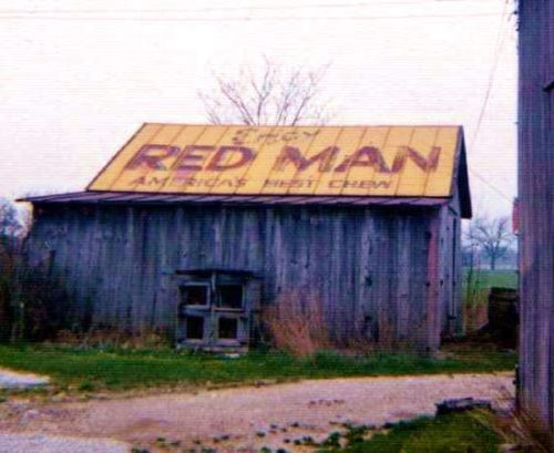
*GONE* US Rt. 30 (Old Lincoln Hwy.) east of OH Rt. 231 by about 0.5 mile. The barn was on the right side of the highway headed west. Roof. Yellow background.
