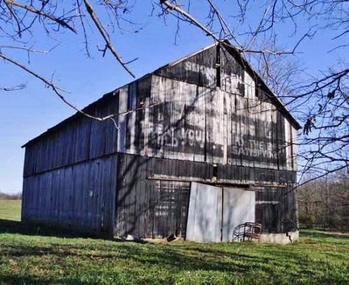
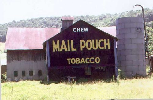
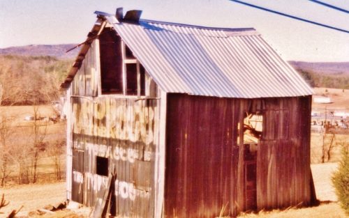
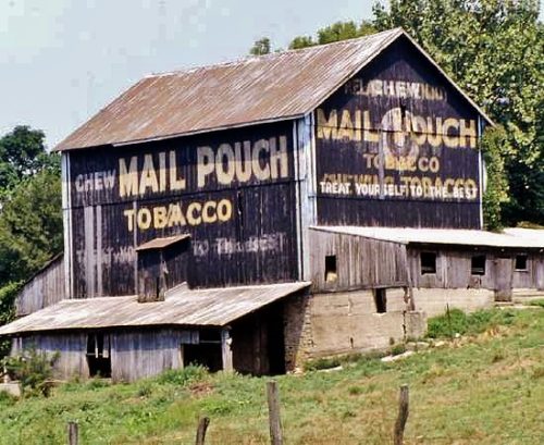
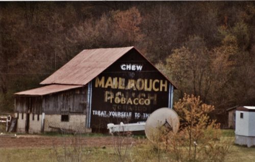
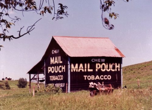
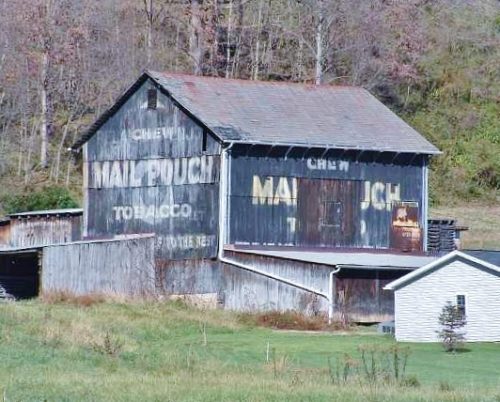
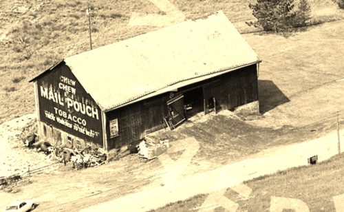
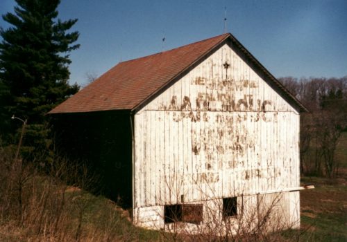
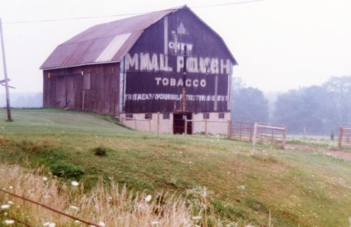
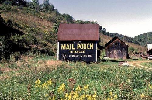
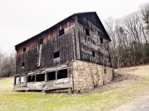
*PARTIAL GONE* (East end painted over) US Rt. 50 est of Rainsboro by about 1.5 miles. The barn is on the right side of the highway headed east. Two ends (east and west). One side (south). Black. Greatly faded.
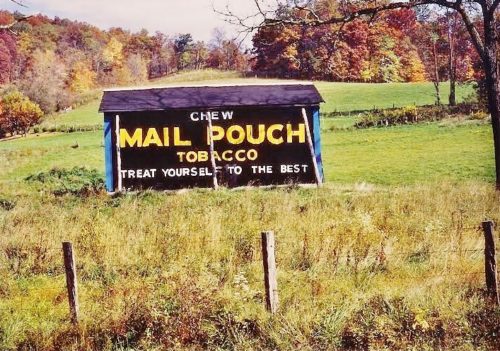
PA-281 (Kingwood Drive), northeast of PA-281 (Casselman St.)/PA-523 (Oden St.) intersection, in Confluence, by about 3.1 miles. The barn is on the right side of the highway headed northeast. Two ends. Black backgrounds.
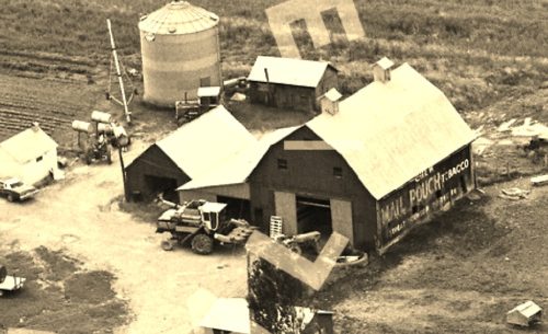
*GONE (fallen)* Along the southeast side of Northwestern Pike (US-50/WV-28) northeast of US-220 intersection by about 3.0 miles. The barn was on the right side of the highway headed northeast. Two ends. Black backgrounds.
OH Rt. 128 (Hamilton Cleves Pike Rd.) west of I-74/I-275/US Rt. 52 by about 2.5 miles. Take exit 7 to OH Rt. 128 (Hamilton Cleves Pike Rd.) and head west. The barn is on the right side of the road headed west. Two ends. One side. Black.
OH Rt. 26, south of OH Rt. 800 by about 1.4 miles. The barn is on the right side of the highway headed south. Two ends and one side. Black.
US Rt. 219/WV Rt. 55 south of US Rt. 250 by about 9.8 miles. The barn is on the left side of the highway headed south. Two ends. One side. black.
Old US Rt. 33 (Pomeroy Rd.) south of US Rt. 50 by about 8.7 miles. Head south on Old US Rt. 33 to Rankin Rd. Turn right onto Rankin Rd. The barn is on the left side of Rankin Rd. about 500' from old US Rt,. 33. The MP sign faces east. One end. Black.
*GONE* (razed and removed) US Rt. 62 south of OH Rt. 32 by about 0.4 mile. Address is 11791 Hwy. 62, Macon. The barn was on the right side of the highway headed south. The MP/WOW signage faced north. One side. Original black background.
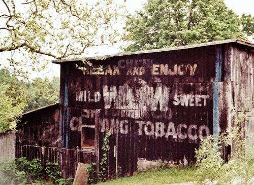
*GONE*(fallen) Along the east side of OH Rt. 41 south of Water St. (OH124), in Sinking Spring, by 0.4 mile. The barn was just north of the Adams Co. line. The barn was on the right side of the highway headed north from Adams County. The MPB/WOW sign faced north. One side. Black Background.
OH Rt. 800, southeast of OH Rt. 145, in Malaga, by about 0.3 mile. The barn is on the right side of the highway headed southeast. Two ends and One side. Black.
OH Rt. 821 (Cambridge Rd.), north of I-77, exit 6, by about 2.3 miles. The barn is on the left side of the highway headed northeast. One end (Mail Pouch & WOW). One side Mail Pouch. Black. Greatly faded.
*GONE* (razed and removed) Along the southwest side of County Line Rd., north of US-422 (Benjamin Franklin Hwy.) by about 0.3 miles. The barn was on the left side of the road headed northwest from US-422. The MP/WOW sign faced southeast. One end. Black background.
Along the northeast side of N. Pike Road (PA-356), northwest of Neupert Rd./Marwood Rd. intersection, in Hannastown, by 1.9 miles. The barn is on the right side of the highway headed northwest. The MP/WOW sign faces southeast. One end. Painted over with white paint; however, the MP/WOW sign is bleeding through, but very difficult to read.
*GONE* (faded away) Along the east side of Grove City Rd. (PA-163) north of PA-108 (Franklin Rd.), in Slippery Rock by about 3.0 miles. The barn sits on the right side while driving north. The sign faces southwest. Painted over with red, but signs are bleeding through. One end. Black background.
*GONE* US Rt. 219 (Theatre Rd.) northwest of Carroll St., in Carrolltown, by 3.6 miles. The barn was on the ridge along the east side of US Rt. 219. The Mail Pouch sign which faced west was visible from US Rt. 219. One side. Black background.
Along the northwest side of PA-150 (N. Eagle Valley Rd.), southwest of State Rt. 1002 (Beech St.) by 0.3 miles. The barn is on the right side of the highway headed southwest. The MP/WOW signs face southeast. One end. Black background.
On Old US Rt. 220 (S. Eagle Valley Road), north of PA Rt. 350 by 3.7 miles, on left side headed northeast. Sign faces northeast. Sits back off of road a ways. One end. Black.
*GONE (razed and removed)* Along the east side of PA-98 north of the US-322/US-19 intersection (west of Meadville) by about 9.2 miles. The barn was on the east side of the highway. The Mail Pouch end of the barn faced south. The Mail Pouch/WOW end of the barn faced north. Black backgrounds.
*GONE* (razed and removed) PA Rt. 18 (Golden Oaks Rd.) southwest of PA Rt. 21 (Roy Furman Hwy.) by about 10.5 miles. The barn was built over a small creek. The barn was on the right side of the highway headed southwest. One end. One side. Black.
PA Rt. 35 northeast of PA Rt. 850 intersection, in Reeds Gap by about 2.6 miles. The barn is on the right side of the highway headed northeast. The Mail Pouch sign faces southwest. Greatly faded. Black background.
