- [01] Adams Co, OH (18)
- [02] Allen Co, OH (2)
- [03] Ashland Co, OH (14)
- [04] Ashtabula Co, OH (11)
- [05] Athens Co, OH (20)
- [06] Auglaize Co, OH (5)
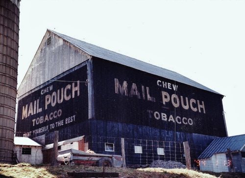
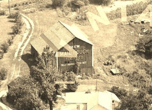
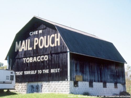
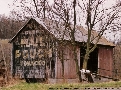
- [07] Belmont Co, OH (24)
- [08] Brown Co, OH (32)
- [09] Butler Co, OH (8)
- [10] Carroll Co, OH (22)
- [11] Champaign Co, OH (9)
- [12] Clark Co, OH (3)
- [13] Clermont Co, OH (10)
- [14] Clinton Co, OH (4)
- [15] Columbiana Co, OH (20)
- [16] Coshocton Co, OH (14)
- [17] Crawford Co, OH (13)
- [18] Cuyahoga Co, OH (15)
- [19] Darke Co, OH (8)
- [20] Defiance Co, OH (7)
- [21] Delaware Co, OH (10)
- [22] Erie Co, OH (4)
- [23] Fairfield Co, OH (9)
- [24] Fayette Co, OH (3)
- [25] Franklin Co, OH (12)
- [26] Fulton Co, OH (4)
- [27] Gallia Co, OH (9)
- [28] Geauga Co, OH (10)
- [29] Greene Co, OH (1)
- [30] Guernsey Co, OH (34)
- [31] Hamilton Co, OH (7)
- [32] Hancock Co, OH (5)
- [33] Hardin Co, OH (5)
- [34] Harrison Co, OH (15)
- [35] Henry Co, OH (4)
- [36] Highland Co, OH (15)
- [37] Hocking Co, OH (7)
- [38] Holmes Co, OH (12)
- [39] Huron Co, OH (15)
- [40] Jackson Co, OH (8)
- [41] Jefferson Co, OH (11)
- [42] Knox Co, OH (13)
- [43] Lake Co, OH (2)
- [44] Lawrence Co, OH (9)
- [45] Licking Co, OH (17)
- [46] Logan Co, OH (5)
- [47] Lorain Co, OH (13)
- [48] Lucas Co, OH (5)
- [49] Madison Co, OH (6)
- [50] Mahoning Co, OH (13)
- [51] Marion Co, OH (5)
- [52] Medina Co, OH (9)
- [53] Meigs Co, OH (15)
- [54] Mercer Co, OH (3)
- [55] Miami Co, OH (4)
- [56] Monroe Co, OH (28)
- [57] Montgomery Co, OH (11)
- [58] Morgan Co, OH (20)
- [59] Morrow Co, OH (9)
- [60] Muskingum Co, OH (24)
- [61] Noble Co, OH (15)
- [62] Ottawa Co, OH (8)
- [63] Paulding Co, OH (6)
- [64] Perry Co, OH (8)
- [65] Pickaway Co, OH (7)
- [66] Pike Co, OH (9)
- [67] Portage Co, OH (8)
- [68] Preble Co, OH (9)
- [69] Putnam Co, OH (9)
- [70] Richland Co, OH (11)
- [71] Ross Co, OH (7)
- [72] Sandusky Co, OH (8)
- [73] Scioto Co, OH (16)
- [74] Seneca Co, OH (16)
- [75] Shelby Co, OH (5)
- [76] Stark Co, OH (16)
- [77] Summit Co, OH (5)
- [78] Trumbull Co, OH (3)
- [79] Tuscarawas Co, OH (15)
- [80] Union Co, OH (9)
- [81] Van Wert Co, OH (5)
- [82] Vinton Co, OH (9)
- [83] Warren Co, OH (3)
- [84] Washington Co, OH (34)
- [85] Wayne Co, OH (20)
- [86] Williams Co, OH (4)
- [87] Wood Co, OH (5)
- [88] Wyandot Co, OH (10)
*GONE (razed and removed)* OH Rt. 196 north of the OH Rt. 67 intersection, in Waynesfield, by about 2.8 miles. The barn was on the left side of the highway headed north from Waynesfield. The Mail Pouch sign faced east. One end. Black Background.
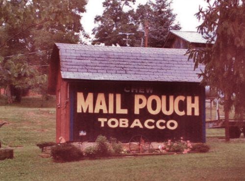
Along the west side of OH-66 north of the E. 4th St. intersection, in Minster, by 1.6 miles. The barn is on the left side of the highway headed north from Minster. The barn is behind a residence and difficult to see from the highway. One side. Greatly faded. Black Background.
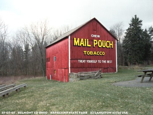
*GONE (razed and removed)*OH Rt. 149 (Belmont Morristown Road) south of I-70 by about 1.0 mile, near the entrance to Barkcamp State Park. The barn was located along the left side of OH Rt. 149 headed south. Two ends. Red.
OH-147, in Barnsville, east of OH-800 by about 1.0 mile. One end and one side. Red backgrounds.
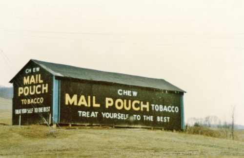
*GONE (painted over)* Sandy Ridge Rd. (C Rt 102) southeast of OH Rt. 147 (E. Main St.), in Barnsville, by about 1.6 miles. (within town limits Sandy Ridge Rd becomes Shamrock Dr.) The building is on the right side of the road headed southeast. The Mail Pouch sign faced northeast. One side. Black background.
*GONE* OH Rt. 147 (Barnsville Bethesda Rd.) west of N. Main St, in Bethesda, by about 0.5 mile. The barn is on the left side of the road headed southwest. The MP sign faces north. One end. Black.
*GONE (blown down during a storm)*OH Rt. 148 west of OH Rt. 7 by 0.3 mile. One end and One side. Black.
*GONE* OH Rt. 149 (Belmont Warnock Road) east of OH Rt. 147 by about 2.1 miles. One side. Black.
Barkcamp State Park. One end. Red.
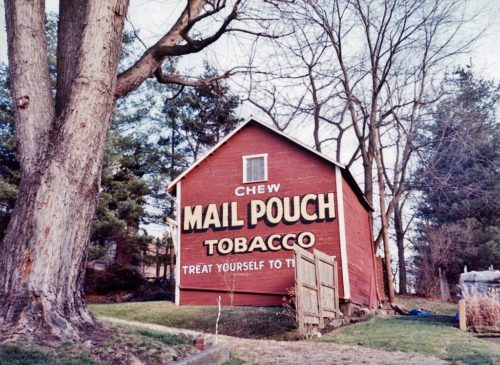
S. Lincoln Avenue south of OH-147 (E. Main St.) by about 500 ft., in Barnsville. Barn is on the left side of S. Lincoln Ave. headed south. One end. Red background.
OH-9 north of US-40 National Road/W. Main St.), in St. Clairsville, by about 0.8 mile. The barn is on the left side of the highway headed northwest.One side (faces northeast) and one end (faces southeast). Black backgrounds.
*GONE* (razed and removed) The barn was long Bellaire High Ridge Rd (Co Rd 214) southeast of the intersecition with US Rt.4 (near I-70) by about 2.8 miles. The barn was on the left side of the Road headed south. The Mail Pouch sign faced south. Red background.
*Possibly GONE (sided over)* At the OH Rt. 148/OH Rt. 145 intersection. One end. Black original, now gray siding.
OH-800 (Sewellsville Rd.) west of I-70 by about 1.5 miles. One end. Black background. Greatly faded.
*GONE (razed and removed)* OH Rt. 800 (Somerton Hwy.) south of Barnsville by about 4.5 miles. Just south of Twp. Hwy. 29 on right side headed south. One side. Red background.
*GONE* Along the south side of Co Rd 114 (Fairview Rd) at the I-70 exit for Fairview. One end. Black. Greatly faded.
*GONE* (razed and removed) Along the north bank of McMahon Creek. At the time of the photo there was street access to the site; however, the entire area has been cleared. The Mail Pouch sign faced west. It is possible there was a Mail Pouch sign on the east side of the building. Black background
*GONE* (razed and removed. The old farm house that is in photos 1-6 has been razed and replaced with a modular home). Along Somerton Hwy (OH-800) south of the intersection with OH Rt. 147 (W Pike St), in Barnesville, by about 3.2 miles. The barn was on the left side of the highway headed south. The Mail Pouch sign faced south. One side. Black background.
*GONE* Was near I-70. One side. Two roof. Black.
US Rt. 250 (Sunset Heights) Northwest of I-70 by about 3.0 miles. On right side headed northwest. Two side. Black. Greatly faded.


