Other Information
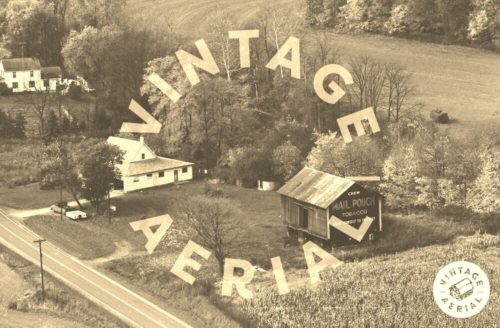
Photo 3 shows the opposite end of the barn.
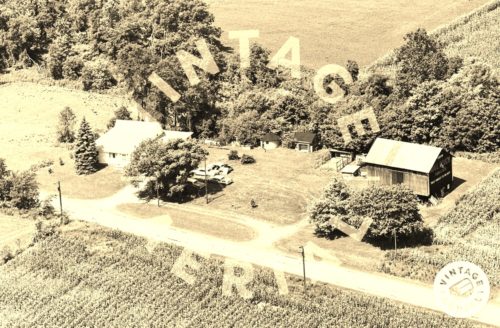
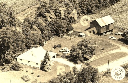
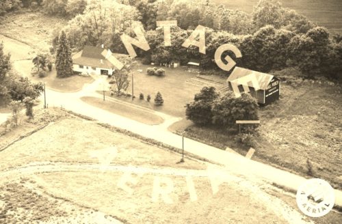
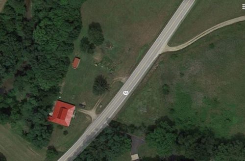
Photo 6 Google satellite image is provided for coordination. The house with the unique roof style is visible in Photo 6 and was compared to the house in Photos 2-5 to locate where the barn once stood. Notice northeast of the house, and to the right of the small out building, in Photo 6, the discoloring of the ground where the barn once stood, and is noted by the red pin. The pin was used to determine the address and the coordinates.
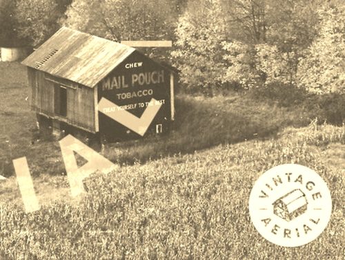
Where to find it *GONE* (razed and removed) OH-58 northeast of intersection with CR-801 by about 0.4 mile. The intersection is just north of Nankin. The barn was on the left side of the highway headed northeast. The Mail Pouch sign faced northeast. One end. Black background.
