- [BAP] Battle Ax Plug (12)
- [BBC] Big Ben Cigars (1)
- [BCS] Baltimore Cigars (3)
- [BDB/BDS] Bull Durham (240)
- [BJT] Black Jack Tobacco (1)
- [BXC] Baxter Cigars (1)
- [CCB] Cubanola Cigars (2)
- [CCS] Charter Cigars (1)
- [CRC] Cremo Cigars (2)
- [DCC] Dry Climate Cigars (2)
- [DNT] Day & Night Tobacco (1)
- [FBC] Five Brothers Cigars (1)
- [GAC] General Arthur Cigars (4)
- [GCC] General Colfax Cigars (3)
- [GRB] Gold River (1)
- [GRT] Grape Tobacco (1)
- [GTS] Greenback Tobacco (5)
- [HGC] Henry George Cigars (45)
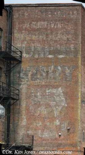
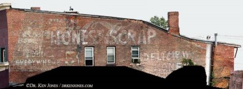
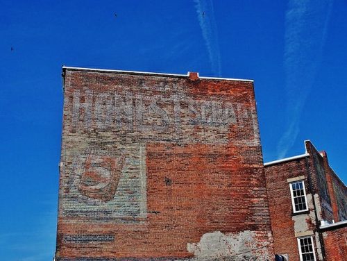
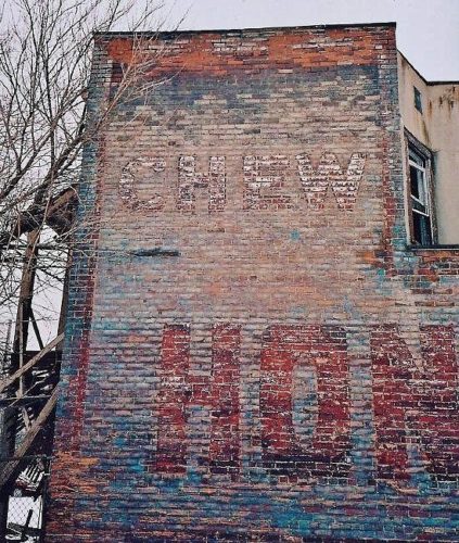
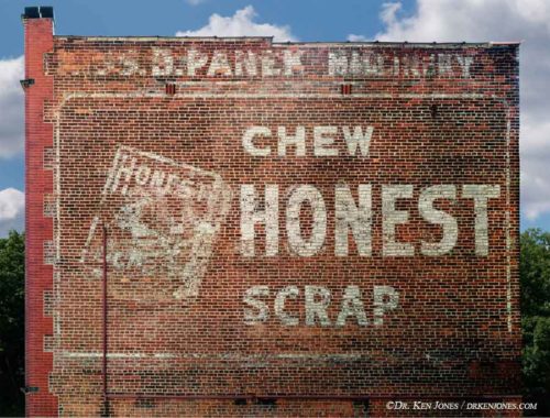
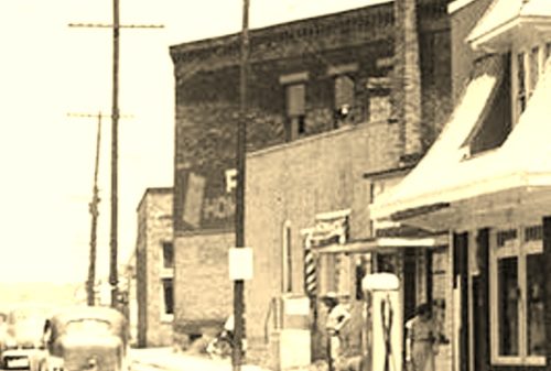
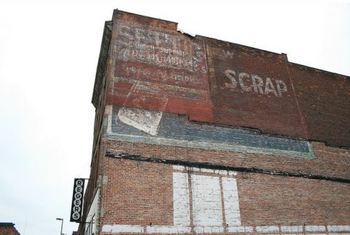
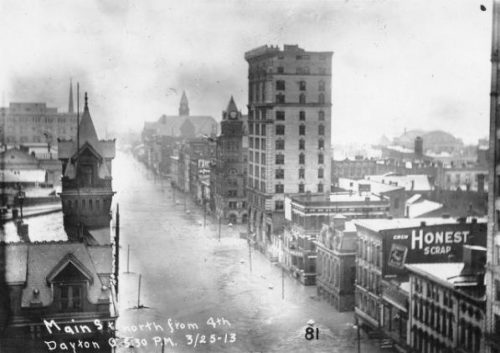
- [HSS] Honest Scrap (19)
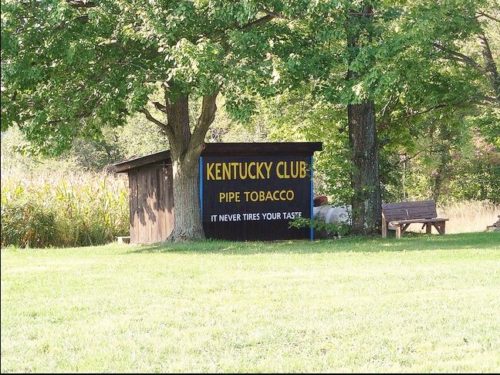
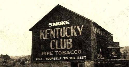
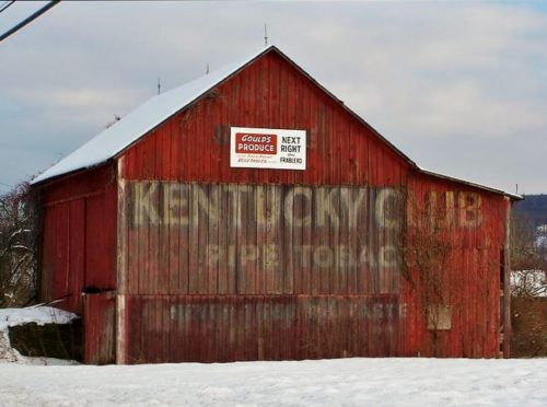
- [KCS/KCB] Kentucky Club (57)
- [LCS] Lovera Cigars (1)
- [LTS] Liberty Tobacco (1)
- [MCB/MCS] Melo Crown (31)
- [MOC] M & O Cigars (5)
- [MWS] Marsh Wheeling Stogies (1)
- [OHB/OHS] Old Hillside (8)
- [OLB] Old Loyalty (1)
- [OWL] Owl Cigars (76)
- [PTS] Partner Tobacco (1)
- [RJR] RJ Reynolds (2)
- [RMB/RMS] Red Man (13)
- [SCT] Silver Cup Tobacco (0)
- [SFC] San Felice Cigars (1)
- [STR] Star Tobacco (7)
- [STS] Sensation Tobacco (1)
- [TMC] Tom Moore Cigars (6)
- [WCS] Webster Cigars (1)
- [WOW] WOW Tobacco (38)
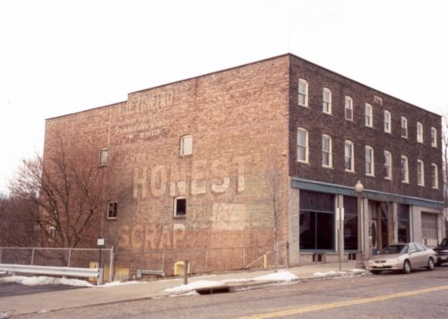
Northwest corner of Water St. & Chestnut St. intersection, in Oneonta. The Honest Scrap sign faces southwest. One side. Four-story brick building. Brown. Greatly faded.
Along the south side of Canal St. west of NY Rt. 14 (Geneva St.), in Lyons, by about 140'. The three-story brick building is on the left side of the street headed west. The HS sign faces west. One side. Three-story brick building. Brown. Greatly faded.
*GONE* (covered by a Quilt Plaque) US-20 (E. Main St.) northeast of OH-534 (N. Broadway) by about 200', in Geneva. The building is on the left side of the street headed northeast. The HS sign faces northeast. One side of the brick building.
*GONE (razed and removed)* Cedar Ave. between E. 103rd St. & E. 101st St., in Cleveland. The building was on the left side of Cedar Ave. headed west from E. 103rd St. toward E. 101st St. The HS sign faced east. One side . Brick building. Brown.
OH Rt. 14/OH Rt 43 (Broadway Ave.) between Czar Ave. & e. 49th St., in Cleveland. Headed southeast on Broadway Ave. from Czar Ave. toward E. 49th St. the building is on the right side of the avenue. The HS sign faces north. One side. Brick building. Brown. Greatly faded.
*GONE (razed and removed)* Southeast corner of the E. Main St./S. Front St. intersection, in Oak Hill. In 2018 Google Earth view now a vacant lot. The 'Chew Honest Scrap' sign faced to the west. One side. Two story brick/masonry building.
OH Rt. 25 (N. Erie St. 'one-way'), in Toledo. On the left side of the street headed northeast between Monroe St. & Jefferson Ave. The Honest Scrap sign faces northeast. One side of brick building. Original Background color - unknown. Greatly faded.
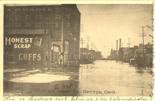
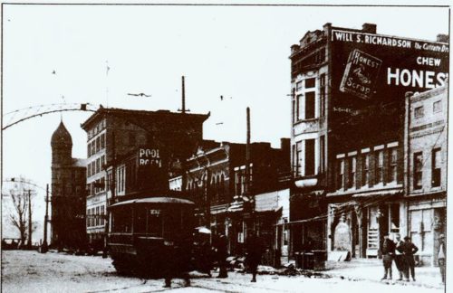
*GONE (demolished)* S. Main St. between E. 4th St. & E. 3rd St. (just before Market St), in Dayton. The brick building was on the right side of the street headed north. The HS sign faced south. One side of brick building. Unknown color.
*GONE* E. 3rd St. in Dayton. One side. Black.
Along the southwest side of Canal St. N, northwest of the intersection with Cherry St W (OH-93), in Canal Fulton, by 500 '. The brick building is on the left side of the street headed northwest. The Honest Scrap sign faces southeast. One side of 3 story, brown brick building. Greatly faded.
*GONE (building razed)* Greene St. between Front St. & 2nd St., in Marietta. The three story masonry building was on the left side of the street headed northeast from Front St. by about 340'. The Honest Scrap sign faced northeast. Black background.
Southwest corner of E. 5th St. & Wood St., intersection, in Tarentum. The Chew Honest Scrap sign faces northeast. One side. Two-story brick building. Brown.
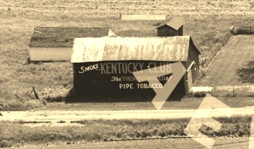
*GONE* (fallen and subsequently removed) Along the south side of US Rt. 6 (GAR Hwy) west of Albion St. (N 290 W) intersection, in Wawaka, by 1.3 miles. The barn was on the left side of US-6 headed west from Wawaka. The Kentucky Club sign faced east. One end. Red background.
OH Rt. 171 (Waynesburg Rd. NW) east of Waynesburg by about 4.4 miles; and, east of the Stark County line by about 3.7 miles. Right side of the highway headed east. The KC sign faces north. One side. Black.
*GONE* Londonderry. One end. Black.
*GONE (painted over)* OH Rt. 31 south of Kenton by about 2.5 miles. The barn is on the right side of the highway headed south. The KC sign faced north. One end. Original black. Now over-painted white.
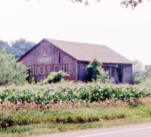
US Rt. 209 east of PA Rt. 715, in Brodheadsville, by about 0.7 mile. The barn is on the right side of the highway headed east. The KC sign faces west. One end. Red.
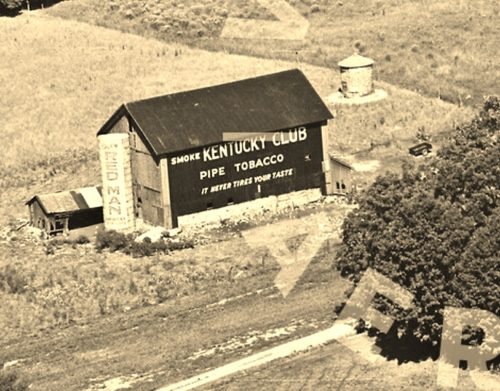
*GONE* (razed and removed) Along the north side of US-12 west of the US-12 & MI-103 intersection in Mottville by about 1.0 mile. Just west of the St. Joseph Co. line. The barn was on the right side of the highway headed west. The Kentucky Club sign faced east. The Red Man Tobacco sign on the silo faced southeast. One side. Original Black background for the Kentucky Club sign, Original White background for the Red Man sign.
*GONE (razed and removed)* The barn faced on Twp. Rd-180 and was view along the southeast side of US-68, south of the intersection with W. Espy St (OH-67), in Kenton, by 3.8 miles. The barn was on the life side of the highway headed southwest from Kenton. A very faded Red Man Tobacco sign was originally on the barn which was subsequently overpainted with a Kentucky Club Tobacco sign. The signs face north. The original barckgrounds were black. One side.
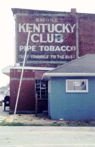
*GONE* (razed and removed for new Post Office building) At the southwest corner of the intersection of IN-5 (n. Jefferson St.) & Water St., in Cromwell. On the northeast side of the old post office. The Kentucky Club tobacco sign faced northeast. One side. Black background.
