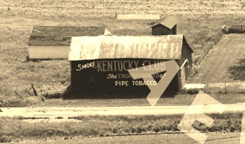
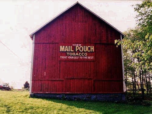
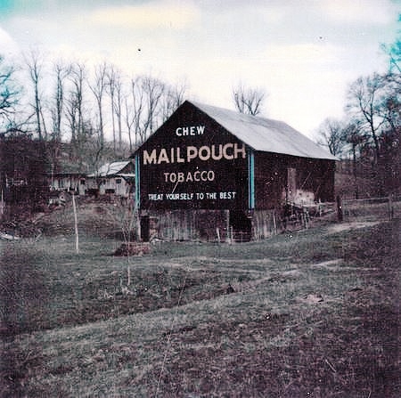
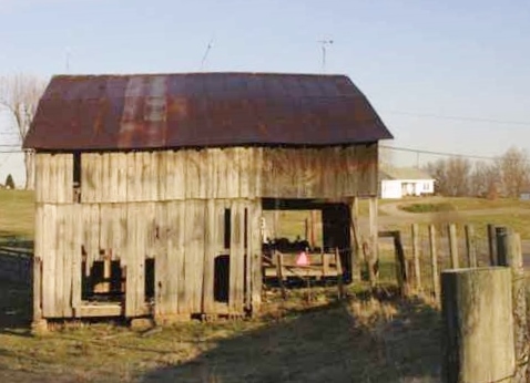
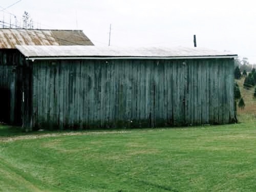
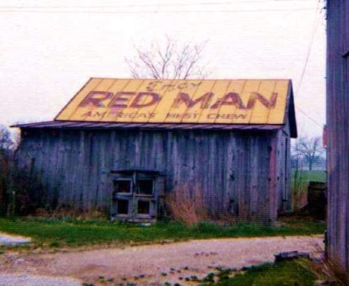
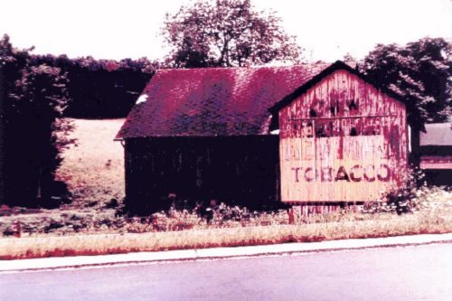
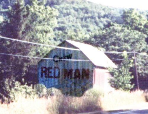
*GONE (razed and removed)* The barn faced on Twp. Rd-180 and was view along the southeast side of US-68, south of the intersection with W. Espy St (OH-67), in Kenton, by 3.8 miles. The barn was on the life side of the highway headed southwest from Kenton. A very faded Red Man Tobacco sign was originally on the barn which was subsequently overpainted with a Kentucky Club Tobacco sign. The signs face north. The original barckgrounds were black. One side.
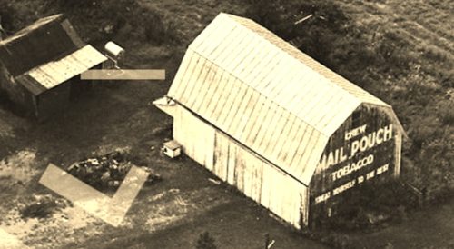
*GONE* (faded away and then painted over) Along the southwest side of Lancaster-Kirkersville Rd NW (OH-158) north of the intersection with Market St. (OH-256), in Baltimore, by 0.8 mile. The barn is on the left side of the road headed north from Baltimore. The Mail Pouch sign faced north. One end. Balck Background.
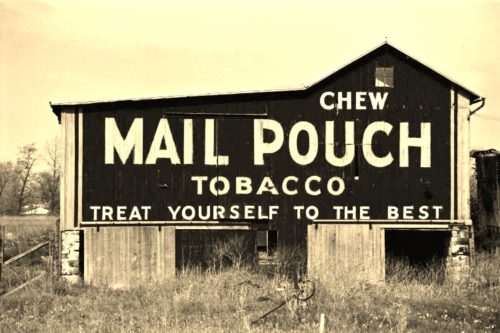
*GONE* (fallen) Along the west side of Lansing Ave south of Mill St., in Leslie, by about 4.4 miles. To access the barn site; from Mill St., in Leslie, turn south onto Russell St., which becomes State Rd. Follow State Rd. south 2.5 miles to W. Territorial Rd. Make left onto W. Territorial Rd. and travel 0.7 mile to Lansing Ave. Make right onto Lansing Ave. and travel about 1.2 miles to the barn site, just before the intersection with Perrine Rd. The barn was on the right side of Lansing Ave. headed south. Foundation may still remian. The Mail Pouch sign which with black background, faced east. The Red Man sign, which with red background faced south.
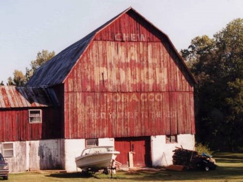
*GONE* (painted over) Along the east side of N. Lakeshore Rd. (MI-25) north of MI-46 (Main St.), in Port Sanilac, by about 6.2 miles. The barn is on the right side of the highway just before Downington Rd. The Mail Pouch/Red Man sign faced south. One end. Mail Pouch original black background. Red Man unknown original background color.
OH Rt. 171 (Waynesburg Rd. NW) southeast of the Main St. intersection, in Waynesburg by about 4.9 miles; and, east of the Stark County line by about 4.0 miles. The barn is on the right side of the highway headed southeast. The signage faces northwest. One end. Red backgound.
US-40, east of OH-668 by about 6.8 miles. On the left side of the highway headed east from OH-668. The Mail Pouch/Red Man sign faces south. One end. Mail Pouch - Black background. Red Man - Yellow background.
*GONE* (faded away) old Seven Rd., just south of OH Rt. 7, south of OH Rt. 681 by about 2.3 miles. The barn is on the right side of the road headed south. One side. Red Man Tobacco sign faced south. Unknown Background color.
*GONE* (razed and removed) old Seven Rd., just south of OH Rt. 7, south of OH Rt. 681, in Tuppers Plains, by about 2.3 miles. The barn was on the left side of old Seven Rd. headed south. One side. Back Gound color unknown.
*GONE* US Rt. 30 (Old Lincoln Hwy.) east of OH Rt. 231 by about 0.5 mile. The barn was on the right side of the highway headed west. Roof. Yellow background.
*GONE* (faded away) US Rt. 220, south of Jersey Shore by 2.7 miles. West of US Rt. 15/US Rt. 220 split, in Williamsport, by about 9.8 miles. The barn is on the north side of the highway. The Red Man Tobacco sign faced southwest. One end. Yellow background.
PA Rt. 14, just south of Penbryn. South of E. Main St., Canton, by about 5.1 miles. The barn is on the left side of the highway headed southwest. The RM sign faces northeast. One end. Yellow with red and black letters.
530 E. Main St., in Blue Ridge. The brick building is on the left side of E. Main St. headed northeast. The building is almost directly across from the intersection of Messer St. Two sides. One sign background green (southwest wall). One sign background white (northeast wall). Brown brick walls. RM sign on northeast side greatly faded.
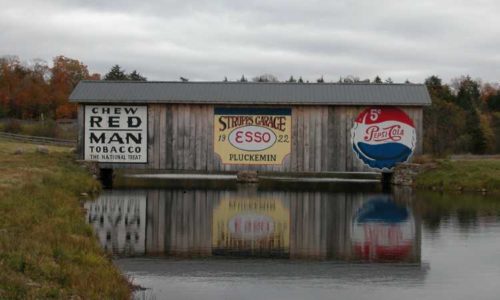
N. Osceola Rd./Clemens Rd. north of Co. Rt. 46 (Osceola Rd.), in Osceola by about 5.8 miles. The covered bridge is on the left side of the road. Two sides. White.
