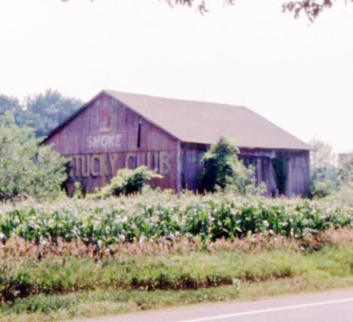
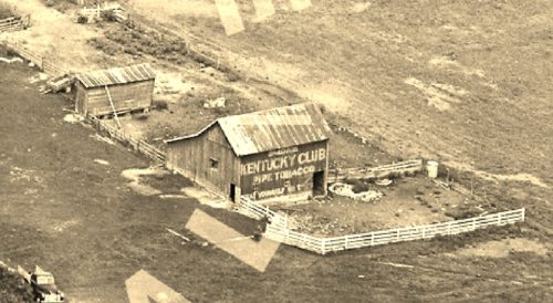
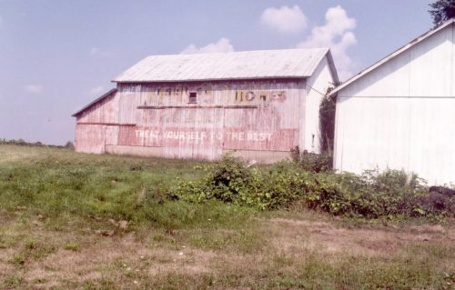
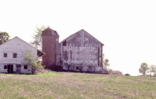
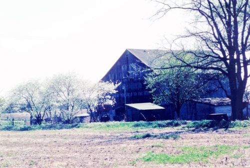
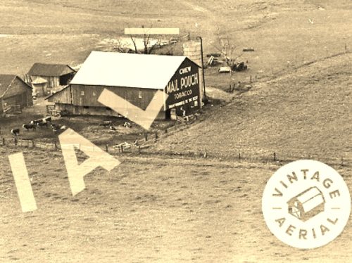
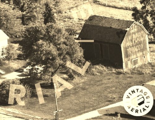
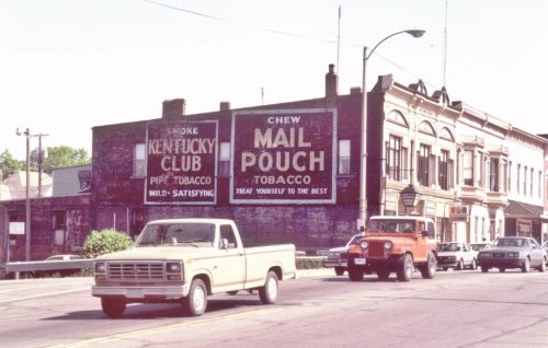
*GONE* (fallen and subsequently removed) Along the south side of US Rt. 6 (GAR Hwy) west of Albion St. (N 290 W) intersection, in Wawaka, by 1.3 miles. The barn was on the left side of US-6 headed west from Wawaka. The Kentucky Club sign faced east. One end. Red background.
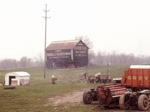
*GONE* (painted over) Along the west side of S 50 W north of Lincoln Hwy (US-33) intersection, in Merriam, by 2.1 miles. The barn is on the left side of S 50 W headed north out of Merrian. The Kentucky Club sign faced east. One side. Black background.
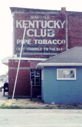
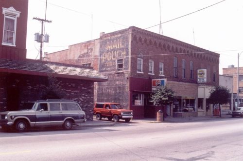
*GONE* (razed and removed for new Post Office building) At the southwest corner of the intersection of IN-5 (n. Jefferson St.) & Water St., in Cromwell. On the northeast side of the old post office. The Kentucky Club tobacco sign faced northeast. One side. Black background.
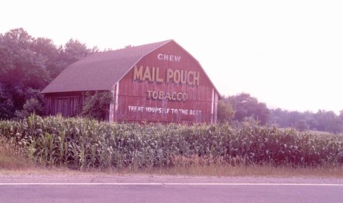
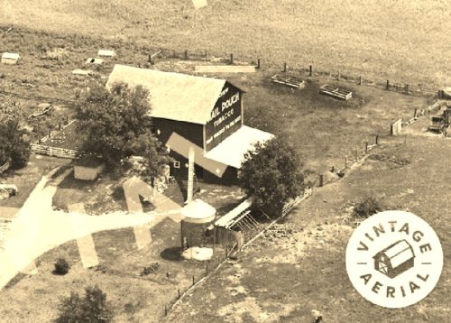
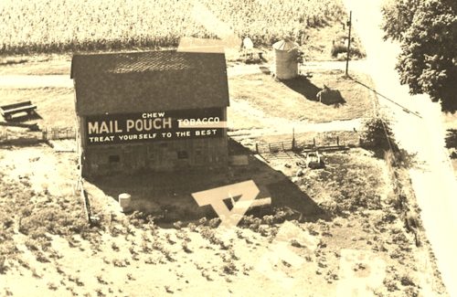
*GONE* (razed and removed) Along the south side of US-6 (GAR Hwy) west of Albion St. (N 290 W) intersection, in Wawaka by 1.3 miles. This barn is just west of KCB 14-57-05. The Mail Pouch sign faced north. One end. Red background.
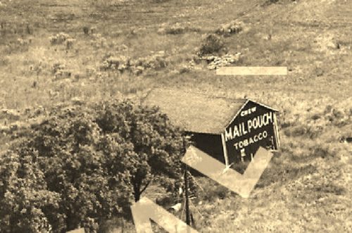
*GONE* (faded away) Along the north side of US-6 (GAR Hwy) east of Albions St. (N 290 W) intersection, in Wawaka by 0.6 mile. The Mail Pouch sign faced west. One side. Red background.
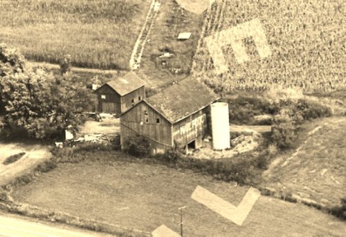
*GONE* (razed and removed) Along the west side of Main St. (old state rd 3) north of Albion St. intersection, in Avilla by 0.7 mile. The barn was on the left side of Main St. headed north out of Avilla. The Mail Pouch sign faced north. One end. Black background.
*GONE* (razed and removed) Along the east side of IN-3/IN-8 north of the Albion St. intersection, in Avilla by 1.9 miles. The barn was on the right side of the highway headed north out of Avilla. The Mail Pouch sign faced southwest. One end. Black background.
*GONE* (razed and removed) Along the north side of E. North St. (US-6) east of IN-3 intersection, in Kendallville, by 3.0 miles. The barn was on the left side of E. North St (US-6) headed east out of Kendallville. The Mail Pouch sign faced east. One end. Black background.
*GONE * (destroyed by wind and subsequently removed) Along the east side of N. Baseline Rd. (IN-9) north of Main St. intersection, in Albion, by 3.0 miles. The barn was on the right side of the road headed north out of Albion.The Mail Pouch sign faced south. One end. Black background.
*GONE* (razed and removed - replaced with new structure) Along the north side of GAR Hwy (US-6) west of the N. Albion St./ N 290 W intersection, in Wawaka, by 1.8 miles. The barn was on the right side of the highway headed west out of Wawaka. The Mail Pouch side faced east. The Mail Pouch end faced south. Black backgrounds.
*GONE* (razed and removed) Along the west side of S. Main St. south of the W. North St. (US-6) intersection, in Kendallville, by 1.5 mile. The barn was on the left side of Main St. headed south from W. North St. (US-6). The Mail Pouch sign faced south. One end. Black background.
*GONE* (razed and removed) Along the northeast side of Lincoln Hwy (US-33) south of the intersection with GAR Hwy (US-6), in Ligonier, by 2.6 miles. The barn was on the left side of Lincoln Hwy (US-6) headed southeast from Ligonier. The Mail Pouch sign faced southeast. One side. Black background.
*GONE* (purposely burned down sometime after 1987) Along the south side of Dowling St. east of the intersection with N. Riley St., in Kendallville, by 1.5 miles. The barn was on the right side of Dowling St. headed east out of Kendallville. The Mail Pouch sign faced west. One end.. Black background.
*GONE* (razed and removed) Along the west side of IN-9 (N. Baseline Rd.) south of Main St./E. State Rd 8 intersection, in Albion by 1.1 miles. The barn was on the right side of IN-9 headed south from Albion. The Mail Pouch side faced east. The Kentucky Club end faced north. Balck backgrounds.
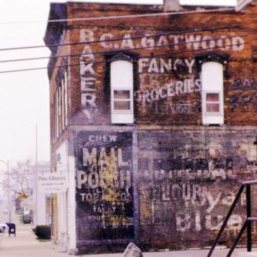
*GONE* (faded away & painted over) Along the west side of IN-5 (S. Cavin St.) just south of Lincolnway W. The Mail Pouch sign faced south. Two-story brick building. One side. Black background.
*GONE* (razed and removed) Along the west side of IN-9 (S. Orange St.), in Albion, between W. Hazel St. & W. Main St. The brick building was on the left side of the street, headed north, in the empty lot just past the US Post Office. The Mail Pouch sign faced north. One side. Black background.
*GONE* (painted over) Along the east side of N. Main St., in Kendallville, between E. Mitchell St. & E. Harris St., just south of the RR tracks by 300'. The Mail Pouch/Kentucky Club signs faced north. One-story brick building. One side. Original black backgrounds.
