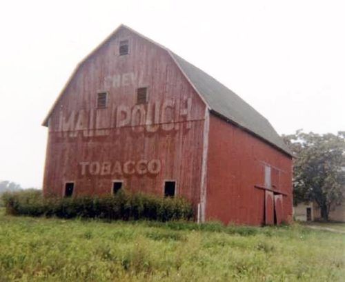
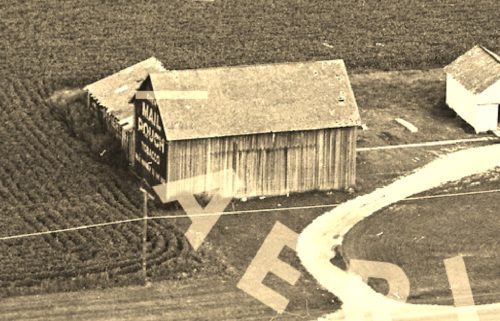
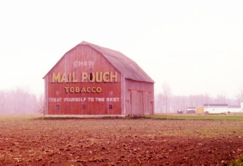
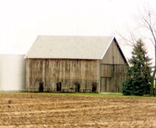
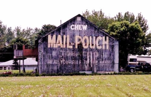
*GONE* (razed and removed) Along the northwest side of IL-37 southwest of the intersection with US-45 by 6.0 miles. The barn was on the right side of IL-37 headed southwest from US-45. The Mail Pouch sign faced northeast. One side. Black background.
*GONE* In the Altamont area.
*GONE* (razed and removed) Along the north side of I-70 (US-40) east of the US-51 intersection, in Vandalia, by 4.9 miles. The barn was on the left side of the highway headed east from Vandalia. Mail Pouch sign on the south end of the barn; and, Mail Pouch sign on the est side of the barn. Black backgrounds.
*GONE* (faded away - possibly fallen) Along the north side of IL-140 (CR-1250 N) southwest of N 440 St intersection, in Hagarstown, by 2.8 miles. The barn is on the right side of IL-140 headed southwest from Hagarstown. The Mail Pouch sign faced south. One end. Black background.
On Rt. 45 just south of Delrey. Sits back in field. One end. Black. From US Rt. 45/US Rt. 24 merge, just east of Gilman, continue on US Rt. 45 for about 8.0 miles. At about 2.0 miles after the merge, US Rt. 24 breaks off and turns west, while US Rt. 45 continues south. From the split, continue south of US Rt. 45 about 6.0 miles. The barn is on the left while headed south and is sheltered by a grove of trees. Sign faces south and is difficult to see, especially while the trees are in foliage. One end. Black.
*GONE* (razed and removed) Located along old U.S. Route 50, about 2 miles west of IL Rt. 1 in Lawrenceville. The barn was on the left side as you head west. Sign faced east. One end. Black background.
*GONE* Was on IL Rt. 1, 6.5 miles north of US Rt. 50 in Lawrenceville. The barn was on right side while headed north. In 2006 the barn was destroyed by high winds. A small shed building now occupies the space. Two ends.
*GONE* (fallen) Along IL Rt. 1 north of the State St. intersection, in Lawrenceville by about 9.0 miles. The barn was on the right side of the highway headed north. The Mail Pouch sign faced west. One end. Black background.
*GONE* (fallen) Along IL Rt. 1 north of the State St. intersection, in Lawrenceville by about 7.4 miles. The barn was on the right side of the highway headed north. The Mail Pouch sign faced west. One end. Black background.
*GONE* (razed and removed) IL Rt. 250 east of the N. Christy Ave. intersection, in Sumner, by 1.3 miles. The barn was on the right side of the highway headed east. The Mail Pouch sign faced west. One end (possibly 2). Black background.
*GONE* (razed and removed) Along the south side of US-50 east of Broadway St. (IL-37), in Salem, by 8.3 miles. The barn was on the right side of the highway headed east from Salem. One end. Black background.
*GONE* (razed and removed) Along the west side of US-51 north of the US-50 intersection (just north of Sandoval) by 2.2 miles. The barn was on the left side of the highway headed north from Sandoval. The Mail Pouch sign faced north. One end (possibly two) Black background.
*GONE (razed and removed)* Along the south side of IL-250 (US-50) east of West St. (IL-130) intersection, in Olney by 6.7 miles. The barn was on the right side of the highway headed east. The Mail Pouch sign faced east. One end. Black background.
*GONE* US Rt. 50 (Ruta de Illinois 250), east of S. West St. intersection, in Olney, by 7.8 miles. This barn was on the south side of the highway. The Mail Pouch sign faced north. One side. Black background.
*GONE* (razed and removed) Along the south side of County Rd 800 N (IL-15), northeast of the intersection with Robinson Ave., in Wayne City, by 2.6 miles. The barn was on the right side of the highway headed east. There was a Mail Pouch sign on each end of the barn. Black background.
*GONE* (razed and removed) Along the southwest side of Decatur Rd. (US-33) east of the US-27 intersection (south of Decatur) by 3.6 miles. The barn was on the right side of Decatur Rd headed east from US-27. The Mail Pouch sign faced southeast. One end. Red background.
*GONE* (razed and removed) Along the east side of US Rt. 27, south of the US Rt. 27/US Rt. 33 junction by 1.9 miles. The barn was on the left side of the highway headed south. The Mail Pouch sign faced north. One end. Black background.
*GONE* (razed and removed) Along the east side of Townley Rd. (IN-101) north of South St., in Monroeville, by 2.1 miles. The barn was on the right side of Townley Rd. headed north from Monroeville. The Mail Pouch sign faced north. One end. Red background.
*GONE* (razed and removed - replaced with a new structure) Along the west side of Bluffton Road (IN-1) south of I-469 by about 0.2 mile. The barn was on the right side of the highway headed south. The Mail Pouch sign faced south. One side.
*GONE* (faded away/covered over) Along the east side of Bluffton Rd. (IN-1) south of I-469 (US-33) by about 0.3 mile. The building is on the left side of the highway headed south. The Mail Pouch sign faced north. One end. Black background.


