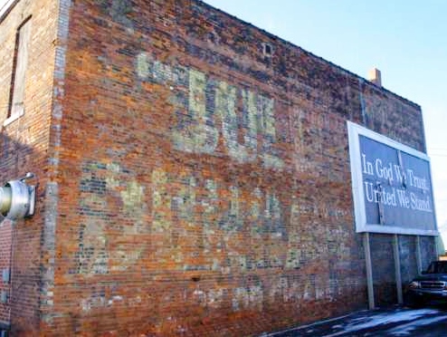
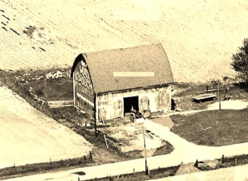
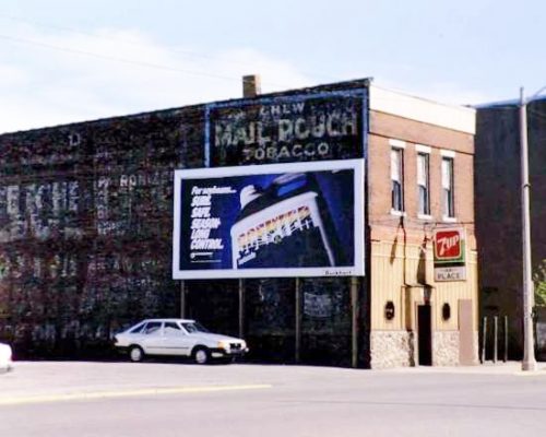
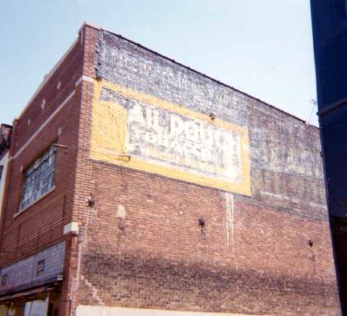
*GONE* (covered over) Along the east side of N. Randolph St. (IN-127), in Garrett, between Quincy and King Streets. The Bull Dujrham sign faced north. Original black background.
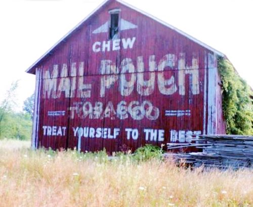
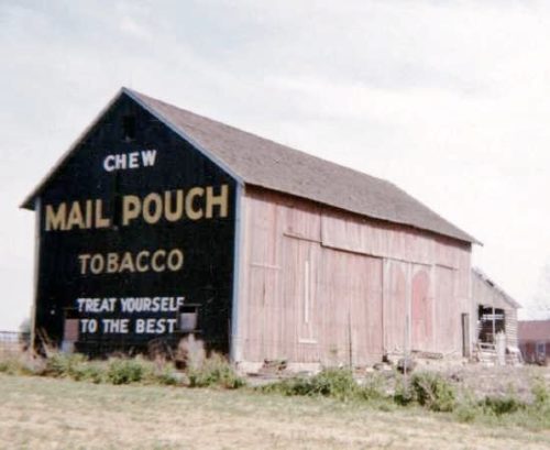
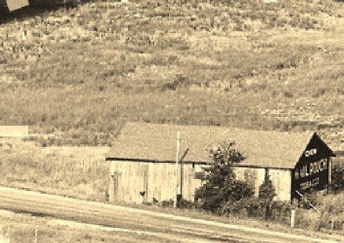
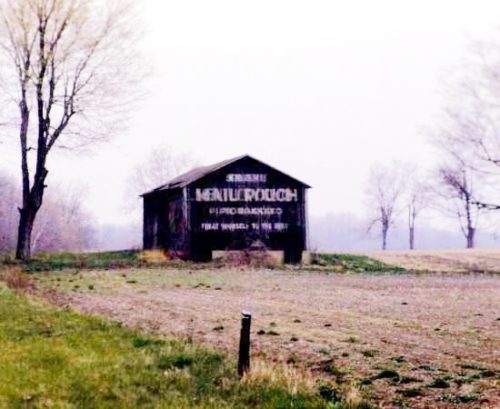
*GONE* (razed and removed) Along the north side of Grand Army of the Republic Hwy (US-6) west of I-69 by about 1.25 miles. The barn was on the right side of the highway headed west. The Mail Pouch sign faced west. One end. Original black background.
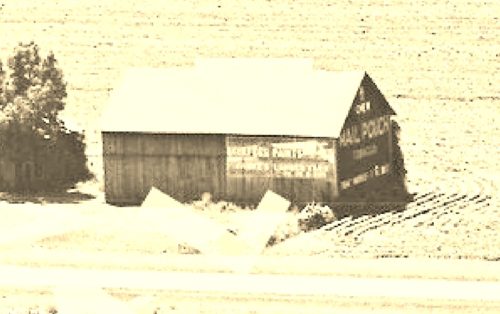
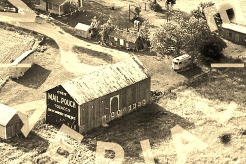
*GONE (razed and removed) Along the west side of County Road 39 (Old US-27) north of the intersection with IN-427 by 4.4 miles. The barn was on the left side of the road headed north. Two ends. Original Black backgrounds.
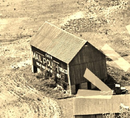
*GONE* (razed and removed) Along the west side of County Rd. 39 (old US-27) north of IN-427 by 2.8 miles. The barn was on the left side of the road headed north from IN-427. The Mail Pouch end faced southwest. The Mail Pouch side faced northeast. Black backgrounds.
*GONE* (razed and removed) Along the west side of County Rd. 47 north of the intersection with US-6 by 450'. The barn was on the left side of the road headed north from US-6. The Mail Pouch sign faced south toward US-6. One end. Red background.
*GONE* Along the south side of the Grand Army of the Republic (US-6) west of the intersection with Broadway St. (IN-1), in Butler, by 1.6 miles. The barn was on the left side of the highway headed west from Butler. The Mail Pouch sign faced west. One end. Black background.
*GONE* The barn was along the east side of County Road 427 (old IN-47) south of the intersection with County Road 68 by 0.17 mile. The CR-427/CR-68 intersection is east of I-69 by 0.5 mile. (This is not an I-69 exit). The barn was on the left side of CR-427 headed south from CR-68. The Mail Pouch sign faced south. One end. Black background.
*GONE* (razed and removed) The barn was along the east side of IN-1 north of the intersection with Spencer St., in St. Joe, by 1.6 miles. The barn was on the right side of the highway headed north from St. Joe. The Mail Pouch sign faced north. One end. Black background.
*GONE* Along the east side of Purple Heart Memorial Hwy. (IN-1) south of the Main St. (US-6) intersection, in Butler, by 1.9 miles. The barn was on the left side of the highway headed south from Butler. The Mail Pouch sign faced south. One end. Black background.
*GONE* Along the west side of IN-101 south of IN-8 by about 2.6 miles. The barn was on the left side of the highway headed south from IN-8. The MP/KC signs faced south. One end. Black backgrounds.
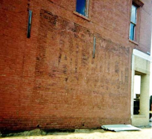
*GONE* (painted over) Northwest corner of the intersection of N. Main St. & W. 6th St., in Auburn. One side. Brick building. Black background.
*GONE* (covered over) Along the east side of N. Randolph St. (IN-127), in Garrett, between Quincy and King Streets. The Mail Pouch sign faced north. Original black background.
*GONE* (building razed and removed) Along the east side of N. Rudolph St. (IN-3237), in Garrett, north of E. King St.by about 120'. The building was on the right side of the street headed north. The Mail Pouch sign faced south. One side. Brick building. Black background.
