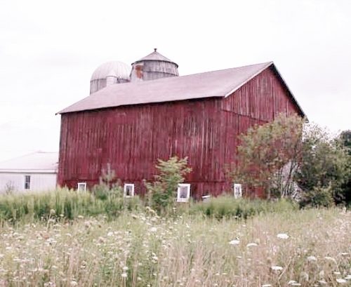
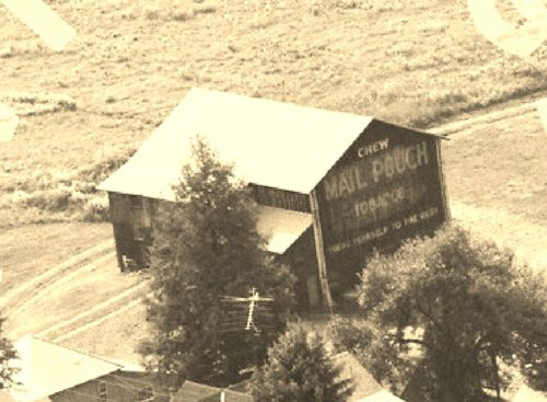
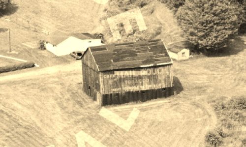
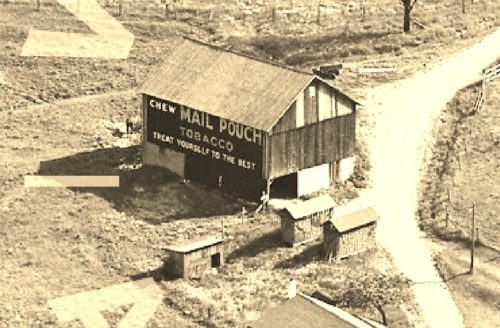
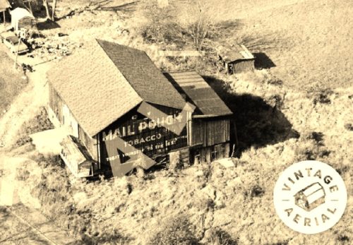
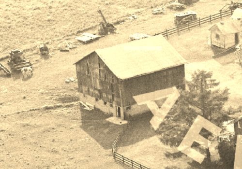
*GONE* (painted over) PA Rt. 27 (Meadville Rd.) southwest of the PA Rt. 27 (W. Central Ave.)/PA Rt. 8 (Spring St.) intersection, in Titusville, by about 9.1 miles. The barn is on the right side of the highway headed southwest. The Mail Pouch sign faced southwest.
PA Rt. 257, north of intersection with US Rt. 322 (Lakes to the Sea Hwy.) intersection, in Cranberry, by about 0.8 mile. The barn is on the right side of the highway headed north. The Mail Pouch sign faces north. One end. Black background.
*GONE (razed and removed)* old rt. 8 (Cr 3013) north of Georgetown Rd. intersection (just west of the PA Rt. 8 interchange), by about 0.7 mile. The barn was on the right side of the highway headed northeast away from Georgetown Rd. The Mail Pouch sign faced southwest. One side. Black background.
*GONE (razed and removed)* This barn was located along old rt 322, west of US-322 intersection, at Hannasville, by about 1.0 mile. The barn was on the right side of the highway headed west. The Mail Pouch/Kentucky Club sign faced southwest. One side. Black background.
*GONE* (fallen & removed) PA-157 southeast of US-62 (President Rd.) by about 1.8 miles. The barn was on the left side of the highway headed east. One end. Black background.
*GONE* (razed and removed) US Rt. 322 (Lakes to the Sea Hwy) northwest of PA Rt. 257 (Cranberry Rockland Rd.) intersection, in Cranberry, by about 0.7 mile. The barn was on the left side of the highway headed northwest. The MP/WOW sign faced southeast. One end. Black background.
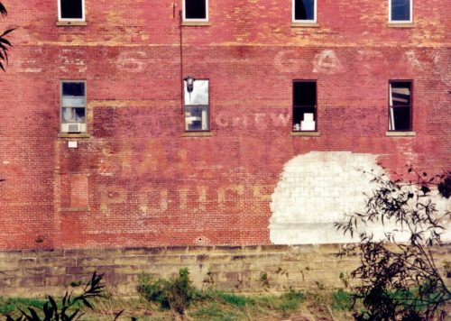
*GONE* (building razed and removed) In Oil City. Building faced on PA-8. Sign was on rear of building, facing Oil Creek just before it flows into the Allegheny River. One side. Original black background.
