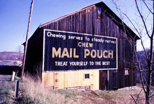
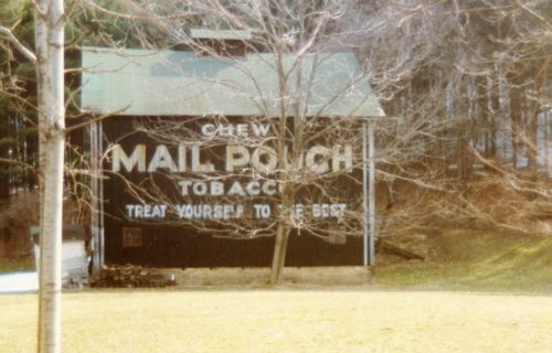
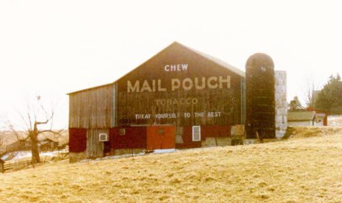
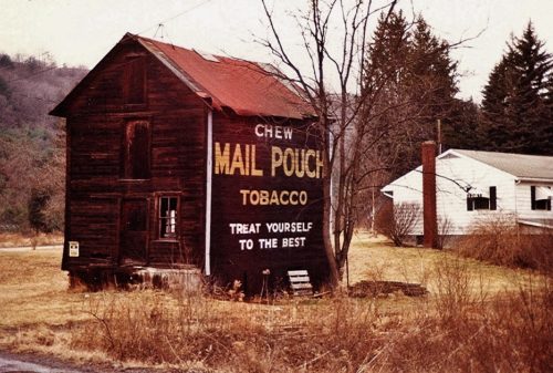
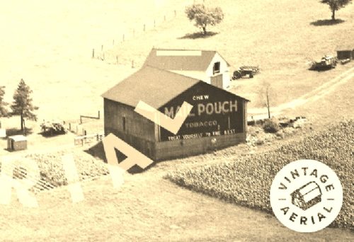
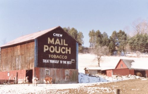
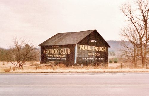
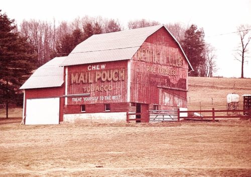
*GONE (burned down)* US-219 (Burnside McGee Hwy.) north of St. Rt. 3016 (Byers's Rd.), in Burnside, by about 1.7 miles. The burned barn rubble is on the right side of the highway headed east. Two ends. black.
*GONE* Along the southeast side of US-219 (Mahaffey Grampian Hwy.) south of Main St., in Grampian, by about 3.5 miles. North of PA-969 (Lumber City Hwy.) by about 1.0 mile. The barn was on the left side of the highway headed southwest from Grampian. The Mail Pouch sign faced northwest. One side. Black background.
US-219/US-322 (Carson Hill Rd.), northwest of PA-410 (Shamokin Trail/Luthersburg-Rockton Rd.) intersection, in Luthersburg, by about 1.5 miles. The barn is on the right side of the highway headed northwest. The Mail Pouch sign faces northwest. One. end. black background. Greatly faded.
*GONE (fallen)* On Bell Run Road (T461), just off of US-219 (Mahaffey Grampian Hwy.) To access Bell Run Rd., head south on US-219 about 3.5 miles from the intersection of Main St., in Grampian. Make right onto Bell Run Rd. the barn rubble is almost immediately on the right. One side. Black.
*GONE (painted over)* US-219 S (Chestnut Grove Hwy) northwest of the 1st St. intersection, in Grampion, by about 5.0 miles. The barn is on the left side of the highway headed northwest. The Mail Pouch sign faced northwest. One side. Black background.
*GONE* (painted over/faded away) PA-255 (Bee Line Hwy) northeast of I-80 exit 101 by about 3.5 miles. The barn is on the left side of the highway headed northeast. The Mail Pouch sign faced northeast. One end. Black background.
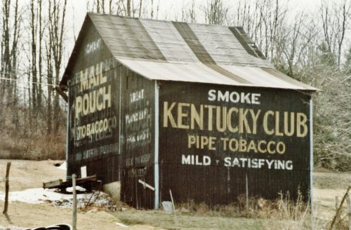
*GONE* US Rt. 219 (Mahaffey Grampian Hwy.) south of Main St., in Grampian, by about 4.5 miles. Just north of the PA Rt. 969 (Lumber City Hwy.) intersection. The barn was on the left side of the highway headed southwest. One side (Kentucky Club) faced north. One end (Mail Pouch) faced west. Black.
*GONE (painted over)* PA Rt. 879 (Curensville Grampian Hwy.) northeast of US Rt. 219 (Main St.), in Grampian, by about 0.4 mile. The barn is on the left side of the highway headed northeast. One end. One side. Red.
US Rt. 219 (Mahaffey Grampian Hwy.) south of Main St., in Grampian, by about 1.2 miles. North of PA Rt. 969 (Lumber City Hwy.) by about 3.4 miles. The barn is on the southeast side of the highway. North east end Mail Pouch/Kentucky Club/Melo Crown. Southwest end Mail Pouch. Northwest side Kentucky Club. Black.
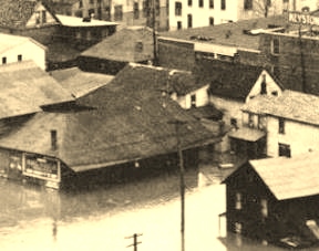
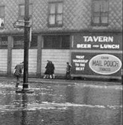
*GONE* Near the corner of Bridge St. & N. 3rd St., in Clearfield. The Mail Pouch sign faced east toward N. 3rd St. One side. Black background.
*GONE* (sandblasted away and/or painted over) Along the southwest side of W. Lone Ave. just to the northwest of the RR tracks, in DuBois. The Mail Pouch sign faced southeast. One side.
