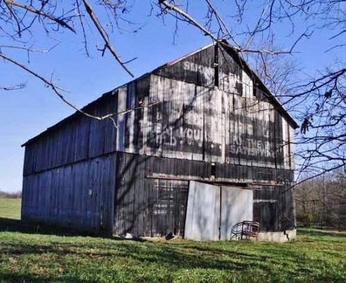
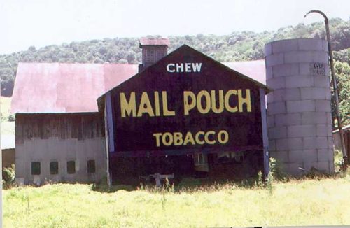
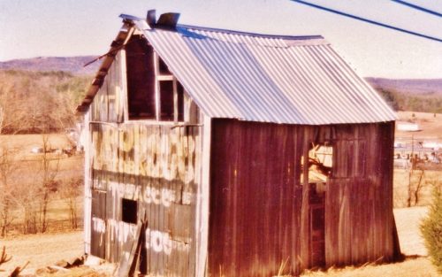
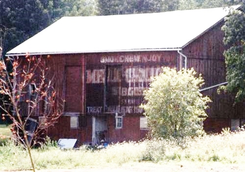
- [BAP] Battle Ax Plug (12)
- [BBC] Big Ben Cigars (1)
- [BCS] Baltimore Cigars (3)
- [BDB/BDS] Bull Durham (240)
- [BJT] Black Jack Tobacco (1)
- [BXC] Baxter Cigars (1)
- [CCB] Cubanola Cigars (2)
- [CCS] Charter Cigars (1)
- [CRC] Cremo Cigars (2)
- [DCC] Dry Climate Cigars (2)
- [DNT] Day & Night Tobacco (1)
- [FBC] Five Brothers Cigars (1)
- [GAC] General Arthur Cigars (4)
- [GCC] General Colfax Cigars (3)
- [GRB] Gold River (1)
- [GRT] Grape Tobacco (1)
- [GTS] Greenback Tobacco (5)
- [HGC] Henry George Cigars (45)
- [HSS] Honest Scrap (19)
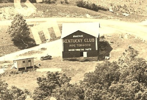
- [KCS/KCB] Kentucky Club (57)
- [LCS] Lovera Cigars (1)
- [LTS] Liberty Tobacco (1)
- [MCB/MCS] Melo Crown (31)
- [MOC] M & O Cigars (5)
- [MWS] Marsh Wheeling Stogies (1)
- [OHB/OHS] Old Hillside (8)
- [OLB] Old Loyalty (1)
- [OWL] Owl Cigars (76)
- [PTS] Partner Tobacco (1)
- [RJR] RJ Reynolds (2)
- [RMB/RMS] Red Man (13)
- [SCT] Silver Cup Tobacco (0)
- [SFC] San Felice Cigars (1)
- [STR] Star Tobacco (7)
- [STS] Sensation Tobacco (1)
- [TMC] Tom Moore Cigars (6)
- [WCS] Webster Cigars (1)
- [WOW] WOW Tobacco (38)
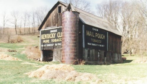
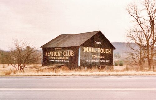
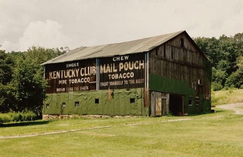
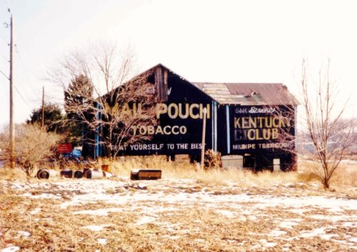
Along the southwest side of US-30 (Lincoln St. SE) southeast of Wood St. intersection, in East Canton, by 4.1 miles. The barn is on the right side of the highway headed southeast. The Mail Pouch sign faces northeast. The Kentucky Club sign faces southeast. One end (Kentucky Club). One side (Mail Pouch). Black Backgrounds.
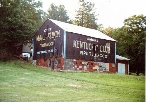
*GONE* (faded away) Along the south side of US-224 west of US-30 by about 4.8 miles. The barn is on the left side of the highway headed west. Two ends. Mail Pouch with red background faces west. Kentucky Club with black background faces east.
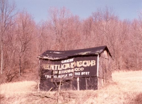
*GONE* (fallen and removed) Along the east side of OH-278, north of US-50, in Prattsville, by 2.9 miles. The barn was on the right side of the highway headed north. The MP/KC sign faced west. One side. Black background.
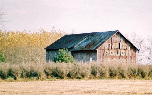
Along the southeast side of Laurel Rd. The barn used to be visible from along the nothwest side of Dime Rd. (PA-66A); however, it is now shielded by a tree line. The barn is northeast of the Lincoln Ave. (PA-66) intersection, in Vandergrift, by about 2.8 miles. The barn is on the left side of Dime Rd. (PA-66A) headed northeast. The Mail Pouch sign end faces southwest. The Kentucky Club sign side faces southeast. One end. One side. Black backgounds.
*GONE* (remodeled) Along the northwest side of PA-66, north of 3rd St., in Leechburg, by about 2.7 miles. The NE end, SW end and SE side have all had Mail Pouch signs. It appears from the photos that only the SE side has had a Kentucky Club tobacco sign. Black backgrounds.
*GONE (fallen)* On PA Rt. 26 (Raystown Rd.) north of US Rt. 30 (Bud Shuster Byway.) by about 6.0 miles. To access the site head north from US Rt. 30, on PA Rt. 1007 (Old Sand Bank Rd.) to merge point with PA Rt. 26. The barn was on the left side of the highway headed north. MP end faced east. MP/KC side faced north. One end and one side. Black backgrounds.
*GONE* US Rt. 219 (Mahaffey Grampian Hwy.) south of Main St., in Grampian, by about 4.5 miles. Just north of the PA Rt. 969 (Lumber City Hwy.) intersection. The barn was on the left side of the highway headed southwest. One side (Kentucky Club) faced north. One end (Mail Pouch) faced west. Black.
*GONE (painted over)* PA Rt. 879 (Curensville Grampian Hwy.) northeast of US Rt. 219 (Main St.), in Grampian, by about 0.4 mile. The barn is on the left side of the highway headed northeast. One end. One side. Red.
*GONE (faded away)* US Rt. 522 (Great Cove Rd.) southwest of US Rt. 30 (Lincoln Hwy.) by 11.5 miles. The barn is on the left side of the highway. One end (Kentucky club) faced southeast; and one side (Mail Pouch) faced southwest. Red backgrounds.
*GONE (razed and removed)* PA Rt. 56 east of US Rt. 119 (Buffalo-Pittsburgh Hwy.), in Homer City, by about 2.5 miles. The barn is on the left side of the highway headed northeast. One end MP sign faces southwest; and one side MP sign and KC sign faces southeast. Black.
*GONE* (razed and removed) Along the northwest side of Parkersburg Rd. CR-21/old US-21) south of the Wirt Co. line by about 9.5 miles. The barn is on the right side of the road headed southwest. Two ends. Black backgrounds.
Along the southeast side of Ripley Rd. (WV-2) east of Viand St., in Point Pleasant by about 6.3 miles. The barn is on the right side of the highway headed east. Mail Pouch sign on the northwest side and on the northeast end. Kentucky Club sign on the southwest end. Black backgrounds.
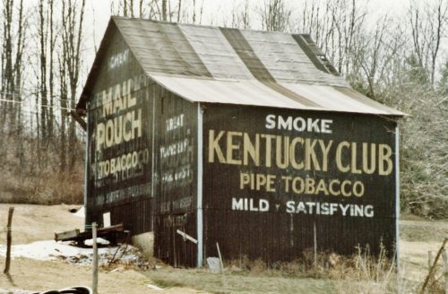
Along the south side of Fort Gay Rd. (WV-37) west of WV-152 by 1.8 miles. The barn is on the left side of Fort Gay Rd. (WV-37) headed west. East end Kentucky Club sign. West end and north side Mail Pouch signs. Black backgrounds.
Along the north side of OH-141 northeast of the intersection with Neds Fork Rd (CR-53) in Kitts Hill, by 2.5 miles. Just before the intersection with Twp. Rd. (Union Church - Lodge Ridge Rd.). On the left side of the highway headed east. Just past the Union Baptist Church at the 9 1/2 mile marker. Signs face south. One side. Black Background & 2 by unknown .
*GONE* (razed and removed) Along the southwest side of N. Pike Rd. (PA-356) northwest of PA-28 (Allegheny Valley Expy.) by about 7.0 miles. The barn was on the left side of N. Pike Rd. headed northwest. The site is almost directly across from the Cooper Rd. intersection. The Mail Pouch end and the KC/MC side faced northwest. One end (MP). One side (KC/MC). Black backgrounds.
US Rt. 219 (Mahaffey Grampian Hwy.) south of Main St., in Grampian, by about 1.2 miles. North of PA Rt. 969 (Lumber City Hwy.) by about 3.4 miles. The barn is on the southeast side of the highway. North east end Mail Pouch/Kentucky Club/Melo Crown. Southwest end Mail Pouch. Northwest side Kentucky Club. Black.
*PARTIAL GONE* (East end painted over) US Rt. 50 est of Rainsboro by about 1.5 miles. The barn is on the right side of the highway headed east. Two ends (east and west). One side (south). Black. Greatly faded.
PA-281 (Kingwood Drive), northeast of PA-281 (Casselman St.)/PA-523 (Oden St.) intersection, in Confluence, by about 3.1 miles. The barn is on the right side of the highway headed northeast. Two ends. Black backgrounds.
*GONE (fallen)* Along the southeast side of Northwestern Pike (US-50/WV-28) northeast of US-220 intersection by about 3.0 miles. The barn was on the right side of the highway headed northeast. Two ends. Black backgrounds.
*GONE* (covered over) OH-179 (E. Main Street) east of OH-60 (Mechanic St.), in Hayesville, by 0.5 mile. The barn is in a field on the right side of the road headed east. The Mail Pouch/Melo Crown sign faced north. One side. Black Background.
