MPB/WOW 38-30-07

Photo 1
Sides Painted
2
Color
Black
Structure
Barn
Unique Characteristics
Location
Still Standing
No
Credits

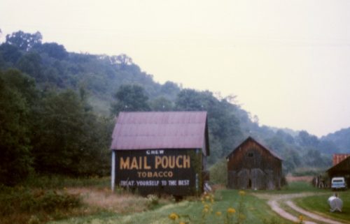
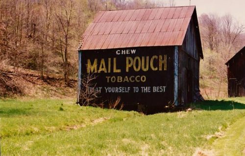
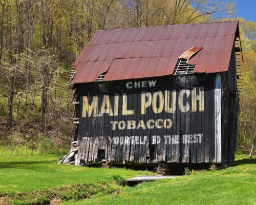
Photo 1 by Fred Yenerall (Sept. 1978).

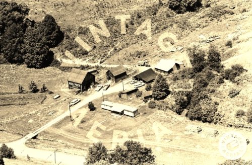
Photo 2 by unknown VA # 25-FGR-7 (1975) courtesy of Vintage Aerial

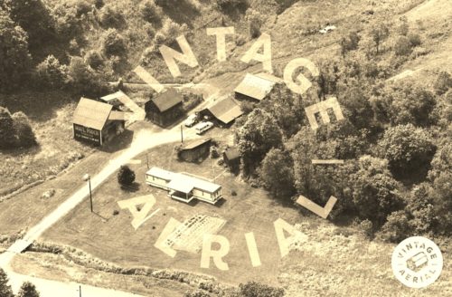
Photo 3 by unknown VA # 61-TGR-2 (1984) courtesy of Vintage Aerial

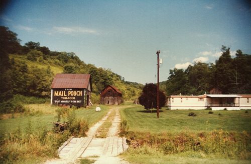
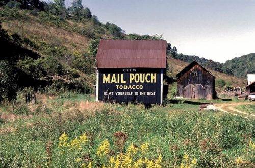
Photo 4 by Dave and Mary Ann Shaver (July 28, 1986).

Photo 5 by Larry Zinn (Summer 1987) (contributed by Butch Moon).

Photos 6 & 7 by Emerson Miller (1993 - from album donated by daughter Darlene Long).

Photo 8 by Gyla Schnauffer (Apr. 2000). 

Photos 9, 10 & 13 by unknown. 

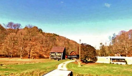
Photo 11 Google Earth street view (Oct. 2008). 

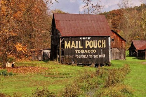
Photo 12 by Brian Morganti (2011).

Photos 14 & 15 by Bill Eichelberger (Oct. 21, 2016).

Photo 16 by Bruce Burnfield (Feb. 2017).

Photos 17-19 by Rene Shuman Chapman (July 2017).

Photo 20 by Bruce Burnfield (Apr. 22, 2019).

Photo 21 by Kayla Kazarick (april 2019).

Photo 22 by Kenneth Cunningham (Nov. 2, 2020).

Photos 23 & 24 by Charlotte Pletcher (Apr. 2021).

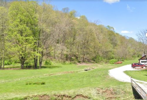
photo 25 Google street view (May 2023).
Other Information

Wyatt Coburn reported in July 2023 that this barn has been razed and removed. Photo 25 (May 2023) is a Google street view of the cleared site
Where to find it

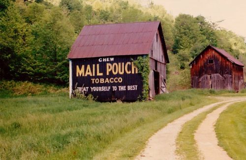
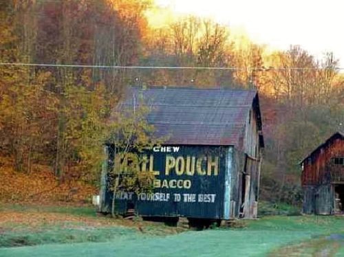
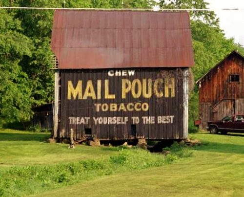
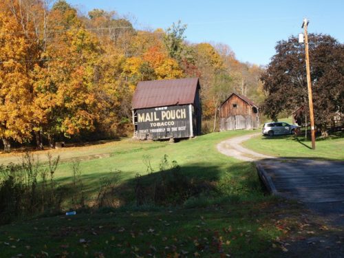
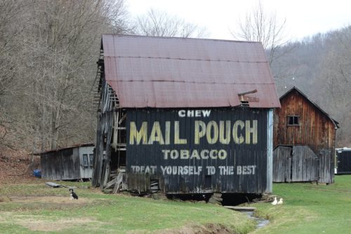
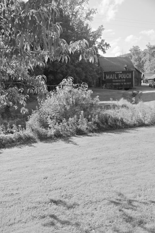
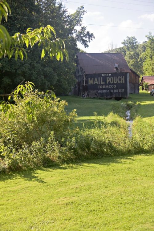
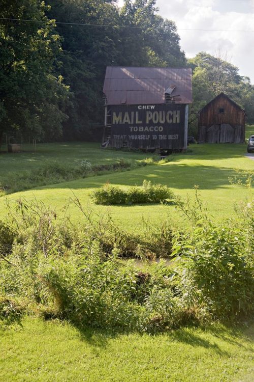
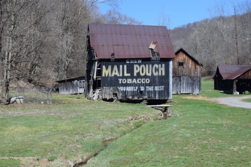
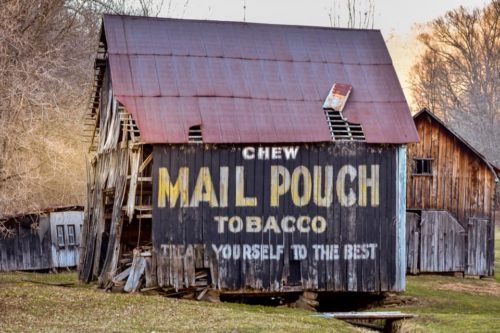
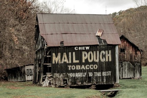
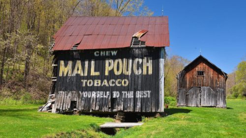
*GONE* (razed and removed) PA Rt. 18 (Golden Oaks Rd.) southwest of PA Rt. 21 (Roy Furman Hwy.) by about 10.5 miles. The barn was built over a small creek. The barn was on the right side of the highway headed southwest. One end. One side. Black.

Address
1155 Golden Oaks Rd (PA-18)
City
Holbrook
State
PA
Zipcode
15341
Country
USA
Latitude
N 39° 46.60'
Longitude
W -80° 24.14'
lat
39.77665708
lng
-80.40232847
  • Photo 2
  • Photo 3
  • Photo 4
  • Photo 5
  • Photo 6
  • Photo 7
  • Photo 8
  • Photo 9
  • Photo 10
  • Photo 11
  • Photo 12
  • Photo 13
  • Photo 14
  • Photo 15
  • Photo 16
  • Photo 17
  • Photo 18
  • Photo 19
  • Photo 20
  • Photo 21
  • Photo 22
  • Photo 23
  • Photo 24
  • Photo 25