MPB/WOW 38-03-04

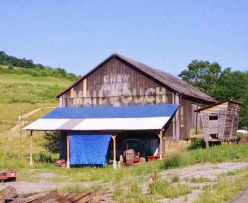
Photo 1
Sides Painted
1
Color
Black
Structure
Barn
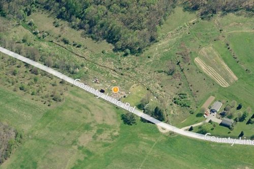
Unique Characteristics
None
Still Standing
No
Credits

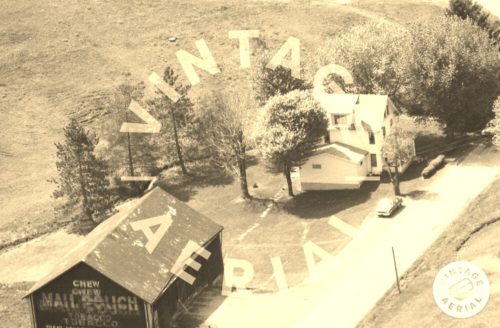
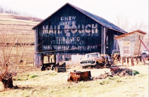
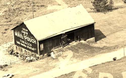
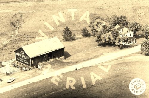
Photos 1 & 2 by unknown VA # 001-RBU-12 (1973) courtesy of Vintage Aerial

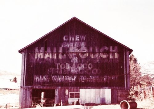
Photo 3 by unknown VA # 017-XBT-10 (1987) courtesy of Vintage Aerial

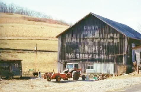
Photo 4 by Emerson Miller (1992 - from album donated by daughter Darlene Long). 

Photo 5 by Gyla Schnauffer (Mar. 4, 2000). 

Photos 6 & 7 by unknown. 

Photos 8 & 9 from Bing Map Bird's Eye view (2012).

Photo 10 Google street view (July 2019).
Other Information

Photo 1 is an enlarged inset view from Photo 2.

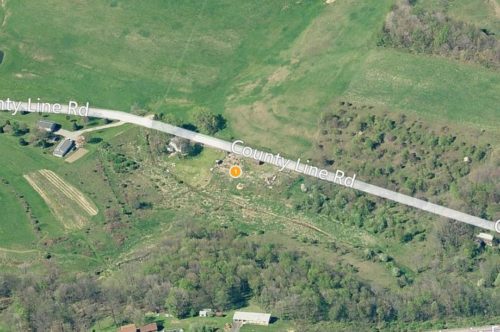
Photos 8 & 9 show the former location (where the yellow dot is located), next to the corn crib.  The corn crib is now gone as well.

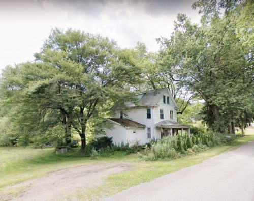
Photo 10 (Google street view) shows the existing house that is noted in Photos 2 & 3.

Photos 2 & 3 (Vintage Aerial photos) are actually on film strips for Butler County. The site for this barn is just east over the Butler County line in Armstrong County.
Where to find it

*GONE* (razed and removed) Along the southwest side of County Line Rd., north of US-422 (Benjamin Franklin Hwy.) by about 0.3 miles. The barn was on the left side of the road headed northwest from US-422. The MP/WOW sign faced southeast. One end. Black background.
Address
165 County Line Rd T-570)
City
Worthington
State
PA
Zipcode
16262
Country
USA
Latitude
N 40° 51.04'
Longitude
W -79° 41.12'
lat
40.85143848
lng
-79.68645617
  • Photo 2
  • Photo 3
  • Photo 4
  • Photo 5
  • Photo 6
  • Photo 7
  • Photo 8
  • Photo 9
  • Photo 10