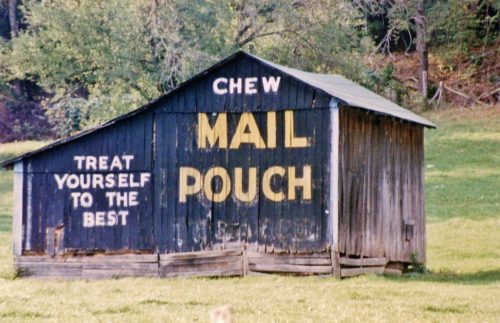
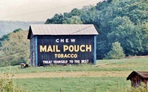
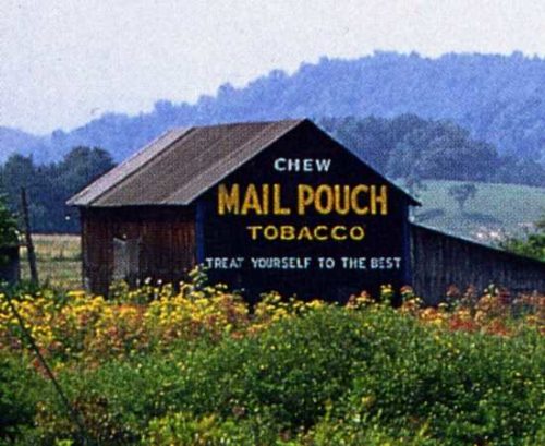
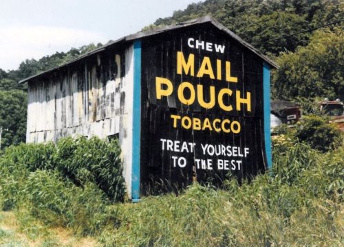
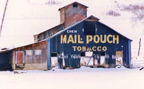
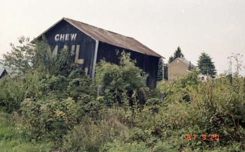
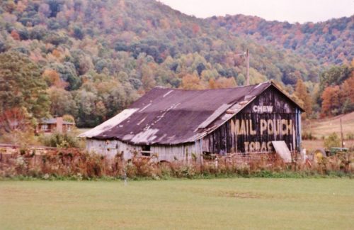
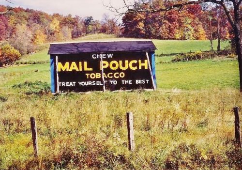
US-219/WV-55 south of US-250/WV-92 by about 3.5 miles. The barn is on the right side of the highway headed south. The Mail Pouch sign faces southeast. One end. black background.
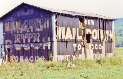
US Rt. 219/WV Rt. 55 south of US Rt. 250/WV Rt. 92 by about 6.2 miles. The barn is on the left side of the highway headed southwest. One end (MP sign faces northwest). One side (MP sign faces southwest). Black. Greatly faded.
US-219/WV-55 south of US-250 by about 8.7 miles. The barn is on the right side of the highway, on a hillside, in the distance, headed southeast. The Mail Pouch sign faces northwest. One side. Black background.
US Rt. 219/WV Rt. 44 north of the intersection with WV Rt. 15 by about 420'. The barn is on the left side of the highway headed north. The MP sign faces east. One side. Black.
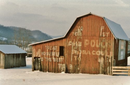
US Rt. 219 south of the Tucker Co. line by about 5.3 miles. The barn is on the right side of the highway headed south. One end. One side. Red. Greatly faded.
*GONE* Near Kerens. Between old US-219 and the Western Maryland RR tracks. One end. Black.
*GONE (fallen and removed)*US Rt. 219/WV Rt. 55, north WV 15, at Valley Head by about 1.2 miles. The barn was on the left side of the highway headed north. Two ends. Black.
*GONE* old US Rt. 33/US Rt. 119 intersection, north of Elkins. One end. Black.
*GONE* (razed and removed) Along the east side of Seneca Trail (WV-55/WV-92/US-219/US-250) south of Court St. intersection, in Beverly, by 1.9 miles. The barn was on the left side of Seneca Trail headed south from Beverly. The Mail Pouch barn south end faced on Scotts Lake Rd. One end. Black background.
*GONE* US Rt. 250/WV Rt. 92 south of US Rt. 219 intersection, in Huttonsville, by 2.2 miles. The barn was on the right side of the highway headed southeast from Huttonsville. The MP sign faced northeast. One end Black.
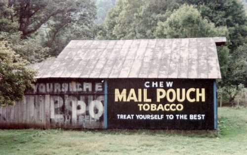
US Rt. 219/WV Rt. 55 south of US Rt. 250 by about 9.8 miles. The barn is on the left side of the highway headed south. Two ends. One side. black.
