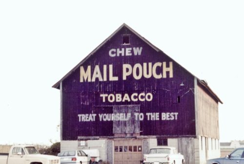
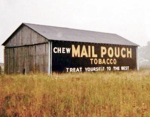
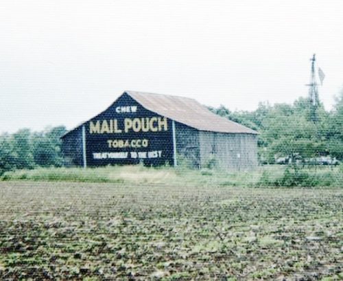
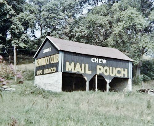
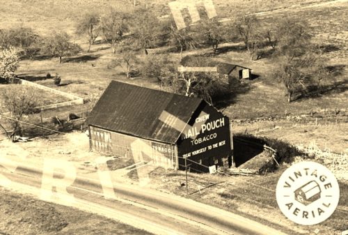
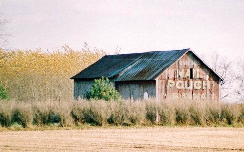
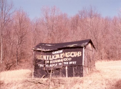
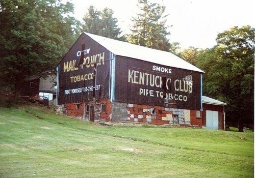
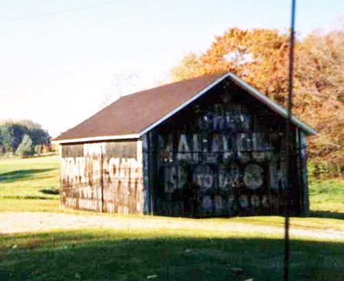
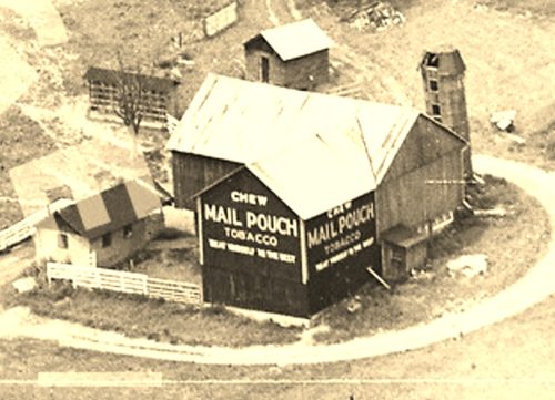
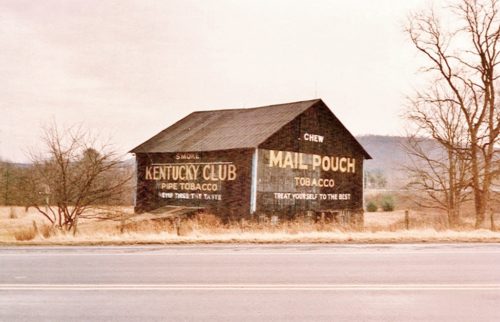
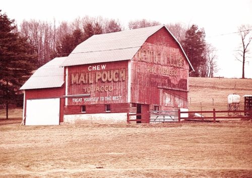
*GONE* US Rt. 42 northeast of OH Rt. 37 by about 2.4 miles. The barn was on the left side of the highway headed northeast. The MP sign faced southwest. The KC sign faced northeast. Two ends. Black.
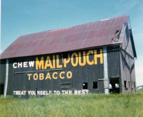
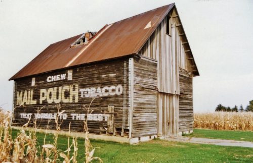
OH-37 southeast of OH-605 by about 2.3 miles. The barn is on the left side of the highway headed southeast. The Mail Pouch sign faces southeast. One side. Black. Roof extension and brush obscures the MP/KC sign.
*GONE (razed and removed)* OH Rt. 435/OH Rt. 729/Co. Hwy 35A (old US Rt. 35) east of I-71 by about 1.25 miles. Just east of the OH Rt. 729 intersection. The barn was on the left side of the highway headed east. The MB/KC sign faced west. The Mail Pouch end faced west. Two ends.
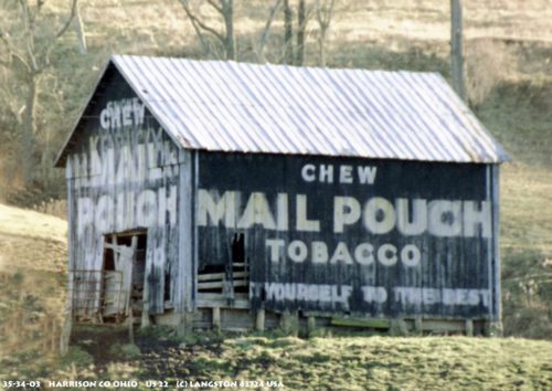
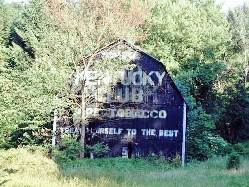
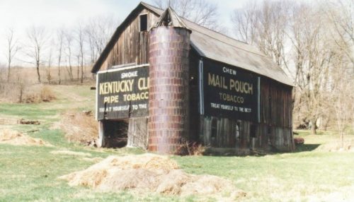
US-250 (Cadiz-Dennison Rd.), west of US-22 by about 3.7 miles. The barn is on the right side of the highway headed west. The Mail Pouch sign on the side faces south. The Kentucky Club sign on the end faces west. Black backgrounds.
US Rt. 22 (Cadiz-Piedmont Rd.), southwest of US Rt. 250 by about 5.5 miles. The barn is on the left side of the road headed south, just past the intersection with Slater Rd. One end. One side. Black.
*GONE (fallen and removed)* OH Rt. 180/OH Rt. 374 west of US Rt. 33 at Mt Olive Rd. North of the OH Rt. 180/OH Rt. 374 split by about 4.0 miles. The barn was on the left side of the highway headed west. The MP/KC signs faced west. One end. Black.
*GONE (fallen)* Along the north side of OH-43 west of the OH-152 intersection, In Richmond, by 4.8 miles. The barn was on the right side of the highway headed west from Richmond. Two ends. One side. Black Backgrounds.
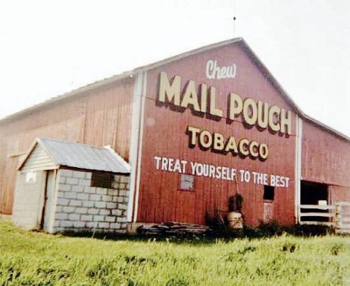
*GONE (razed and removed)* US Rt. 36/OH Rt. 3 (Columbus Rd.) southwest of OH Rt. 229 by about 3.6 miles. The barn was on the left side of the highway headed southwest. Two ends. Red.
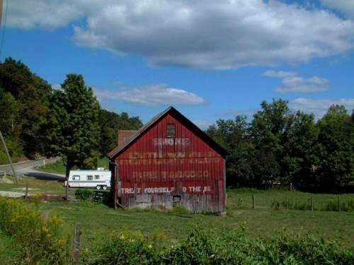
OH-13 (Jacksontown Rd.) north of US-40 by 2.4 miles and south of MPB 35-45-08 site by 1.9 miles. Directly across from Hirst Rd. (Co. Hwy. 310). The barn is on the left side of the highway headed north. One end Mail Pouch sign faces north. One side Kentucky Club sign faces east. Red backgrounds.
*GONE* Exact location not known. Two sides. Black Background.
*GONE* (razed and removed) Along the north side of OH-111 west of Williams St. intersection, in Paulding, by 8.6 miles. The barn was on the right side of the highway headed west from Paulding. Two sides. Mail Pouch sign on the west side. Onld Kentucky Club tobacco sign on the east side which was subsequently overpainted with a Mail Pouch sign. Black Backgrounds.
OH Rt. 155 (Sanders St.), east of OH Rt. 93 (2nd St.), in Shawnee, by about 4.0 miles. The barn is on the right side of the highway headed east. The MP/KC sign faces southwest. One end. Red. Greatly faded.
Along the southwest side of US-30 (Lincoln St. SE) southeast of Wood St. intersection, in East Canton, by 4.1 miles. The barn is on the right side of the highway headed southeast. The Mail Pouch sign faces northeast. The Kentucky Club sign faces southeast. One end (Kentucky Club). One side (Mail Pouch). Black Backgrounds.
*GONE* (faded away) Along the south side of US-224 west of US-30 by about 4.8 miles. The barn is on the left side of the highway headed west. Two ends. Mail Pouch with red background faces west. Kentucky Club with black background faces east.
*GONE* (fallen and removed) Along the east side of OH-278, north of US-50, in Prattsville, by 2.9 miles. The barn was on the right side of the highway headed north. The MP/KC sign faced west. One side. Black background.
Along the southeast side of Laurel Rd. The barn used to be visible from along the nothwest side of Dime Rd. (PA-66A); however, it is now shielded by a tree line. The barn is northeast of the Lincoln Ave. (PA-66) intersection, in Vandergrift, by about 2.8 miles. The barn is on the left side of Dime Rd. (PA-66A) headed northeast. The Mail Pouch sign end faces southwest. The Kentucky Club sign side faces southeast. One end. One side. Black backgounds.
*GONE* (remodeled) Along the northwest side of PA-66, north of 3rd St., in Leechburg, by about 2.7 miles. The NE end, SW end and SE side have all had Mail Pouch signs. It appears from the photos that only the SE side has had a Kentucky Club tobacco sign. Black backgrounds.
*GONE (fallen)* On PA Rt. 26 (Raystown Rd.) north of US Rt. 30 (Bud Shuster Byway.) by about 6.0 miles. To access the site head north from US Rt. 30, on PA Rt. 1007 (Old Sand Bank Rd.) to merge point with PA Rt. 26. The barn was on the left side of the highway headed north. MP end faced east. MP/KC side faced north. One end and one side. Black backgrounds.
*GONE* US Rt. 219 (Mahaffey Grampian Hwy.) south of Main St., in Grampian, by about 4.5 miles. Just north of the PA Rt. 969 (Lumber City Hwy.) intersection. The barn was on the left side of the highway headed southwest. One side (Kentucky Club) faced north. One end (Mail Pouch) faced west. Black.
*GONE (painted over)* PA Rt. 879 (Curensville Grampian Hwy.) northeast of US Rt. 219 (Main St.), in Grampian, by about 0.4 mile. The barn is on the left side of the highway headed northeast. One end. One side. Red.
