- [BAP] Battle Ax Plug (12)
- [BBC] Big Ben Cigars (1)
- [BCS] Baltimore Cigars (3)
- [BDB/BDS] Bull Durham (240)
- [BJT] Black Jack Tobacco (1)
- [BXC] Baxter Cigars (1)
- [CCB] Cubanola Cigars (2)
- [CCS] Charter Cigars (1)
- [CRC] Cremo Cigars (2)
- [DCC] Dry Climate Cigars (2)
- [DNT] Day & Night Tobacco (1)
- [FBC] Five Brothers Cigars (1)
- [GAC] General Arthur Cigars (4)
- [GCC] General Colfax Cigars (3)
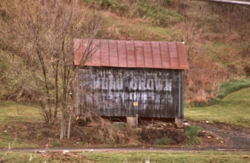
- [GRB] Gold River (1)
- [GRT] Grape Tobacco (1)
- [GTS] Greenback Tobacco (5)
- [HGC] Henry George Cigars (45)
- [HSS] Honest Scrap (19)
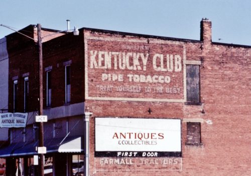
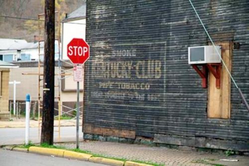
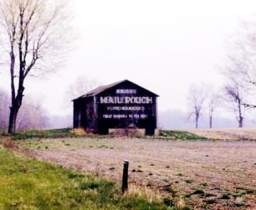
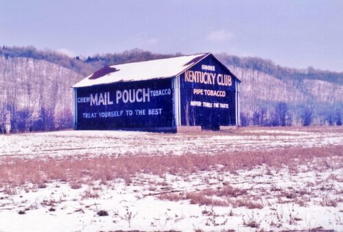
- [KCS/KCB] Kentucky Club (57)
- [LCS] Lovera Cigars (1)
- [LTS] Liberty Tobacco (1)
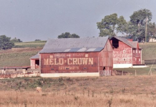
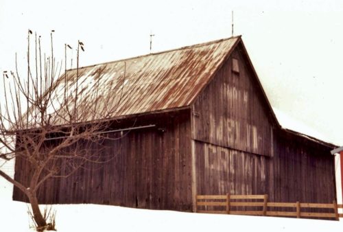
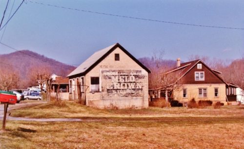
- [MCB/MCS] Melo Crown (31)
- [MOC] M & O Cigars (5)
- [MWS] Marsh Wheeling Stogies (1)
- [OHB/OHS] Old Hillside (8)
- [OLB] Old Loyalty (1)
- [OWL] Owl Cigars (76)
- [PTS] Partner Tobacco (1)
- [RJR] RJ Reynolds (2)
- [RMB/RMS] Red Man (13)
- [SCT] Silver Cup Tobacco (0)
- [SFC] San Felice Cigars (1)
- [STR] Star Tobacco (7)
- [STS] Sensation Tobacco (1)
- [TMC] Tom Moore Cigars (6)
- [WCS] Webster Cigars (1)
- [WOW] WOW Tobacco (38)
OH Rt. 31 (Main St.) at the intersection with the RR tracks, in Mt. Victory. On the right side of the street just crossing the RR tracks. The KC sign faces southeast toward the tracks. One side. Brick building. Black Barckground.
*GONE* (razed and removed - July 2019) Southwest corner of Jacob St. & 40th St., in Wheeling. The building (an old bar) was on the right side of 40th St. headed from Water St. toward Jacob St. The KC sign faces north. One side. Three story, wood frame building formerly used as a bar. Original Black Background.
Southwest corner of 1st Avenue South & Yesler Way intersection, in Seattle. The Lovera Cigar sign faces north. One side. Four-story masonry and brick building. Brown. Greatly faded.
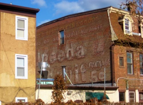
Southwest corner of NY Rt. 375 (Raymond Ave.) & Main St., in Arlington. The LT sign faces west. One side. Brick building. Brown. Greatly Faded and overpowered by a Uneeda Biscuit sign.
Old US Rt. 33 south of US Rt. 50 by about 5.0 miles. South of Twp. Hwy 64 (Hawks Nest Rd.) by about 400'. The barn is on the right side of old US Rt. 33 headed south. The sign faces southeast. One side. Black. Greatly faded.
*GONE* (razed and removed) Along the east side of OH-7 (N. Main St.) south of OH-681, in Tuppers Plains, by about 1.5 miles. The barn was on the left side of the highway headed south.The Melo Crown sign faced south and it was very difficult to make out the 'Melo Crown' wording. One end. Black Background.
OH Rt. 550 southeast of OH Rt. 555 by about 4.4 miles. The barn is on the right side of the highway headed southeast. One side. Red.
(This sign may be totally faded away) Along the northwest side of Guys Mill Rd. (PA-27) east of PA-77 (Hickory St.), in Meadville, by about 13.8 miles; and, west of PA-8 (Spring St.) in Titusville, by about 12.5 miles. The barn is on the north side of the highway. The Melo Crown sign faces northeast. One end. Black Background. Greatly faded.
*Gone* (razed and removed) Along the southeast side of Elk River Rd. N (US-119), southwest of WV-4 junction, in Clendenin, by about 6.5 miles. The building was on the left side of the highway headed southwest. The Melo Crown sign faced southwest. One end. Black background.
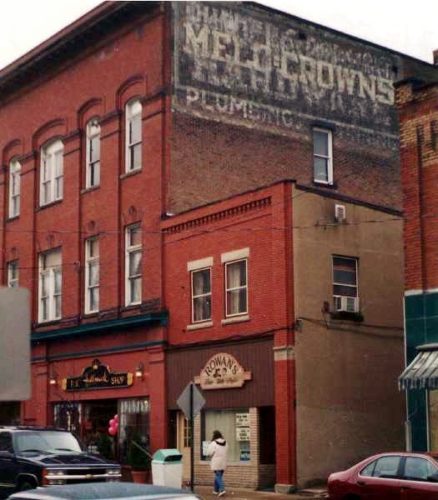
Along the west side of S. Broad St. (PA-173/PA-208, in Grove City, north of College Ave. intersection by about 190'. The three-story brick building is on the left side of S. Broad St. headed north from College Ave.The Melo Crown sign faces north. Three-story brick building. Black Background. Greatly faded.
Northwest corner of Broad St. & W. Bailey St., in Globe. The M & O Cigar sign is on the northwest wall of the building. One side. Two story brick building. Original Red background.
Southeast corner of I-94 business (Main St.) & S 5th St. intersection, in Miles City. The MOC sign faces Southwest. One side. Two-story brick building. Pinkish. Faded.
*Gone (painted over)* Northeast corner of I-94 business (Main St.) & N 8th St. intersection, in Miles City. Address is 801 Main St. (Silver Star Casino). The MOC sign faced southwest. One side. Masonry building.
S. 2nd St. between W. Lewis St. & W. Clark St., in Livingston. The two-story brick building is on the right side of the street headed southeast from W. Lewis St. toward W. Clark St. The MOC sign faces northwest. One side. Two-story brick building. Faded.
Lower main St., in Deadwood, northeast of the Wall St. intersection by about 415'. The two-story brick building is on the left side of the street headed northeast. The MOC sign faces southwest. One side. Two-story brick building. Brown. Greatly faded.
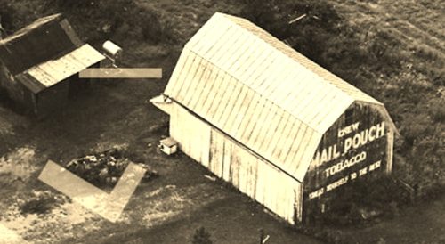
*GONE* (faded away and then painted over) Along the southwest side of Lancaster-Kirkersville Rd NW (OH-158) north of the intersection with Market St. (OH-256), in Baltimore, by 0.8 mile. The barn is on the left side of the road headed north from Baltimore. The Mail Pouch sign faced north. One end. Balck Background.
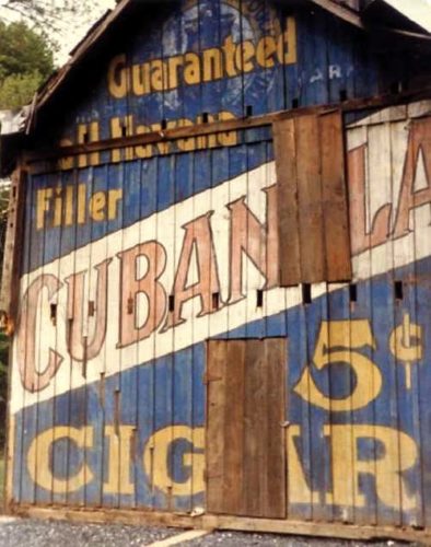
*GONE* PA Rt. 873 near Slatington. Had been painted over with a Cubanola Cigar sign.
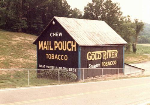
*GONE* OH Rt. 146 (Blue Bell Rd.) just south of the OH Rt. 146 & OH Rt. 672 junction. South of OH Rt. 821 (Marietta Rd.), in Pleasant City, by about 5.5 miles. The barn is on the left side of the highway headed southwest. The Northeast end was a Mail Pouch sign. The northwest side was a Gold River sign. Black.
*GONE* Along the west side of IN-101 south of IN-8 by about 2.6 miles. The barn was on the left side of the highway headed south from IN-8. The MP/KC signs faced south. One end. Black backgrounds.
*GONE* (fallen) Along the east side of IN-56 west of the Ferry St. intersection, in Vevay, by 10.5 miles. The barn was on the right side of IN-56 headed west from Vevay. Two sides (Mail Pouch) One southwest end (Kentucky Club). Black backgkrounds.
