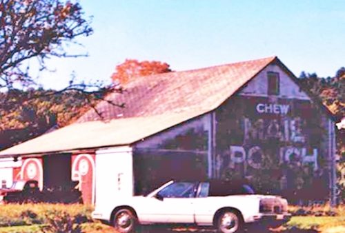
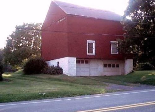
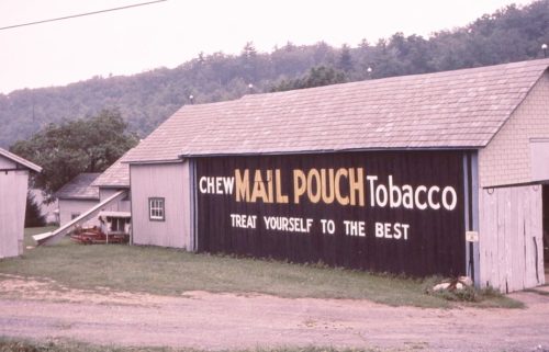
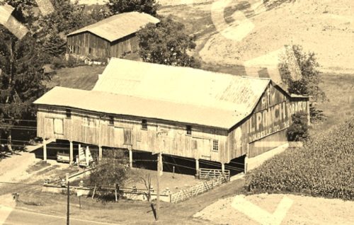
*GONE (Painted over)* On Limeport Pike (SR 2029), south of Local Rte. 39114 intersection, in Lanark, by about 2.7 miles. The barn is on the right side of the highway headed south. The Mail Pouch sign faced northeast.. Painted over with Ceresota Flour sign. Note in Photo 4 the word 'TOBACCO' is just beginning to bleed through below the word 'CERESOTA'. One end. Black Background.
*GONE (covered over)* PA Rt. 309 north of US Rt. 22 (Lehigh Valley Thruway); west of Allentown, by about 3.5 miles. The barn is on the left side of the highway headed northwest. The MP sign faced southeast. One end. Black.
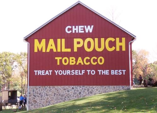
PA-143 (Kings Hwy.), at Ontelaunee Park west of New Tripoli by 0.5 miles. The entrance to the park is 0.5 miles west of the Madison St. (Rt. 4033)/Hoffman Ct. intersection in New Tripoli. After entering the park bear left. The barn is on the left side of the road. The Mail Pouch sign faces east. One end. Red background.
*GONE (painted over)* PA Rt. 100 south of PA Rt. 309 intersection, near Pleasant Corners, by 4.1 miles. The barn is on the left side of the highway headed south. The Mail Pouch sign faced west. One side. Black background.
*GONE* (razed and removed) Along the north side of old US-22 west of the PA-863 intersection by 2.1 miles. The barn was on the right side of the highway headed west. The Mail Pouch sign facerd east. One end. Black background.
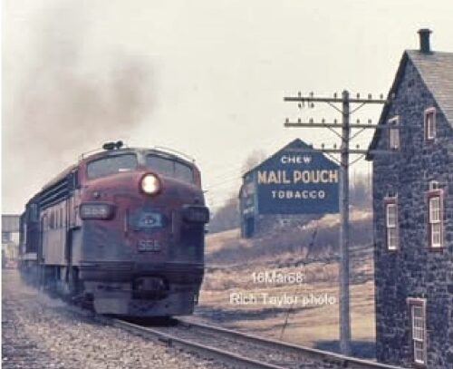
*GONE* (razed and removed) The barn would have been visible heading west from PA-873. Originally there was a road between the rear of the barn and the front of the house. The barn was facing right along the RR tracks. The tracks have been removed and replaced with a road (Paint Mill Rd). The was a Mail Pouch sign on the north end of the barn visible to the RR traffic and a Mail Pouch sign on the east side of the barn clearly visible from traffic on PS-873. Because of the barn configuration it is possible that there was a Mail Pouch sign on the south end of the barn. Black backgrounds.
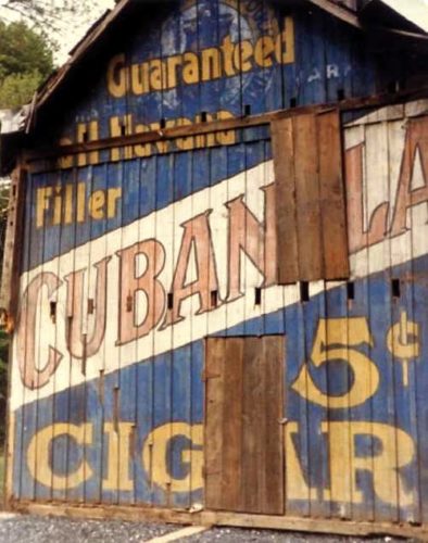
*GONE* PA Rt. 873 near Slatington. Had been painted over with a Cubanola Cigar sign.
*GONE (razed and stored)* PA Rt. 309, west of PA Rt. 100 by about 2.2 miles. The barn was on the left side of the highway headed west. The MP sign faced west. On a golf course (Old Homestead Golf Club). One end.
