Other Information
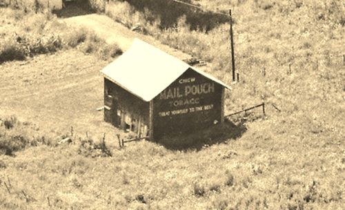
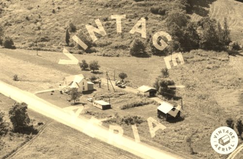
Photo 1 is an enlarged inset view from Photo 2.
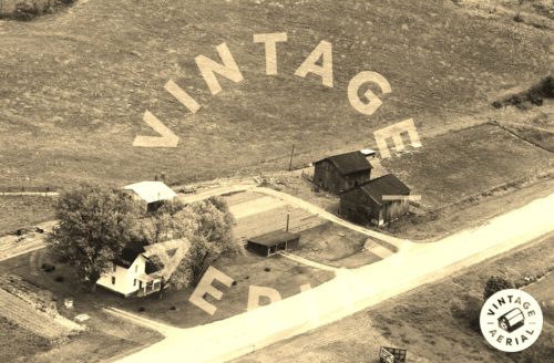
Photo 3 is a Vintage Aerial view of the site (1966) looking at the west end of the Mail Pouch barn, which is the barn at the upper right furthest from the highway.
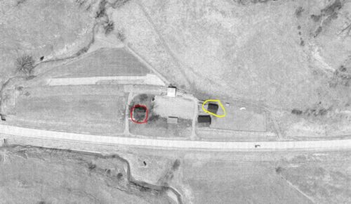
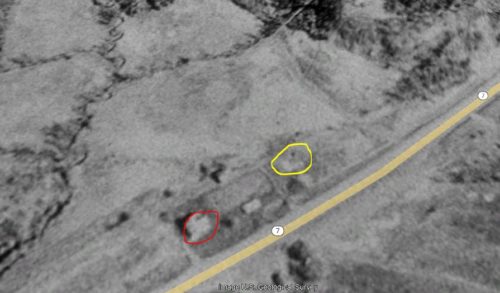
The Ohio dept. of Transportation aerial photo archves were used to locate this barn. In Photo 4 the Mail Pouch barn is circled in yellow. The house shown in Photo 2 is the only building still remaining on the site and is circled in red.
Photo 5 is a US Geological Survey satellite image of the site which hows that the barn was gone by April 3, 1988. The location of where the barn stood is circled in yellow. The house, still remianing is circled in red.
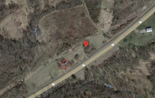
Photo 6 9Google satellite image) the location of where the Mail Pouch barn stood in notd by the red pin. The pin was used to determine the address and the coordinates. The house is circled in red.
Where to find it *GONE* (razed and removed) Along the northwest side of OH-7 south of OH-681 intersection, in Tuppers Plains, by 4.6 miles. The barn was on the right side of the highway headed southwest. The Mail Pouch sign faced northeast. One end. Black Background.
