MPB 35-53-09

Photo 1
Sides Painted
1
Color
Black
Structure
Barn
Unique Characteristics
None
Still Standing
No
Credits

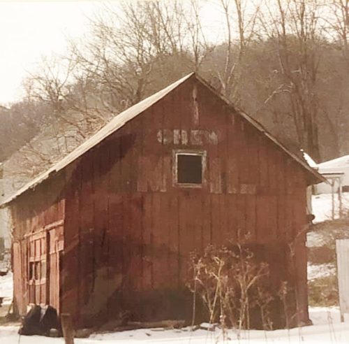
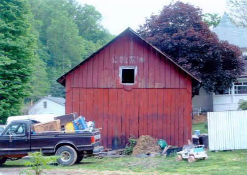
Photos 1 & 2 by Elmer Napier (ca. 1990's).

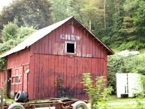
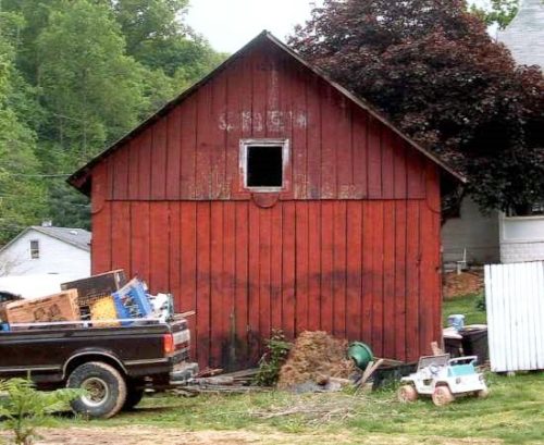
Photo 3 by Tim Hill (ca. 2005).

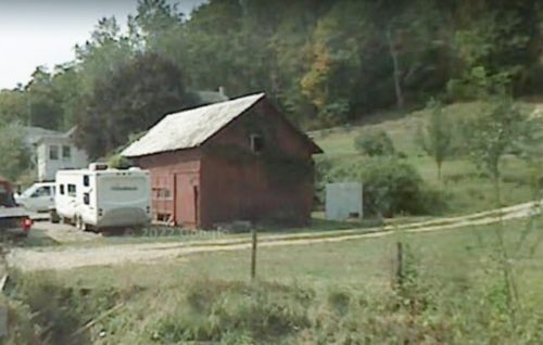
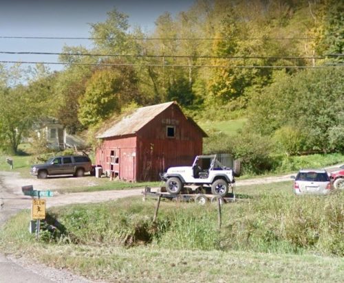
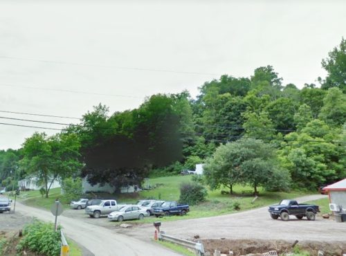
Photo 4 Google Earth street view (Sept. 2007).

Photo 5 by Jim Ross (Aug. 6, 2011).

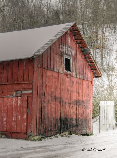
Photo 6 by Val Baldwin Carnell (Jan. 26, 2013).

Photo 7 Google street view (Oct. 2015).

Photo 8 Google street view (July 2018).
Other Information

Photo 8 (Google street view) dated July 2018 shows that the barn had been razed and the site cleared by that date.
Where to find it

*GONE* (razed and removed) Along the west side of OH-124/OH-833 north of the OH-124/OH-833 merge north at E. Main St., (east of Pomeroy) by 0.8 mile. The barn is on the left side of the highway headed north just passed Enterprise Rd. The Mail Pouch sign faced northeast. One end. Original Black Background.
Address
42190 T-198
City
Pomeroy
State
OH
Zipcode
45769
Country
USA
Latitude
N 39° 02.4362'
Longitude
W -82° 00.4894'
lat
39.040603
lng
-82.008157
  • Photo 2
  • Photo 3
  • Photo 4
  • Photo 5
  • Photo 6
  • Photo 7
  • Photo 8