MPB 38-17-03

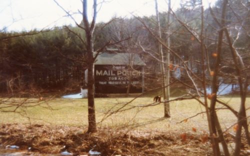
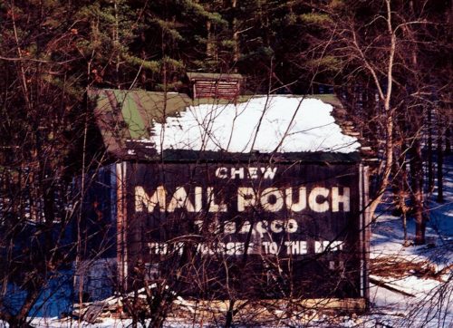
Photo 1
Sides Painted
1
Color
Black
Structure
Barn
Unique Characteristics
None
Still Standing
No
Credits
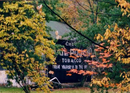
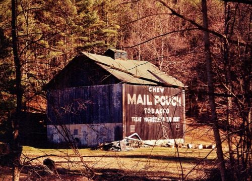
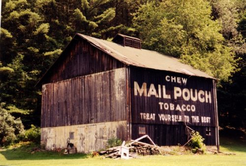
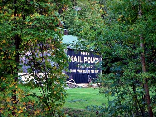
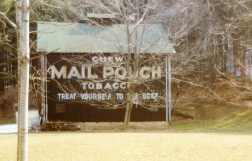
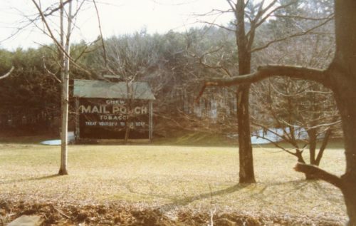
Photo 1-3 by Larry Zinn (Fall 1985) (contributed by Butch Moon).

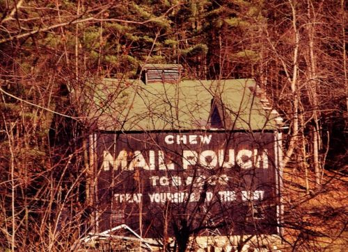
Photo 4 by Ryan Eash (Oct. 10, 1999). 

Photos 5 & 6 by Gyla Schnauffer (ca. Feb. 2000). 

Photo 7 by Gyla Schnauffer (Mar. 4, 2000).

Photo 8 by Lonnie Schnauffer (Aug. 2001)

Photo 9 by unknown. 

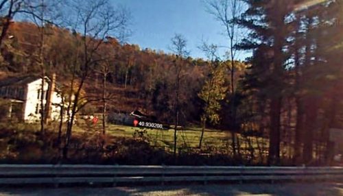
Photo 10 Google Earth street view (Nov. 2007).

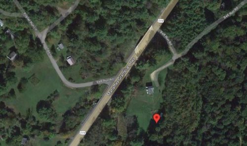
photo 11 Google satellite image.
Other Information

The red pin on Photo 11 is positioned at the center of the fallen barn. This pin was used to determine the address and the coordinates.

Photo 10 (Nov. 2007) is a view showing the barn rubble from US Rt. 219.

MPB 38-17-03 was across the road from where MPB 38-17-06 once stood.
Where to find it

*GONE* Along the southeast side of US-219 (Mahaffey Grampian Hwy.) south of Main St., in Grampian, by about 3.5 miles. North of PA-969 (Lumber City Hwy.) by about 1.0 mile. The barn was on the left side of the highway headed southwest from Grampian. The Mail Pouch sign faced northwest. One side. Black background.
Address
3 Bell Run Rd
City
Grampian
State
PA
Zipcode
16838
Country
USA
Latitude
N 40° 55.81'
Longitude
W -78° 38.75'
lat
40.93033891
lng
-78.645829
  • Photo 2
  • Photo 3
  • Photo 4
  • Photo 5
  • Photo 6
  • Photo 7
  • Photo 8
  • Photo 9
  • Photo 10
  • Photo 11