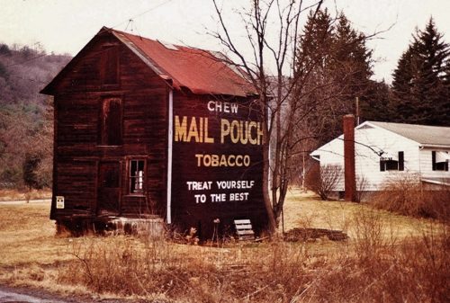
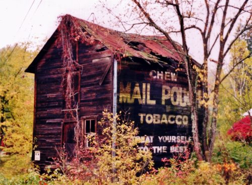
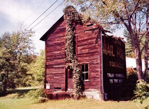
Credits Photo 1 by Dave and Mary Ann Shaver (Feb. 20, 1989).
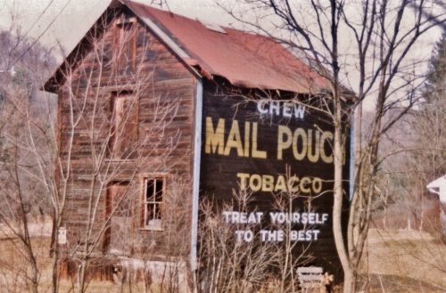
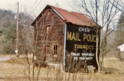
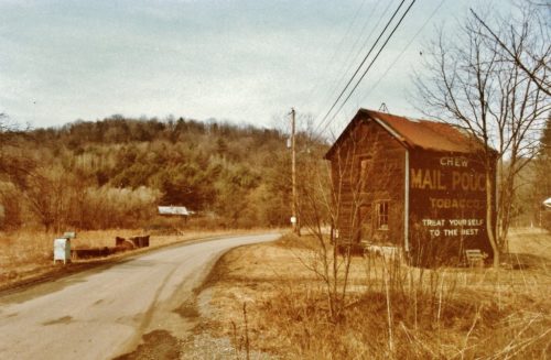
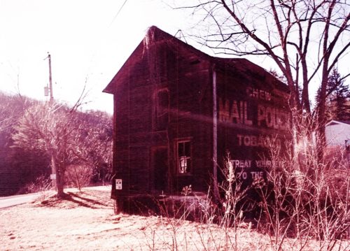
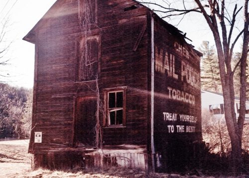
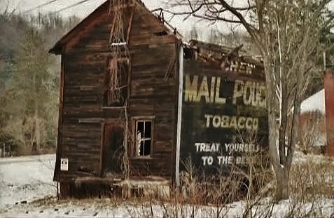
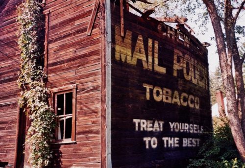
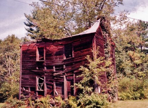
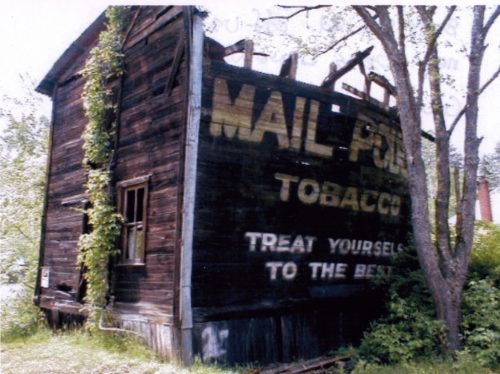
Photos 2-4 by Larry Zinn (c. 1985-90 - contributed by Butch Moon).
Photo 5 by Ryan Eash (Oct 10, 1999).
Photos 6 & 7 by Gyla Schnauffer (ca. Fall 1999).
Photo 8 by unknown (Dec. 1999).
Photos 9-11 by Gyla Schnauffer (Sept. 2000).
Photo 12 by Dave Tower (2001).
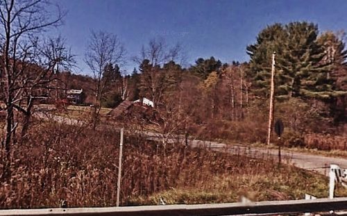
Photo 13 Google Earth street view (Nov. 2007).
Other Information
The barn was across the highway from MPB 38-17-03.
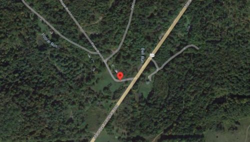
Photo 14 the red pin is the center of the barn rubble. The pin was used to determine the address and the coordinates.
Photo 13 (Nov. 2007) is a view of the barn rubble as seen from US Rt. 219.
Photo 11 is a view of the opposite side of the barn.
Where to find it *GONE (fallen)* On Bell Run Road (T461), just off of US-219 (Mahaffey Grampian Hwy.) To access Bell Run Rd., head south on US-219 about 3.5 miles from the intersection of Main St., in Grampian. Make right onto Bell Run Rd. the barn rubble is almost immediately on the right. One side. Black.
