- [BAP] Battle Ax Plug (12)
- [BBC] Big Ben Cigars (1)
- [BCS] Baltimore Cigars (3)
- [BDB/BDS] Bull Durham (240)
- [BJT] Black Jack Tobacco (1)
- [BXC] Baxter Cigars (1)
- [CCB] Cubanola Cigars (2)
- [CCS] Charter Cigars (1)
- [CRC] Cremo Cigars (2)
- [DCC] Dry Climate Cigars (2)
- [DNT] Day & Night Tobacco (1)
- [FBC] Five Brothers Cigars (1)
- [GAC] General Arthur Cigars (4)
- [GCC] General Colfax Cigars (3)
- [GRB] Gold River (1)
- [GRT] Grape Tobacco (1)
- [GTS] Greenback Tobacco (5)
- [HGC] Henry George Cigars (45)
- [HSS] Honest Scrap (19)
- [KCS/KCB] Kentucky Club (57)
- [LCS] Lovera Cigars (1)
- [LTS] Liberty Tobacco (1)
- [MCB/MCS] Melo Crown (31)
- [MOC] M & O Cigars (5)
- [MWS] Marsh Wheeling Stogies (1)
- [OHB/OHS] Old Hillside (8)
- [OLB] Old Loyalty (1)
- [OWL] Owl Cigars (76)
- [PTS] Partner Tobacco (1)
- [RJR] RJ Reynolds (2)
- [RMB/RMS] Red Man (13)
- [SCT] Silver Cup Tobacco (0)
- [SFC] San Felice Cigars (1)
- [STR] Star Tobacco (7)
- [STS] Sensation Tobacco (1)
- [TMC] Tom Moore Cigars (6)
- [WCS] Webster Cigars (1)
- [WOW] WOW Tobacco (38)
*GONE (painted over)* E. 8th St., in Horton, east of Central Ave. by about 260'. Just west of US Rt. 159. The two-story brick building is on the left side of the street headed east. The OWL/HGC sign faced west. One side. Two-story brick building.
Lower Main St., in Deadwood, on the left side of the street just northeast of the Lee St. intersection. The OWL/HGC sign faces northeast. One side. three-story brick building. Brown. Greatly faded.
Southeast corner of US Rt. 2/US Rt. 395 (N. Browne St.) & W. Main Ave. intersection, in Spokane. The OWL/HGC sign faces west. One side. Three-story brick building. Brown. Greatly faded.
WI Rt. 32 (Main Ave.), in De Pere, just west of 3rd St. intersection. The two-story brick building is on the left side of Main Ave. headed west from 3rd St. toward 4th St. The PT sign faces west. One side. Two-story brick building. Brown. Greatly faded.
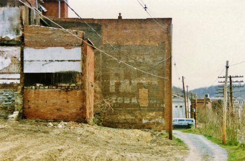
*GONE* (razed and removed) Along the south side of Latrobe St, in Grafton, east of Beech St. (US-119) by about 0.2 mile just before intersection with W. Main St. The brick building was on the right side of the street headed east. The RJR sign faced west. One side. Brick building. Unknown background color.
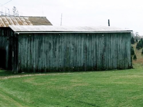
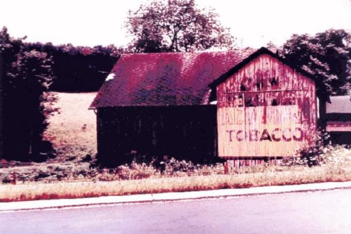
*GONE* (faded away) old Seven Rd., just south of OH Rt. 7, south of OH Rt. 681 by about 2.3 miles. The barn is on the right side of the road headed south. One side. Red Man Tobacco sign faced south. Unknown Background color.
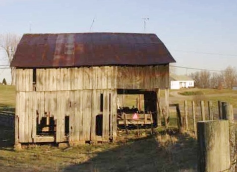
*GONE* (razed and removed) old Seven Rd., just south of OH Rt. 7, south of OH Rt. 681, in Tuppers Plains, by about 2.3 miles. The barn was on the left side of old Seven Rd. headed south. One side. Back Gound color unknown.
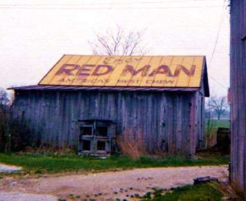
*GONE* US Rt. 30 (Old Lincoln Hwy.) east of OH Rt. 231 by about 0.5 mile. The barn was on the right side of the highway headed west. Roof. Yellow background.
*GONE* (faded away) US Rt. 220, south of Jersey Shore by 2.7 miles. West of US Rt. 15/US Rt. 220 split, in Williamsport, by about 9.8 miles. The barn is on the north side of the highway. The Red Man Tobacco sign faced southwest. One end. Yellow background.
PA Rt. 14, just south of Penbryn. South of E. Main St., Canton, by about 5.1 miles. The barn is on the left side of the highway headed southwest. The RM sign faces northeast. One end. Yellow with red and black letters.
530 E. Main St., in Blue Ridge. The brick building is on the left side of E. Main St. headed northeast. The building is almost directly across from the intersection of Messer St. Two sides. One sign background green (southwest wall). One sign background white (northeast wall). Brown brick walls. RM sign on northeast side greatly faded.
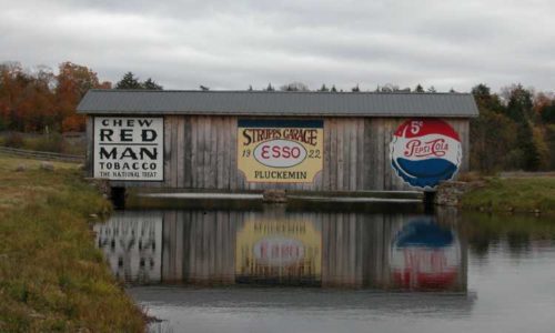
N. Osceola Rd./Clemens Rd. north of Co. Rt. 46 (Osceola Rd.), in Osceola by about 5.8 miles. The covered bridge is on the left side of the road. Two sides. White.
Northeast corner of S. 9th Ave. & S. C St., in Broken Bow. The SFC sign faces south. One side. One-story brick building. Red. Restored.
N. Main St. between W. Sevier St. & W. South St., in Benton. The one-story brick building is on the right side of the street headed south. The STR sign faces south. One side. One-story brick building. Brown. Faded.
4202 Folsom Ave, southwest corner of Folsom Ave. & Klemm St. intersection, in St. Louis. The Star sign faces west. One side. Two-story brick building. Brown. Greatly faded.
109 S. Ave. C, between Central Ave. & W. Austin St., in Elgin. From US Rt. 290/TX Rt. 109 (Main St.), head west on Central Ave. Make the first left onto S. Ave. C. The one-story brick building is on the left side of the avenue headed southeast. The Star sign faces northwest. One side. One-story brick building. Brown. Faded.
US Rt. 83 (S. 7th St.) southeast of US Rt. 67 (Hutchings Ave.), in Ballinger, by about 235'. The one-story masonry building s on the right side of the street headed southeast. The STAR sign faces northwest. One side of a one-story masonry building. Original black background.
*GONE (razed and removed)* Wood St. between Commerce St. & the RR tracks, in Marlin. To access from TX Rt. 7 (Live Oak St.) head southeast on Commerce St. and make the first left. The STAR sign faced southeast. One side. Brick building. The STAR sign was overpowered by a PIEDMONT Cigarette sign.
Pecan St. between E. 1st St. & N. Railroad St., in Hico. The two-story masonry building is on the right side of the street headed south from E. 1st St. toward N. Railroad St. One side. Two-story masonry building. White. Greatly faded.
1226 N. State St. between E. Holly St. & E. Chestnut St., in Bellingham. The three-story brick building is on the left side of the street headed southwest from E. Holly St. toward E. Chestnut St. One side. Three-story brick building. black.
