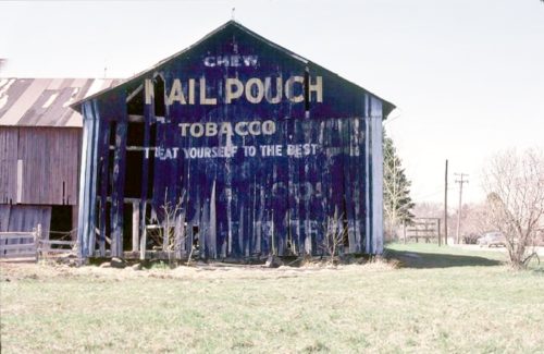
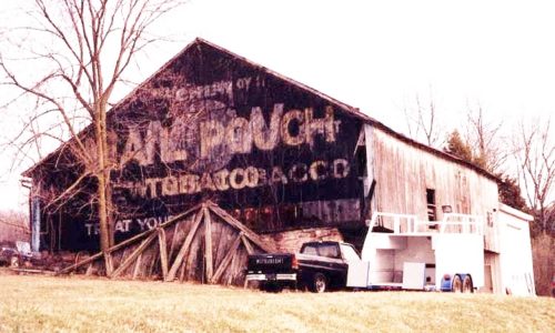
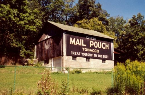
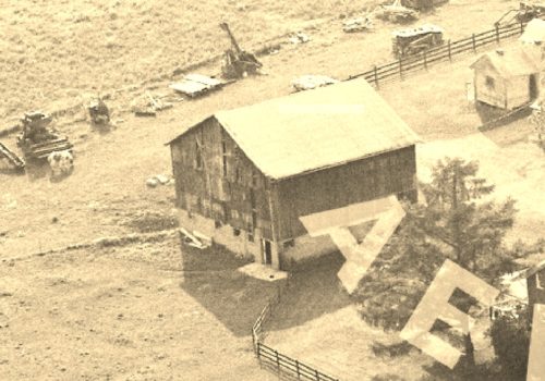
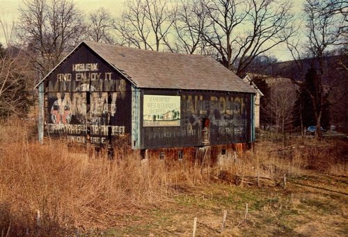
*GONE (razed and stored)* PA Rt. 309, west of PA Rt. 100 by about 2.2 miles. The barn was on the left side of the highway headed west. The MP sign faced west. On a golf course (Old Homestead Golf Club). One end.
*GONE* (razed and removed) Along the southwest side of Mercer Rd. (PS-58) southeast of the Main St. intersection, in Greenville, by 4.5 miles. The barn was on the right side of Mercer Rd. headed southeast our of Greenville. The Mail Pouch (WOW) sing faced southeast. One end. Black Background.
Swamp Creek Road west of Zieglerville. To access site; take PA-73 (Big Rd.) west from PA-29 (Gravel Pike) intersection, in Zieglerville. Follow about 0.5 mile to Swamp Creek Rd. Make left onto Swamp Creek Rd. and follow about 2.6 miles to the barn on the left side of the road. The Mail Pouch sign faces northeast. One end. Black background.
*GONE* (razed and removed) Along the northeast side of W. Juniata Pkwy. (TH-1015) southeast of the PA-17 (Sunbury St.) intersection, in Millerstown, by 1.6 miles. The barn was on the left side of the highway headed southeast. Sign faced northwest. One end. Black background.
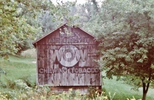
PA-403 (Whistler Road), southeast of PA-601, north of Hollsopple, by about 1.5 miles. The barn is on the left side of the highway headed southeast, just past the Boyd Dr. intersection. One end is WOW, one side is Mail Pouch. Black backgrounds.
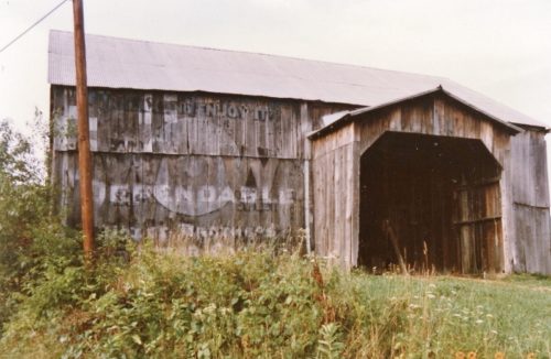
*GONE* (razed and removed) US Rt. 322 (Lakes to the Sea Hwy) northwest of PA Rt. 257 (Cranberry Rockland Rd.) intersection, in Cranberry, by about 0.7 mile. The barn was on the left side of the highway headed northwest. The MP/WOW sign faced southeast. One end. Black background.
North side of I-70, east of the WV state line by 3 miles. Barn is hidden by trees and brush most of the year. Can be seen from I-70 best during winter. Entry to the property is from US-40. Owner indicates the barn was built in 1870. Texaco signs also on end and side. One end and one side. Black backgrounds.
Along the west side of S. Calhoun Hwy/WV-16 south of WV-5 by about 1.6 miles. The barn is on the right side of the highway headed south. The Mail Pouch sign faces east. The WOW sign faces south. One end. One side. Black backgrounds. Greatly faded.
*GONE* (razed and removed) Along the east side of S. Calhoun Hwy (US-33/US-119/WV-16) east of the WV-16 junction, where WV-16 heads south (just east of Arnoldsburg) by about 1.3 miles. The barn was on the right side of the highway headed east. The MP/WOW signs faced west. One end. Black background.
*GONE* US Rt. 60 (Midland Trail) west of US Rt. 19 by about 2.2 miles. The barn was on the left side of the highway headed west. One end. Black.
*GONE* (razed and removed) Along the west side of McClellan HWY (WV-10) south of the intersection with McClellan St., in West Hamlin, by 1.1 mile. The barn was on the right side of McClellan Hwy headed south from West Hamlin. The Mail Pouch sign faced north. One end. Black background.
*GONE* (razed and removed) Along the northeast side of Lazzelle Union Rd (WV-100) north of Maidsville by about 0.2 mile. The barn is on the right side of the highway headed northwest. Two ends. Black backgrounds.
Along the northeastern side of Northwestern Tpk (US-50), east of the Wood Co. line by about 1.25 miles. The barn is on the left side of the highway headed southeast. The barn is not visible from US-50. Exit onto CR-50/46 and follow the road the barn will be visible on the left. The Mail Pouch/WOW tobacco signs faces southeast. One side. Black background. Greatly faded.
*GONE* (razed and removed) Along the southwest side of (WV-16) (S. Spring St.) south of Main St., in Harrisville, by 0.7 mile. The barn was on the right side of the street headed southeast. It was almost directly across the street from the Wigner Ave. intersection. Two ends. Blackgrounds.
*GONE* (razed and removed) OH-78 McConnelsville Rd.), west of I-77 (exit 25) by 3.7 miles. The barn was on the left side of the highway headed west. The WOW sign faced northwest. One end. Black Background.
*GONE* (painted over) Along the east side of Hunkadora Rd. (CR-40), west of the intersection with OH-821 (Marietta Rd.) by 0.4 mile and across from the intersection with CR-517 (Pine Lake Rd.). The barn is on the right side of Hunkadora Rd. headed north, shortly after passing under I-77. The WOW sign faced south. One side. Painted over.
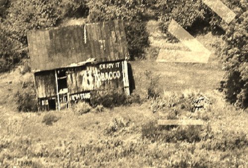
*GONE (razed and removed)* Along PA Rt. 21 (E. Roy Furman Hwy.) northwest of Crees Rd. intersection, in Khedive, by 0.7 miles. The barn was on the hillside along the right side of the highway. The WOW Tobacco sign faced south toward PA Rt. 21. One side. Black background.
*GONE (razed and removed)* 2nd St. (Rt. 19/40) south of Main St. intersection, in Sutton, by 175'. The building with the WOW sign was on the right side of the street headed south. The WOW sign faced south. One side. Two-story brick building. Original black background.

