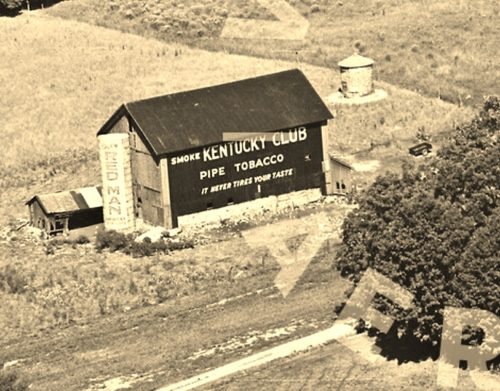
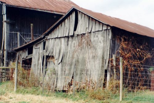
*GONE* (razed and removed) Along the north side of US-12 west of the US-12 & MI-103 intersection in Mottville by about 1.0 mile. Just west of the St. Joseph Co. line. The barn was on the right side of the highway headed west. The Kentucky Club sign faced east. The Red Man Tobacco sign on the silo faced southeast. One side. Original Black background for the Kentucky Club sign, Original White background for the Red Man sign.
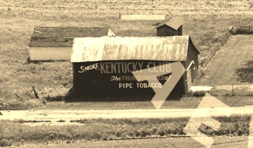
*GONE (razed and removed)* The barn faced on Twp. Rd-180 and was view along the southeast side of US-68, south of the intersection with W. Espy St (OH-67), in Kenton, by 3.8 miles. The barn was on the life side of the highway headed southwest from Kenton. A very faded Red Man Tobacco sign was originally on the barn which was subsequently overpainted with a Kentucky Club Tobacco sign. The signs face north. The original barckgrounds were black. One side.
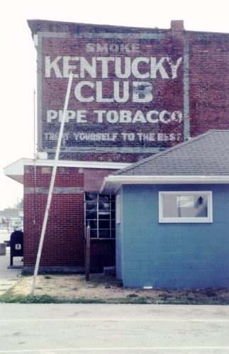
*GONE* (razed and removed for new Post Office building) At the southwest corner of the intersection of IN-5 (n. Jefferson St.) & Water St., in Cromwell. On the northeast side of the old post office. The Kentucky Club tobacco sign faced northeast. One side. Black background.
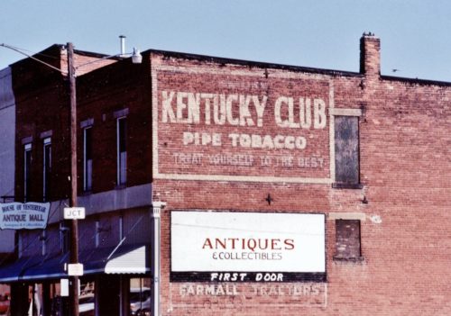
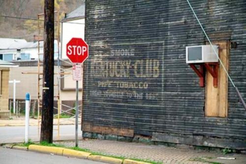
OH Rt. 31 (Main St.) at the intersection with the RR tracks, in Mt. Victory. On the right side of the street just crossing the RR tracks. The KC sign faces southeast toward the tracks. One side. Brick building. Black Barckground.
*GONE* (razed and removed - July 2019) Southwest corner of Jacob St. & 40th St., in Wheeling. The building (an old bar) was on the right side of 40th St. headed from Water St. toward Jacob St. The KC sign faces north. One side. Three story, wood frame building formerly used as a bar. Original Black Background.
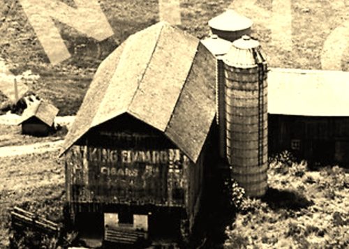
*GONE* (razed and removed) Along the north side of W. Fitchburg Rd. east of the S. Main St. intersection, in Leslie, by 0.8 mile. Note that W. Fitchburg Rd. is Mill St. within the Leslie city limits. The barn was on the left sie of W. Fitchburg Rd. headed east out of Leslie. The King Edward Cigar sign faces east. (see 'Other Information'). The original background color is unknown but probably black.
Southwest corner of 1st Avenue South & Yesler Way intersection, in Seattle. The Lovera Cigar sign faces north. One side. Four-story masonry and brick building. Brown. Greatly faded.
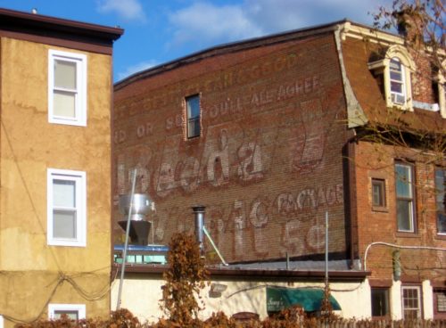
Southwest corner of NY Rt. 375 (Raymond Ave.) & Main St., in Arlington. The LT sign faces west. One side. Brick building. Brown. Greatly Faded and overpowered by a Uneeda Biscuit sign.
Owned by the owner of MPB 38-05-03, in Bedford Co, PA.
GPS coordinates for the barn:
N 39° 52.37' W -78° 33.88'
Cr18 [Tallmadge Rd] West of St Rt 44 by .8 miles on south side Portage Co - Ohio
At the Washington Co. PA Meadowcroft Museum
Belmont Co, OH
Twp. Hwy. 206 (41821 Palmer Rd.) west of OH Rt. 149 (Belmont Morristown Rd.) by about 1000'. On right side of road headed west from OH Rt. 149. Two sides. Dog House. Red.
Latitude °
40° 02.01'
Longitude °
-81° 02.79'
Located in Barrow Co. GA - in Winder at 714 Russel Ridge Rd
Litchfield, OH
Coshocton Co, OH
Twp. Hwy. 284 west of Twp. Hwy. 347 by about 1.0 mile. The dog house is on the right side of the road headed west. The MP sign faces south. One side. Dog House. Black.
Latitude °
40° 13.26'
Longitude °
-81° 53.54'
One of the outhouses at Washington-Greene counties (PA.) covered bridge festival, 2002. It was at the second covered bridge SW of East Finley township hall, off PA. 231, S of mile 6 Interstate 70.
Jackson Co Michigan, near Springport on Gibbs Rd, about 5 miles north of I-94
Old US Rt. 33 south of US Rt. 50 by about 5.0 miles. South of Twp. Hwy 64 (Hawks Nest Rd.) by about 400'. The barn is on the right side of old US Rt. 33 headed south. The sign faces southeast. One side. Black. Greatly faded.
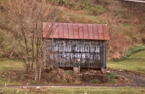
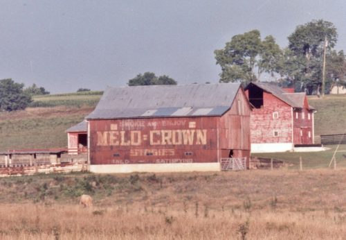
*GONE* (razed and removed) Along the east side of OH-7 (N. Main St.) south of OH-681, in Tuppers Plains, by about 1.5 miles. The barn was on the left side of the highway headed south.The Melo Crown sign faced south and it was very difficult to make out the 'Melo Crown' wording. One end. Black Background.
OH Rt. 550 southeast of OH Rt. 555 by about 4.4 miles. The barn is on the right side of the highway headed southeast. One side. Red.
