*GONE (covered over)* Southwest corner of W. Market St. (old Rt. 209) & S. West St., in Williamstown. The BD sign faces east. One side. Two-story brick building. Brown. Greatly faded.
*GONE* (faded away) Along the northwest side of Berrysburg Rd. (PA-25) northeast of the intersection with State St., in Millersburg, by 2.0 miles. The barn is on the left side of the road headed northeast out of Millersburg. The Kentucky Club sign faced southwest. One end. Red background.
*GONE (torn down in 2003)* US Rt. 322 (Paxton St.) west of Hummelstown & Indian Echo Caverns exit, at Hummelstown, by about 1.7 miles. The barn was on the left side of the highway headed west. Two ends. Black. Greatly faded.
State Rt. 4014 (Million Dollar Rd.) To access the barn site from US Rt. 22/US Rt. 322, head northeast on PA Rt. 147 (S. River Rd.) for about 3.7 miles to Million dollar Rd. Make right onto Million Dollar Rd. and travel 0.2 mile to the barn on the right side of the road. The MP sign faces north. One end. Black.
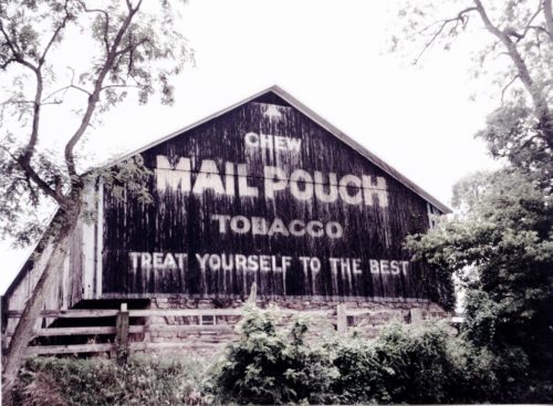
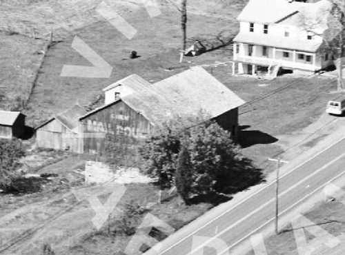
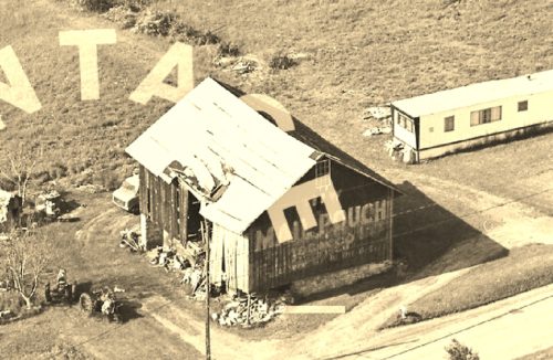
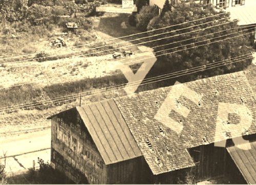
*GONE (razed and removed)* Along the south side of US-209 west of Oakdale Station Rd. intersection, in Loyalton, by about 0.4 mile. The barn was on the left side of the highway headed west. The Mail Pouch sign faced east. One end. Black background.
*GONE* (razed and removed) Along the south side of W. Market St. west of Water St. intersection, in Williamstown, by 0.7 mile. The barn was on the left side Of Market St. headed west out of Williamstown. The Mail Pouch sign faced north. One end. Black background.
*GONE* (razed and removed) Along the southeast side of Jonestown Rd. northeast of the Bow Creek Rd. intersection, in Grantville, by 0.2 mile. The barn was on the right side of the road headed northeast from Bow Creek Rd. The Mail Pouch sign faced southwest. One end. Black background.
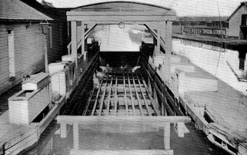
*GONE* Pennsylvania Canal Weigh Lock, in Harrisburg. One side. Black.


