Other Information
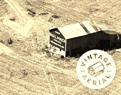
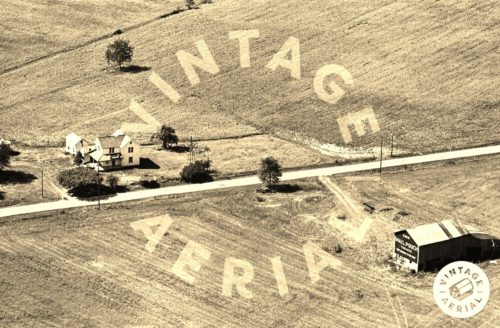
Photo 1 is an enlarged inset view from Photo 2.
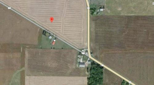
The exact location of the barn was determined using Historic Aerials' distance measurement tool which puts the decimal coordinates of the barn at the center of the barn. These coordinates were then entered into the Google map program. The red pin in Photo 3 is the exact center of where the Mail Pouch barn once stood This pin was used to determine the address and the directions.
In reviewing available historic aerial imagery and Ohio Dept. of Transportation aerial photo archives it appears that this barn had been razed and removed and the site returned to farming use prior to 1980.
Where to find it *GONE* (razed and removed) Along the west side of OH-37 southeast of the Mary St. intersection, in Forest, by 3.3 miles. The barn was on the right side of the highway headed south. The Mail Pouch sign faced southeast. One end. Black background.


