Credits
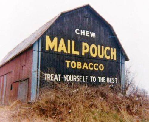
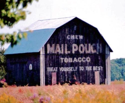
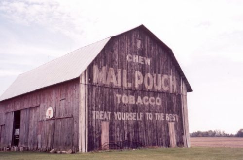
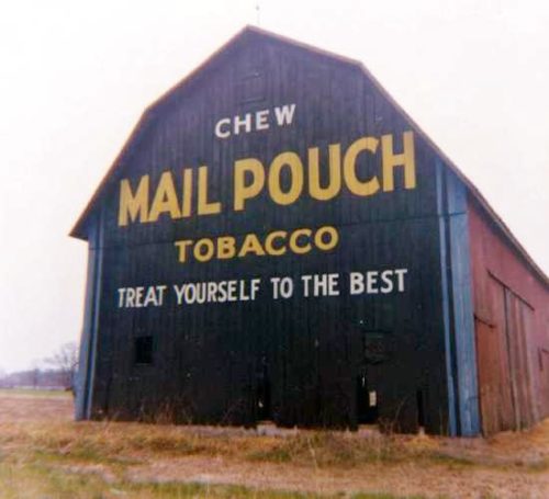
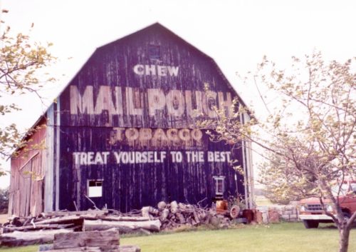
Photos 1 & 7 by Myron Huffman (ca. early 1970's).
Photos 6 & 10 by unknown.
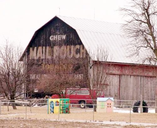
Photos 7 & 9 by Gyla Schnauffer (Oct. 2001).
Photo 11 by David Spring (Nov. 24, 2006).
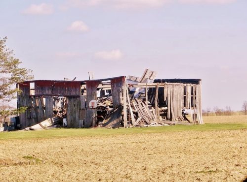
photo 12 by Martha Dougherty (May 6, 2014).
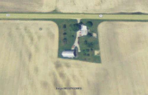
Photo 13 USDA/RPAC/GEO image (Dec. 31, 2009).
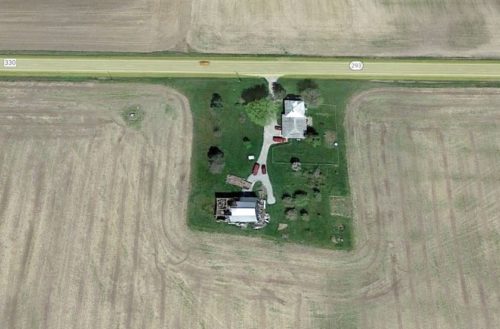
Photo 14 Google satellite image (Apr. 2012).
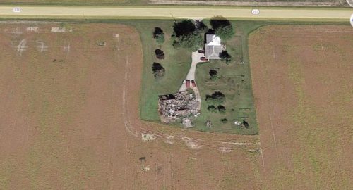
Photo 15 Google satellite image (Sept. 2015).
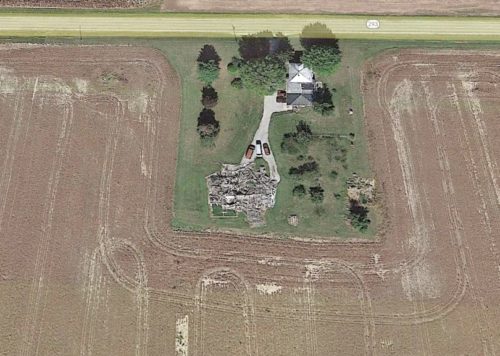
Photo 16 Google satellite image (Sept. 2021).
Other Information
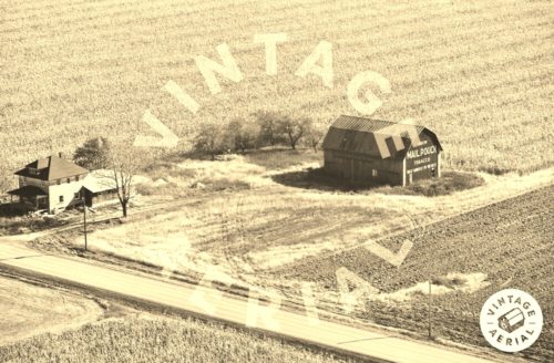
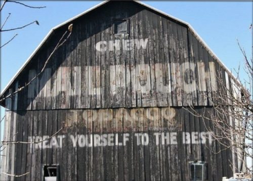
Photos 1-7 are views of the west end of the barn.
Photos 8-11 are views of the east end of the barn.
Photo 12 is a view of the collapsed barn.
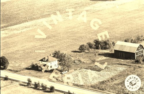
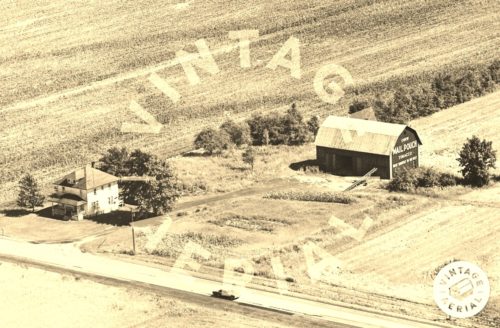
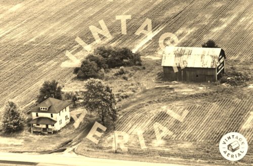
Photos 13-16 are views showing the progression of the barn collapse.
Photo 11. David Spring only submitted a view of the east end of the barn. The date of the photo is Nov. 2006 so the east end collapse must have already started by that date; otherwise there would have been a photo of that end.
Where to find it *GONE* (fallen) Along the south side of OH-293 (Lincoln Hwy.) west of the N. Warpole St. intersection, in Upper Sandusky, by 7.2 miles. The barn was on the left side of the highway headed west from Upper Sandusky. Two ends. Black backgrounds.
