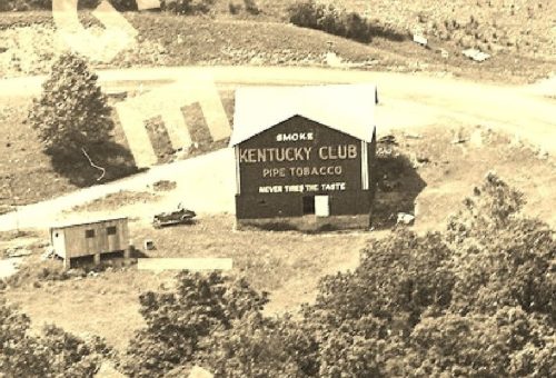
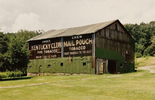
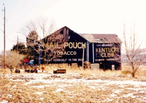
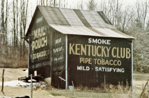
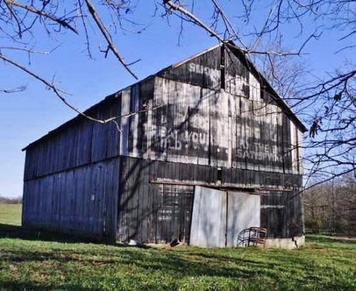
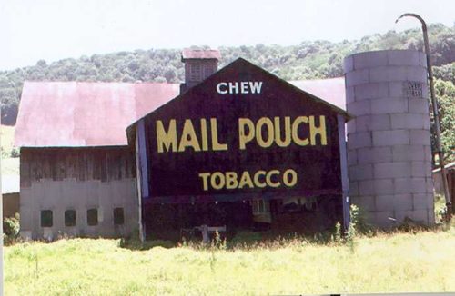
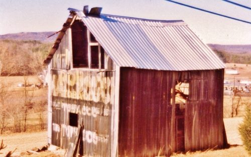
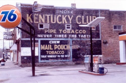
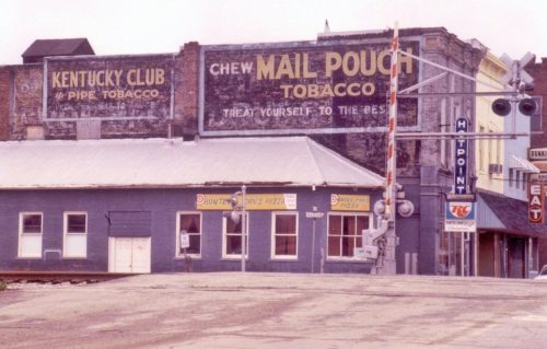
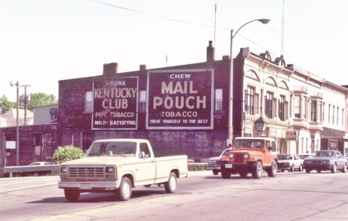
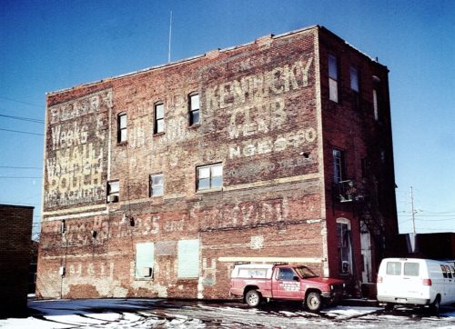
*GONE (faded away)* US Rt. 522 (Great Cove Rd.) southwest of US Rt. 30 (Lincoln Hwy.) by 11.5 miles. The barn is on the left side of the highway. One end (Kentucky club) faced southeast; and one side (Mail Pouch) faced southwest. Red backgrounds.
*GONE (razed and removed)* PA Rt. 56 east of US Rt. 119 (Buffalo-Pittsburgh Hwy.), in Homer City, by about 2.5 miles. The barn is on the left side of the highway headed northeast. One end MP sign faces southwest; and one side MP sign and KC sign faces southeast. Black.
*GONE* (razed and removed) Along the northwest side of Parkersburg Rd. CR-21/old US-21) south of the Wirt Co. line by about 9.5 miles. The barn is on the right side of the road headed southwest. Two ends. Black backgrounds.
Along the southeast side of Ripley Rd. (WV-2) east of Viand St., in Point Pleasant by about 6.3 miles. The barn is on the right side of the highway headed east. Mail Pouch sign on the northwest side and on the northeast end. Kentucky Club sign on the southwest end. Black backgrounds.
Along the south side of Fort Gay Rd. (WV-37) west of WV-152 by 1.8 miles. The barn is on the left side of Fort Gay Rd. (WV-37) headed west. East end Kentucky Club sign. West end and north side Mail Pouch signs. Black backgrounds.
Along the north side of OH-141 northeast of the intersection with Neds Fork Rd (CR-53) in Kitts Hill, by 2.5 miles. Just before the intersection with Twp. Rd. (Union Church - Lodge Ridge Rd.). On the left side of the highway headed east. Just past the Union Baptist Church at the 9 1/2 mile marker. Signs face south. One side. Black Background & 2 by unknown .
*GONE* (razed and removed) Along the southwest side of N. Pike Rd. (PA-356) northwest of PA-28 (Allegheny Valley Expy.) by about 7.0 miles. The barn was on the left side of N. Pike Rd. headed northwest. The site is almost directly across from the Cooper Rd. intersection. The Mail Pouch end and the KC/MC side faced northwest. One end (MP). One side (KC/MC). Black backgrounds.
US Rt. 219 (Mahaffey Grampian Hwy.) south of Main St., in Grampian, by about 1.2 miles. North of PA Rt. 969 (Lumber City Hwy.) by about 3.4 miles. The barn is on the southeast side of the highway. North east end Mail Pouch/Kentucky Club/Melo Crown. Southwest end Mail Pouch. Northwest side Kentucky Club. Black.
*PARTIAL GONE* (East end painted over) US Rt. 50 est of Rainsboro by about 1.5 miles. The barn is on the right side of the highway headed east. Two ends (east and west). One side (south). Black. Greatly faded.
PA-281 (Kingwood Drive), northeast of PA-281 (Casselman St.)/PA-523 (Oden St.) intersection, in Confluence, by about 3.1 miles. The barn is on the right side of the highway headed northeast. Two ends. Black backgrounds.
*GONE (fallen)* Along the southeast side of Northwestern Pike (US-50/WV-28) northeast of US-220 intersection by about 3.0 miles. The barn was on the right side of the highway headed northeast. Two ends. Black backgrounds.
*GONE* (razed and removed) Along the west side of S. Main St. (IN-38), in Sheridan, south of the intersection with W. 4th St. by 220' The masonry building was on the right side of S. Main St. headeded south from W. 4th St. The Mail Pouch & Kentucky Club signs faced north. One side. Black backgrounds.
*GONE* (sandblasted away) South corner the IN-167 (S. Main St.) & E. Railroad St. intersection, in Dunkirk. The brick building is on the right side of Main St. headed northeast through town toward the RR tracks. The Mail Pouch and Kentucky Club signs faced northeast. One side. Black backgrounds.
*GONE* (painted over) Along the east side of N. Main St., in Kendallville, between E. Mitchell St. & E. Harris St., just south of the RR tracks by 300'. The Mail Pouch/Kentucky Club signs faced north. One-story brick building. One side. Original black backgrounds.
*GONE* (painted over) Along the east side of Main Ave. between 3rd St. & Bridge St., in Aliguippa. The two-story brick building is on the right side of Main Ave. headed north from 3rd St. toward Bridge St. Two sides. The Kentucky Club sign was on the side facing north and the Mail Pouch sign was on the side facing south. The building was the home of the Rossi Winery & Restaurantwhich is now permanenty closed!
S. 1st Ave. south of PA-77 (W. Main St.), in Corry, by about 180'. The three-story brick building is on the left side of S. 1st Ave. headed south from W. Main St. The MP/KC signs face south. One side. Three-story brick building. Original black background but multi-colored. Greatly faded.
*GONE (razed and removed)* Along the west side of Midland Trail W (US-60) north of the I-64 interchange by about 2.5 miles. The building was on the left side of the highway headed north. The Mail Pouch sign faced north. One side. Black Background.
