Other Information
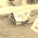
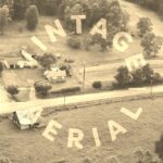
Photo 3 is an enlarged inset view from Photo 4.
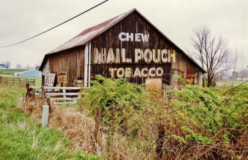
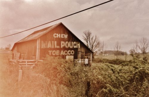
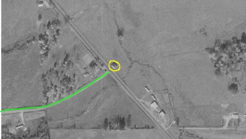
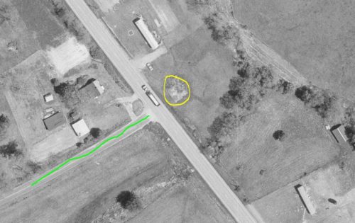
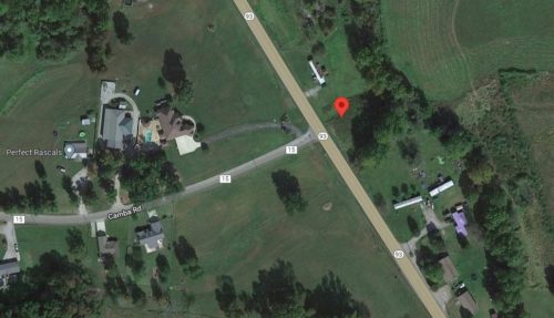
Information on the back of the two Larry Zinn photographs gave an approximate location of the barn's location. The Ohio Dept of Transportation aerial photo archives were used to determine the exact location. Photos 6, 7 & 8 coordinate the location. In Photos 6 & 7 the Mail Pouch barn is circled in yellow. Camba road is designated by the lime marking. Note, in Photo 7 (May 22,1997) the barn had been razed and removed and the site cleared. Photo 8 (Google satellite image) the red pin indicates the location of the barn. The pin was used to determine the address and coordinates. Camba Rd is clearly ID'd in this Photo.
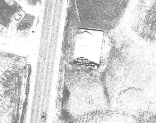
It is interesting to note that in Photo 5, which is a magnified view of the southeast end of the barn (Apr.8, 1994) and the condition of the Mail Pouch sign is in excellent condition compared to the condition of the sign in the two phtos taken by Larry Zinn in Apr. 1990. Apparently the end of the barn had been repaired and the Mail Pouch sign restored after Zinn's photos. Why would the barn be razed and removed within less than 4 years after the restoration? Possibly wind damaged or maybe fire. - Unknown.
Where to find it *GONE* (razed and removed) Along the northeast side of OH-93 south of OH-124, in Jackson, by 5.8 miles. The barn was on the left side of the highway headed southeast from Jackson. Directly across the hgihway from the Camba Rd (TH-15) intersection. The Mail Pouch sign faced southeast. One end. Black background.
