MPB 35-10-22

Photo 1
Sides Painted
1
Color
Black
Structure
Barn
Unique Characteristics
None
Still Standing
No
Credits

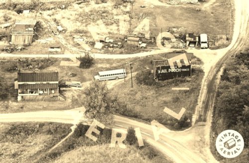
Photos 1 & 2 by unknown VA # 99-JCA-5 (1970) courtesy of Vintage Aerial

Photo 3 by unknown ODOT # 10614-54102-34 (Mar. 1, 1988) courtesy of Ohio Dept. of Transportation).

Photo 4 Google sattelite image (ca. 2020).

Photo 5 Google street view (Sept. 2018).
Other Information

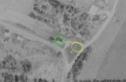
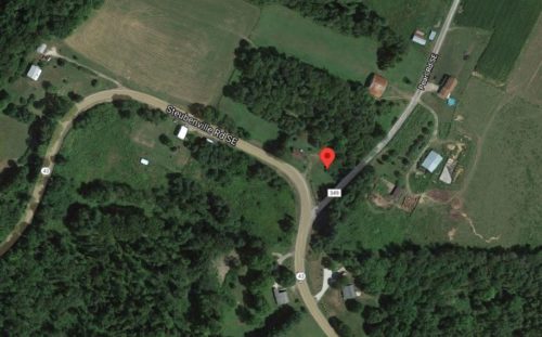
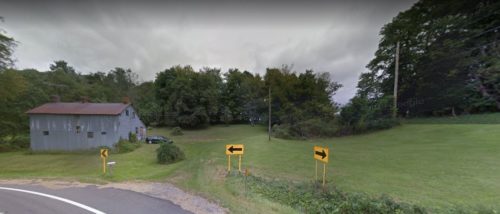
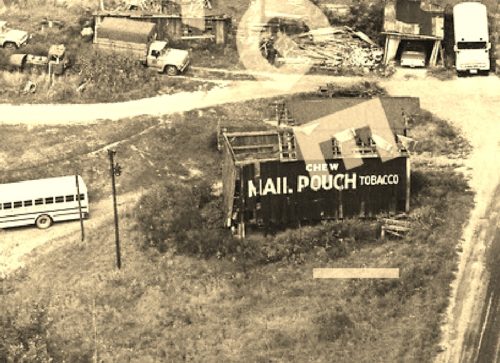
Photo 1 is a 1970 aerial photo. The barn is in a falling down condition, with a portion of the roof already gone. In Photo 2, an aerial photo taken 18 years later the barn is circled in 'Yellow'. The view is from a high altitude and the definition is not good; however, the barn is visible and is in a fallen down condition or it is a view of the remaining foundation. The house to the left of the barn, in Photo 1, is circled in 'Lime' in Photo 2. The house is still remaining (with notable changes) and visible in the Google satellite image (Photo 3) and the Google street view (Photo 4).

Where to find it

*GONE* (razed and removed) Along OH Rt. 43 (Steubenville Rd. SE) northwest of the intersection with Main St., in Amsterdam, by 3.0 miles. The barn was on the right side of the highway headed northwest. The Mail Pouch sign was on the south side of the barn. One side. Black background.,
Address
5156 Steubenville Rd SE (OH-43)
City
Amsterdam
State
OH
Zipcode
43903
Country
USA
Latitude
N 40° 29.9526'
Longitude
W -80° 58.0724'
lat
40.499210
lng
-80.967873
  • Photo 2
  • Photo 3
  • Photo 4
  • Photo 5