- [01] Barbour Co, WV (9)
- [02] Berkeley Co, WV (2)
- [03] Boone Co, WV (4)
- [04] Braxton Co, WV (7)
- [05] Brooke Co, WV (2)
- [06] Cabell Co, WV (8)
- [07] Calhoun Co, WV (6)
- [09] Doddridge Co, WV (3)
- [10] Fayette Co, WV (4)
- [11] Gilmer Co, WV (2)
- [13] Greenbrier Co, WV (5)
- [14] Hampshire Co, WV (7)
- [15] Hancock Co, WV (1)
- [16] Hardy Co, WV (0)
- [17] Harrison Co, WV (7)
- [18] Jackson Co, WV (12)
- [20] Kanawha Co, WV (6)
- [21] Lewis Co, WV (5)
- [22] Lincoln Co, WV (8)
- [23] Logan Co, WV (0)
- [24] Marion Co, WV (16)
- [25] Marshall Co, WV (14)
- [26] Mason Co, WV (12)
- [29] Mineral Co, WV (5)
- [31] Monongalia Co, WV (8)
- [32] Monroe Co, WV (1)
- [33] Morgan Co, WV (1)
- [34] Nicholas Co, WV (5)
- [35] Ohio Co, WV (16)
- [37] Pleasants Co, WV (3)
- [38] Pocahontas Co, WV (3)
- [39] Preston Co, WV (6)
- [40] Putnam Co, WV (4)
- [42] Randolph Co, WV (11)
- [43] Ritchie Co, WV (8)
- [44] Roane Co, WV (6)
- [46] Taylor Co, WV (14)
- [47] Tucker Co, WV (1)
- [48] Tyler Co, WV (4)
- [49] Upshur Co, WV (5)
- [50] Wayne Co, WV (10)
- [51] Webster Co, WV (4)
- [52] Wetzel Co, WV (4)
- [53] Wirt Co, WV (5)
- [54] Wood Co, WV (15)
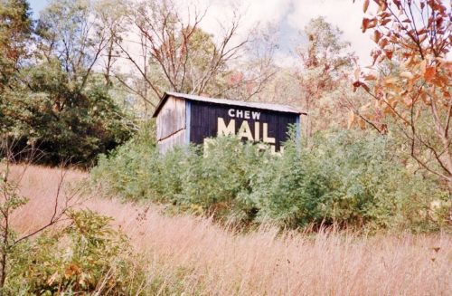
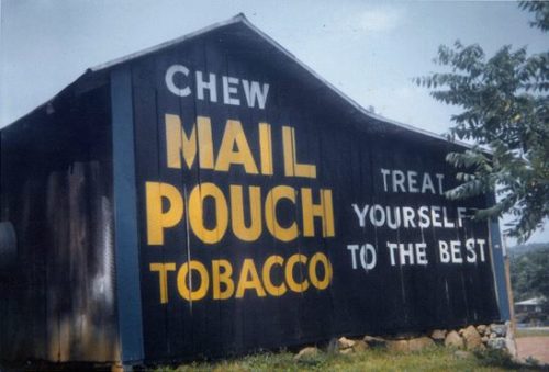
*GONE* (razed and removed) Along the northwerst side of Bloomery Pike (WV-29) northeast of US-50 intersection by 7.1 miles. The barn was on the left side of the highway headed northeast. The Mail Pouch sign faced southeast. One side. Black background.
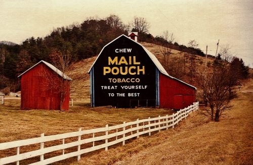
Along the east side of Goodhope Pike (US-19) north of the 4th St. intersection, in Jane Lew, by 5.2 miles. The barn was on the right side of the highway (along Oak St.) neaded north from Jane Lew. The Mail Pouch sign faces west. One end. Black background plaque sign mounted on a red barn.
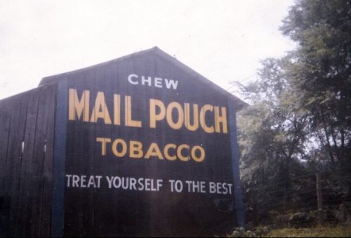
Along the northeast side of Good Hope Pike (US-19) north of the Lewis Co. line by about 1.2 miles. The barn is on the right side of the highway headed northwest. Two sides. Black backgrounds.
*GONE* (razed and removed) Along the north side of CR-50/39 (Sunvalley Rd. - Old US Rt. 50) west of US-50 by about 1.4 miles. The barn was on the right side of the road headed west. The Mail Pouch sign faced west. One end. Red background.
*GONE* (razed and removed) Along the west side of Buckhannon Pike (WV-20) south of the WV-98 intersection, in Nutter Fort, by 0.3 mile. The barn was on the right side of Buckhannon Pike headed southeast from WV-98. The Mail Pouch sign faced southeast. One end. Black background.
*GONE* Along the southeast side of Milford St. (US-19), in Good Hope. The barn was south of Mail St. intersection, in West Milford, by 2.5 miles. The barn was on the left side of Milford St. headed south from West Milford. Mail Pouch sign on both sides of the barn. Black backgrounds.
Along the west side of Parkersburg Rd (CR-21/old US-21), south of the Wirt Co. line by about 1.7 miles. The barn is on the right side of the road headed south. The Mail Pouch sign faces east. One end. Black background. See 'Other Information' regarding this barn.
Along the east side of Parkersburg Rd. (CH-21/old US-21) south of the Wirt Co. line by 7.0 miles. The barn is on the left side of the road headed south. The Mail Pouch sign faces north. One end. Black Background. Greatly faded.
Along the northwest side of Parkersburg Rd. (CR-21/old US Rt. 21) south of Wirt Co. line by about 9.0 miles. The barn is on the right side of the road headed southwest. Two ends. Black backgrounds.
Along the east side of Evans Rd. (CR-5) north of WV-87, in Evans, by about 2.0 miles. The barn is on the right side of the road headed north. The Mail Pouch sign faces south. One end. Red background. Greatly faded.
*GONE* (razed and removed) Along the west side ofCharleston Rd.(CR-21/old US-21), west of I-77, exit 119, by about 0.2 mile. The barn was on the left side of the road headed west from I-77. Two Mail Pouch signs. Mail Pouch end faced southeast. Mail Pouch side faced northeast. Black backgrounds.
*GONE* (fallen) Along the southwest side of Charleston Rd. (CR-21/old US-21) south of I-77, exit 132, by about 1.6 miles. The barn was on the right side of the road headed southeast. The Mail Pouch sign faced northwest. One end. Black background.
Along the south side of Ripley Rd. (WV-62/old US-33) west of I-77, exit 138, by about 3.5 miles. A driveway bears off to the left. The barn is on the left side of the driveway headed west. Two ends. Black background.
*GONE* (razed and removed) Along the east side of Parkersburg Rd. (CR-21/oldUS-21) south of Sandyville by about 5.0 miles. The barn was on the left side of the road headed south, behind the West Virginia Forestry Building. Two ends. Black backgrounds.
*GONE* (fallen and removed) Along the southeast side of New Haven Rd. (WV-62/old US Rt. 33/Blue and Grey Trail), southwest of the intersection with WV-2 by 0.1 mile. The barn was on the left side of New Haven headed southwest from WV-2. Two ends. Black backgrounds.
*GONE* (fallen) Along the west side of Parkersburg Rd. (CR-21/old US Rt. 21), north of US-33 (W. Main St.), in Ripley by about 4.3 miles. Across from the 'Church of Christ' (the old Mud Run Baptist Church) The barn was on the left side of the highway headed northwest. The Mail Pouch sign faced northeast. One end. Black background.
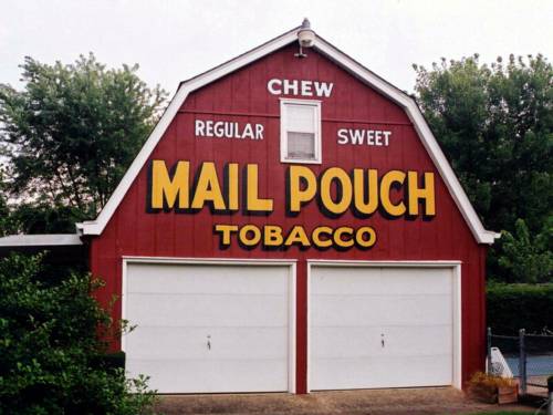
*GONE* (painted over) Along the southeast side of Crede Dr., in Charleston. From I-79 take US-119 east approximately 2.0 miles to Crede Dr. Make a right onto Crede Dr. southwest about 1100'. 3610 is on the left. Mail Pouch sign was on a garage in the backyard adjacent to the swimming pool. The Mail Pouch sign faced southwest. One end. Red background.
Along the southeast side of Elk River Rd. S (US-119) southwest of WV-4 junction, in Clendenin, by about 5.9 miles. The barn is on the left side of the highway headed southwest. The Mail Pouch sign faces northeast. One end. Black background.
Along the northwest side of Elk River Rd. S (US-119) southwest of WV-4 junction, in Clendenin, by about 6.2 miles. The barn is on the right side of the highway headed southwest. The Mail Pouch sign faces southwest. One end. Black background.
Along the south side of US-33/US-119 west of the Polk St. intersection, in Pricetown, by about 3.4 miles. The barn is on the left side of the highway headed west. The Mail Pouch sign faces north. One end. Black background.
