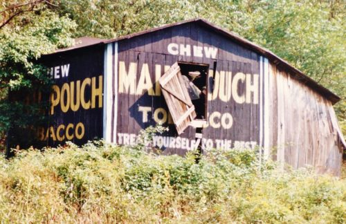
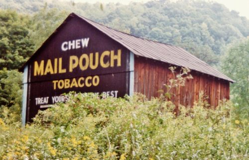
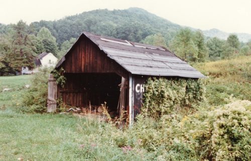
*GONE* (fallen and removed) Along the southeast side of Mountain Valley Pkwy. (WV-20), in Hacker Valley, southwest of the intersection with School Loop Rd./Valley Dr. intersection by about 430'. The barn was on the left side of the Mountain Valley Pkw. headed southwest. Mail Pouch end sign faced southwest. Mail Pouch side sign faced northwest. Black backgrounds.
Along the east side of Mountain Parkway (Cleveland Rd./WV-20) north of Park Rd. (entrance to Holly River State Park) by about 2.0 miles. North of Hacker Valley by about 3.5 miles. The barn is on the right side of the highway headed north. The Mail Pouch sign faces north. One end. Black background. Same site as MPB 48-51-03.
Along the east side of Mountain Pkwy (Cleveland Rd./WV-20) north of Park Rd. (entrance to Holly River State Park) by about 2.0 miles. North of Hacker Valley by about 3.5 miles. The barn is on the right side of the highway headed north. The Mail Pouch barn is up along the driveway to the house. The Mail Pouch sign faces south. Black background. Same site as MPB 48-51-02.
*GONE* (razed and removed) Along N. Main St. on the right side of the street just after crossing the bridge. The Mail Pouch sign faced north. One end noted; however, could be painted on both ends.


