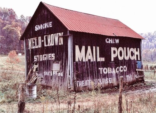
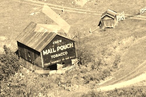
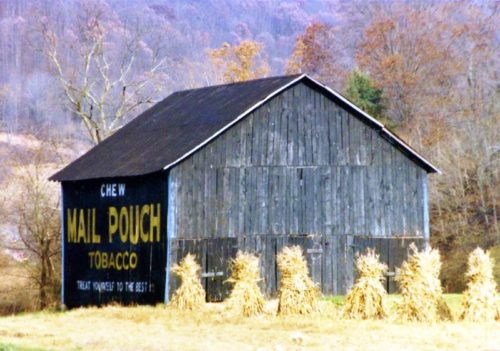
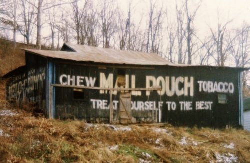
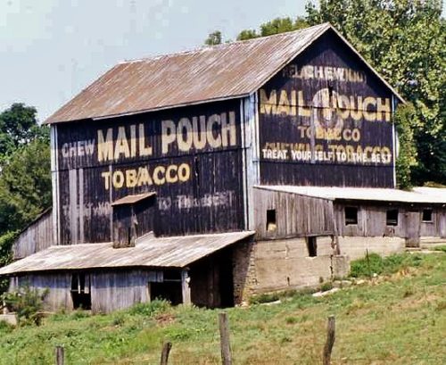
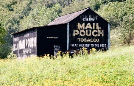
*GONE* Along the north side of Old. US-50 (CR-50/30; Smithson Rd.) west of US-50 intersection by about 0.8 miles. The barn was on the right side of the road headed northwest. Mail Pouch signs on the Northwest and southeast sides. Melo Crown sign on the northeast end. Black backgrounds.
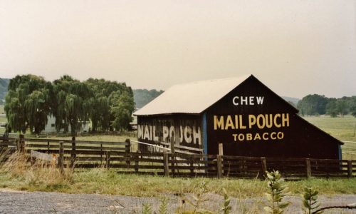
Along the north west side of Northwestern Pike (US-50/WV-28) east of US-220 intersection by about 2.2 miles. The barn is on the left side of the highway headed east. Two ends. One side. Black backgrounds.
*GONE* (razed and removed) Along the southeast side of WV-2 (Huntington Rd.) south of US-35 by 18.1 miles. The barn is on the left side of the highway headed southwest. Mail Pouch and Melo Crown Stogie signs faced northwest. One side. Black backgrounds.
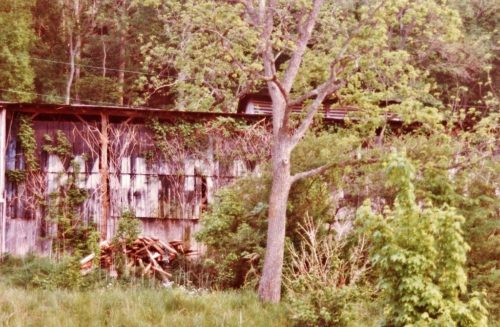
*GONE* (faded away) Along the east side of WV-62 (Charleston Rd.) north of the Allen St. (cr 1/1), in Buffalo, by 6.0 miles. North of the MPB 48-26-06 site by 0.3 mile. The barn is on the right side of the highway headed north. The Mail Pouch & Melo Crown Stogies signs faced west. One side. Original Black backgrounds.
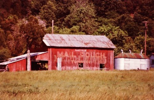
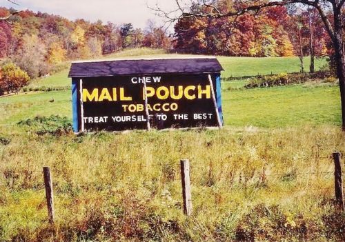
Along the northeast side of N Preston HWY (WV-26) south of I-68 exit 23 by about 2.2 miles. At about the 2.2 mile point south of I-68 there is a road that leaves the highway on the left side and enters a pasture beyond the trees. Take the road into the pasture, the barn is on the left side. The Mail Pouch sign faces south and is only visible driving north on WV-26. One end. Black background. Faded.
*GONE* (fallen and removed) Along the southeast side of Charleston Rd. (US-119) south of US-33 (Main St.), in Spencer, by about 3.75 miles. The barn was on the left side of the highway headed southwest. Mail Pouch end faced northeast. Mail Pouch side faced northwest. Black backgrounds.
*GONE* Along the southeast side of Energy Hwy (WV-2) northern edge of Friendly. North of intersection with Front St., in Friendly, by 0.1 mile. The barn was on the right side of the highway headed northeast away from Friendly. The Mail Pouch side faced northwest. The Melo Crown end faced northeast. Black backgrounds.
OH Rt. 128 (Hamilton Cleves Pike Rd.) west of I-74/I-275/US Rt. 52 by about 2.5 miles. Take exit 7 to OH Rt. 128 (Hamilton Cleves Pike Rd.) and head west. The barn is on the right side of the road headed west. Two ends. One side. Black.
OH Rt. 26, south of OH Rt. 800 by about 1.4 miles. The barn is on the right side of the highway headed south. Two ends and one side. Black.
US Rt. 219/WV Rt. 55 south of US Rt. 250 by about 9.8 miles. The barn is on the left side of the highway headed south. Two ends. One side. black.
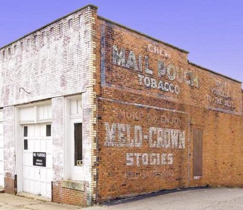
*GONE* (razed and removed) Northwest corner of Marshall St. & 10th St. in McMechen. The brick building was on the right side of Marshall St. headed south toward 10th St. The Mail Pouch/Melo Crown signs faced north. One side. Brick building. Black backgrounds.
