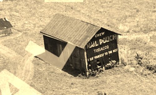
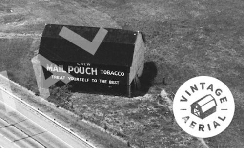
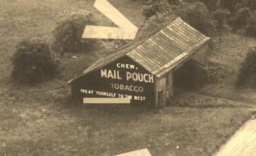
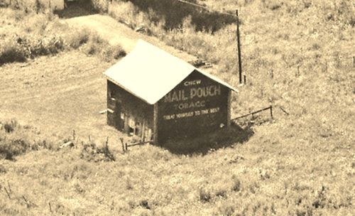
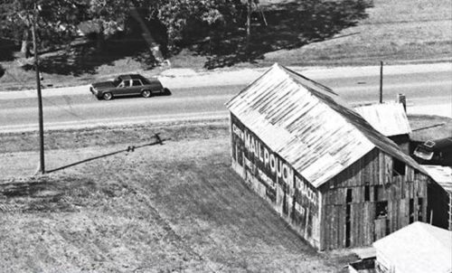
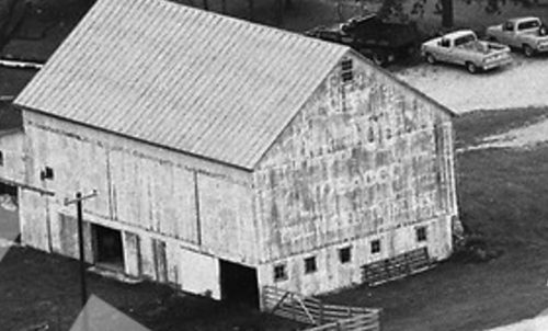
*GONE* (razed and removed) Along the southeast side of OH-7, south of the OH-681 intersection, in Tuppers Plains, by 2.8 miles. The barn was on the left side of the highway headed southwest from Tuppers Plains. The Mail Pouch sign faced southwest. One end. Black Background.
*GONE* (razed and removed by the early 1970's) Along the northwest side of OH-7, northeast of the US-33 intersection by 0.3 miles. The barn was on the left side of the highway headed northeast from US-33. The Mail Pouch sign faced east. One side. Black Background.
*GONE* (razed and removed) Along the west side of Rockspring Rd (CH-20) north of the intersection with Fairgrounds Rd, at the Meigs County Fair Grounds, by 2.7 miles. The barn was on the left side of the road headed north from the Fair Grounds. The Mail Pouch sign faced east. One end. Black Background.
*GONE* (razed and removed) Along the northwest side of OH-7 south of OH-681 intersection, in Tuppers Plains, by 4.6 miles. The barn was on the right side of the highway headed southwest. The Mail Pouch sign faced northeast. One end. Black Background.
*GONE* (razed and removed) Along the south side of OH-29 (W. Logan St.) west of Main St. (US-127), in Celina, by 0.9 mile. The barn was on the left side of the street headed west from US-127. The Mail Pouch sign faced north. One end. MP sign with black background against a red barn.
*GONE* (painted over) Along the west side of OH-49 south of OH-29 by 750'. The barn is on the left side of the highway headed south. The Mail Pouch sign faced north. One end. Black Background.
*GONE* (razed and removed) Along the southwest side of US-33 northwest of the OH-29 intersection (north of St. Mary) by 8.5 miles. The barn was on the left side of the highway headed northwest. The Mail Pouch sign faced southeast. One end. Red Background.
*GONE* (razed and removed) Along the south side of US-36 west of N. High St, (OH-43), in Covington, by 1.3 miles. The barn was on the left side of the highway headed west from Covington. The Mail Pouch sign faced west. One side. Black Background.
*GONE* (painted over) Along the northeast side of OH-66 northwest of N. Main St. intersection, in Piqua, by 3.0 miles. The barn is on the left side of the higway headed nothwest out of Piqua. The Mail Pouch sign faced northwest. One end. Black Background.
OH-800, northwest of OH-7 by about 10.4 miles. The barn is on the left side of the highway headed north. Two ends. Black backgrounds.
OH-26/OH- 800 south of OH-78 (W. Court St.) in Woodsfield, by about 1.25 miles. The barn is on the right side of the highway headed south from Woodsfield. The Mail Pouch sign faces southeast. One side. Black background.
*GONE* OH Rt. 26 south of OH Rt. 800 by about 3.9 miles. The barn was on the right side of the highway headed south. The MP sign faced south. One end. Black.
OH-255 north of OH-7 by about 6.5 miles. The barn is on the right side of the highway headed north. Two ends. One end Red background. One end Black background.
OH-800 north of OH-78 by about 3.5 miles. The barn is on the left side of the highway headed north. The Mail Pouch sign faces north. One end. Black background.
OH Rt. 78 southeast of OH Rt. 379 by about 1.2 miles. The barn is on the left side of the road headed southeast. The MP sign faces southwest. One side. Black.
OH Rt. 78, northwest of OH Rt. 145 by about 3.0 miles. The barn is on the left side of the highway headed northwest. Two ends. Black.
OH Rt. 78, northwest of OH Rt. 145, in Lewisville, by about 2.3 miles. The barn is on the left side of the highway headed northwest. The MP sign faces east. One end. Black.
*GONE* (fallen) OH Rt. 26, south of OH Rt. 537 by about 1.0 mile. The barn is on the left side of the highway headed south. Two ends. Black. South end greatly faded.
*GONE* OH Rt. 800/OH Rt. 26 south of the OH Rt. 78 (Lewisville Rd.) intersection, in Woodsfield, by 1.2 miles. The barn was on the left side of the highway headed south. Two Mail Poiuch signs; the north end and the west side. Black back grounds.
OH Rt. 78 northwest of OH Rt. 145 (Malaga St.), in Lewisville, by 7.3 miles. The barn is on the right side of the highway headed south. The MP sign faces south. One side. Red. Greatly faded.
